📜 Defensive Prior Art
Technical disclosures for proposed systems, published online with dated revision history so readers can examine the disclosed material and how it changed over time.
These pages describe proposed technical systems; many are unbuilt. Whether any page qualifies as prior art, and what it discloses, depends on the facts, including public accessibility, timing, and the disclosure’s content. Publication does not establish novelty, patentability, freedom to operate, or public-domain status. This is general information, not legal advice. Source history on GitHub →
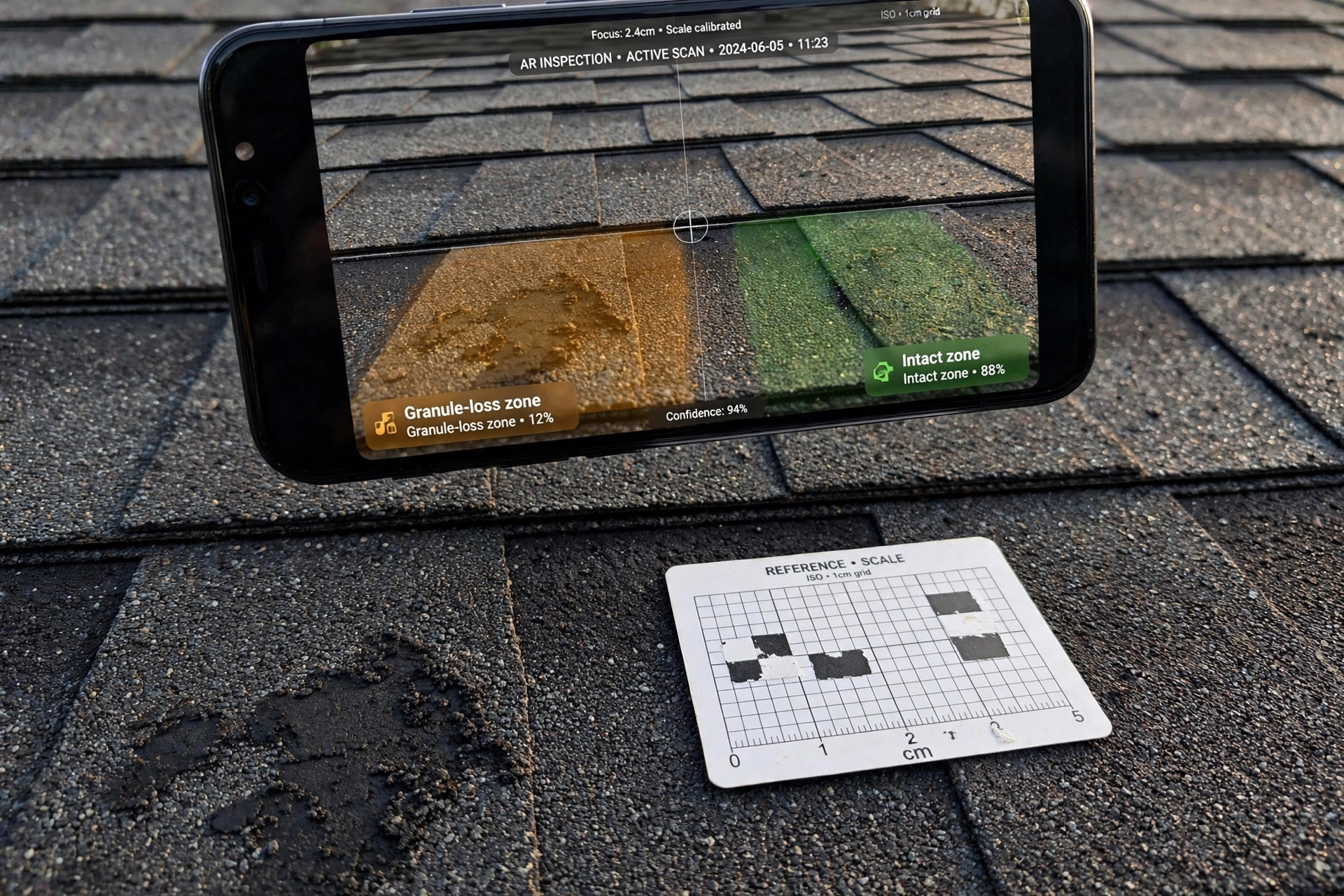
System and Method for Quantifying Asphalt Shingle Granule Loss and Estimating Remaining Roof Service Life Using Smartphone Camera Texture Analysis
A shingle that has lost its granules is a shingle on a countdown, but field assessment is still a roofer's glance. A smartphone app photographs shingle surfaces with a reference card in frame, normalizes scale and illumination, and fuses GLCM texture features, exposed-mat pixel fraction, and specular uniformity into a per-location Granule Retention Index. Differential calibration against the roof's own least-weathered plane reduces lot and color variation; a spatial classifier separates UV aging, hail bruising, foot-traffic wear, and manufacturing defects; and seasonal repeat surveys feed a remaining-life model with honest, narrowing confidence bands.
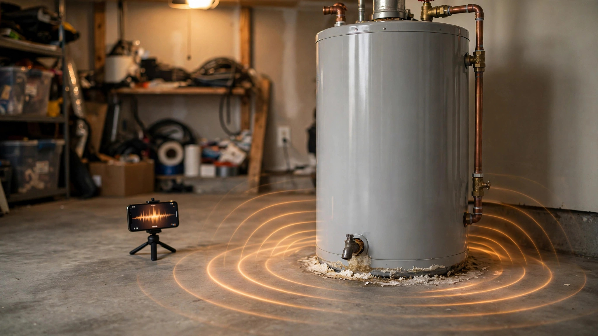
System and Method for Quantifying Sediment Accumulation in Residential Storage Water Heaters Using Passive Smartphone Acoustic Analysis
Sediment is a water heater's silent efficiency thief, and the standard diagnostic is a plumber's ear. A smartphone app records audio during heating cycles and fuses three passive signals: steam-bubble collapse transients (the popping and kettling of water flash-boiling beneath the sediment crust), water-column resonance drift against a per-tank baseline, and burner on-time lengthening across usage-matched cycles. The fused sediment index maps to estimated depth and lost capacity, with advisory and flush-now tiers that name their evidence. No hardware, no draining, no contact sensors.
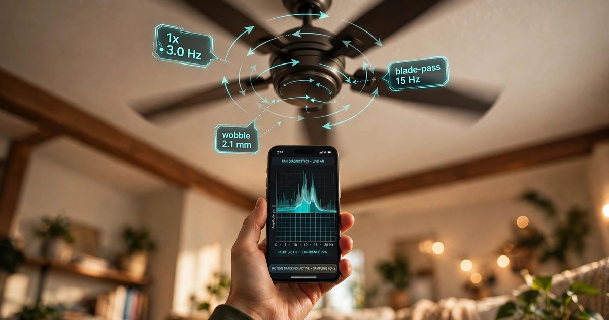
System and Method for Diagnosing Ceiling Fan Mechanical Imbalance, Bearing Degradation, and Mount Failure Risk Using Smartphone Camera-Based Optical Flow Wobble Analysis
Wobble is treated as a cosmetic annoyance, but out-of-balance operation is a cited mechanism in CPSC fall-from-ceiling recalls. A smartphone app records video at two speeds and performs markerless optical-flow tracking of the motor housing and blade-sweep region, no tape or markers. Spectral decomposition separates the 1x imbalance band, the blade-pass band, a 0.4-0.8 Hz downrod pendulum-sway mount mode, and broadband bearing wear. Pixel motion is calibrated to millimeters via fan diameter or AR depth. Phase analysis against the blade-pass flicker reference identifies the heavy blade for guided counterweight placement, and a mount-failure risk score triggers a stop-and-inspect alert.
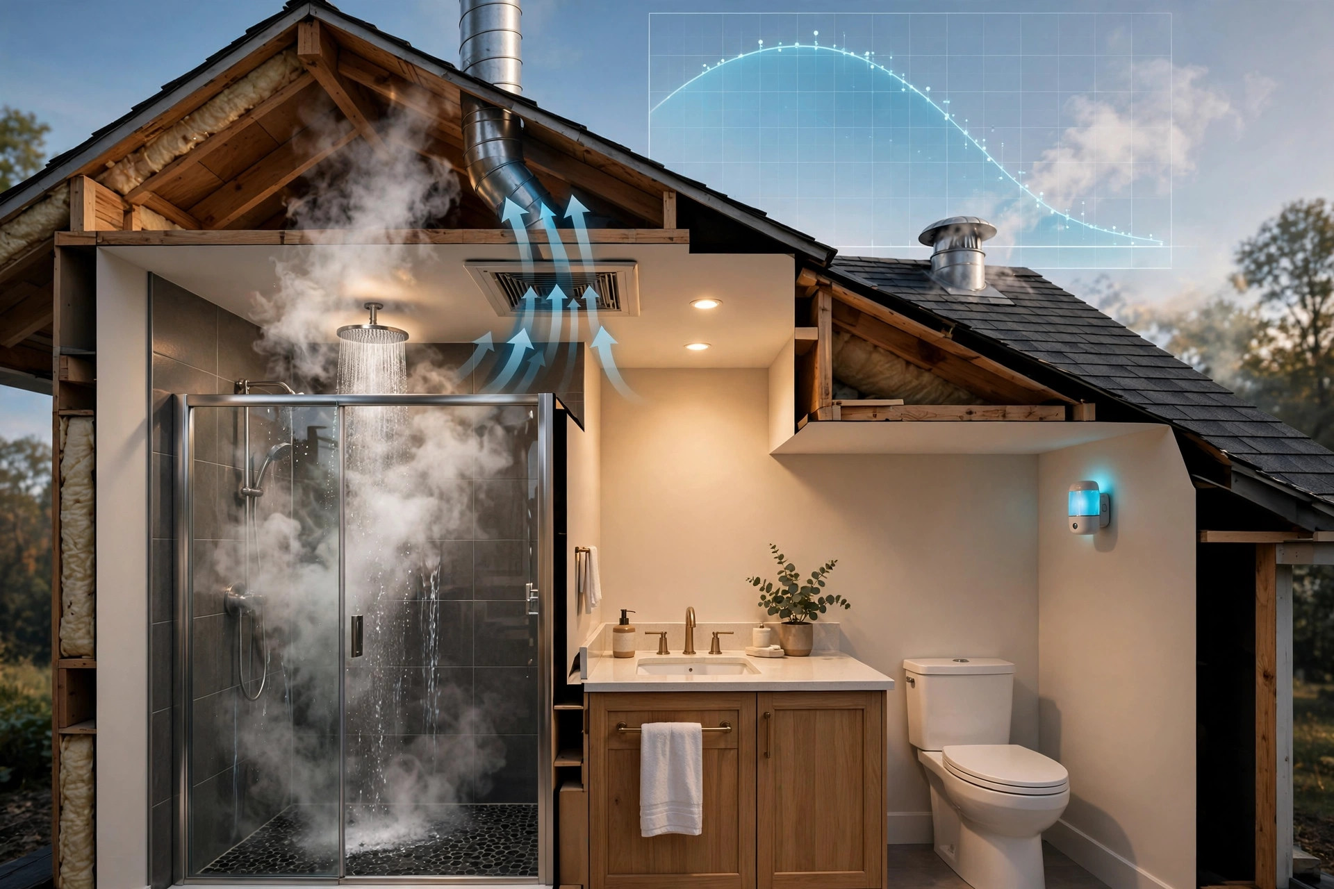
System and Method for Auditing Residential Bathroom Exhaust Ventilation Effectiveness via Humidity Decay Analysis and Acoustic Airflow Verification
Every bathroom exhaust fan gets switched on; almost none get verified. A room humidity sensor records the moisture decay curve after each shower, an edge hub converts readings to absolute humidity and fits an exponential decay to derive effective air changes per hour, and a microphone verifies the fan actually ran. Directional signature tests separate dead motors, disconnected ducts, stuck dampers, clogged grilles, undersized fans, and occupant behavior, producing a per-bathroom ventilation score against ASHRAE 62.2 expectations plus an independent mold-risk index.
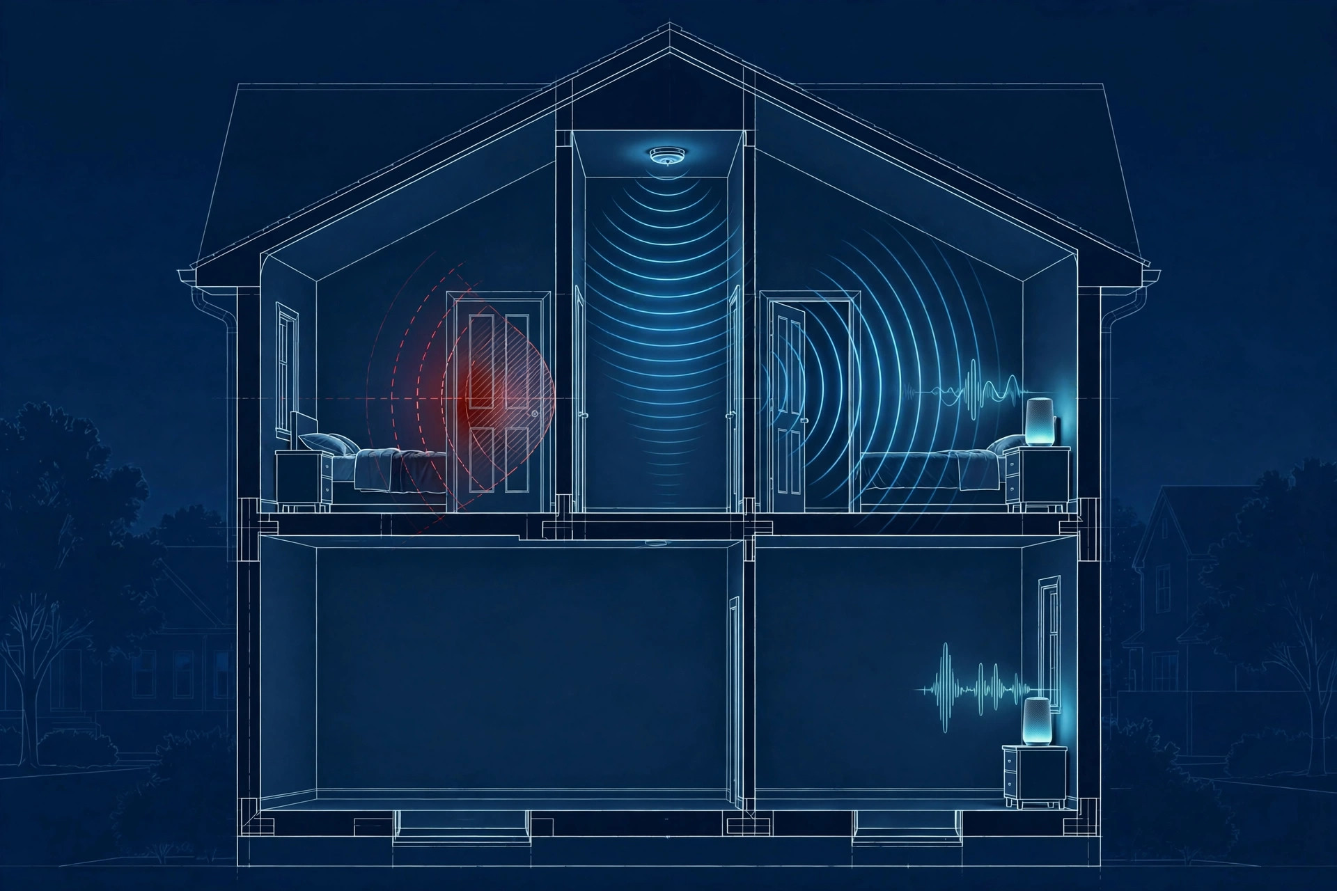
System and Method for Verifying Life-Safety Alarm Audibility Coverage in Residential Structures Using Distributed Acoustic Sensing
Code requires smoke alarms to be audible at 75 dBA at the pillow with bedroom doors closed; almost nobody verifies it. Microphones already in the home (smart speakers, phones, MEMS nodes) listen during a guided test sequence, identify the standardized T3/T4 temporal alarm patterns near 3.1 kHz, and map received sound levels to rooms. Dead zones get remediation guidance and retest workflows, a longitudinal module projects sounder end-of-life from declining output across tests, and an interconnect check confirms triggering one alarm sounds them all.
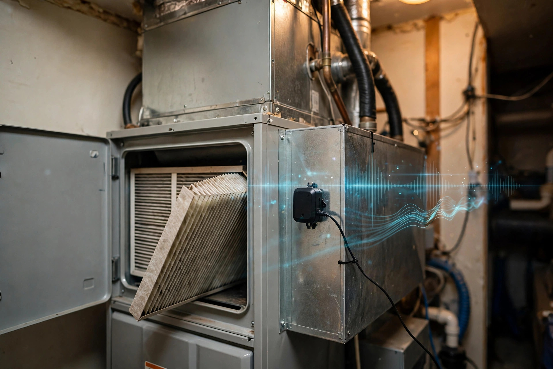
System and Method for Estimating Air Filter Loading State in Forced-Air HVAC Systems via Blower Acoustic Signature, Motor Current, and Thermostat Telemetry Fusion
A sensor-fusion system that measures how loaded a forced-air HVAC filter actually is, instead of guessing from calendar time or equipment runtime. A microphone on the air handler, a current sensor on the blower motor, and thermostat telemetry feed an edge hub that tracks acoustic and electrical drift against a per-installation clean-filter baseline, decoupling filter loading from closed dampers, blower faults, and duct blockage.
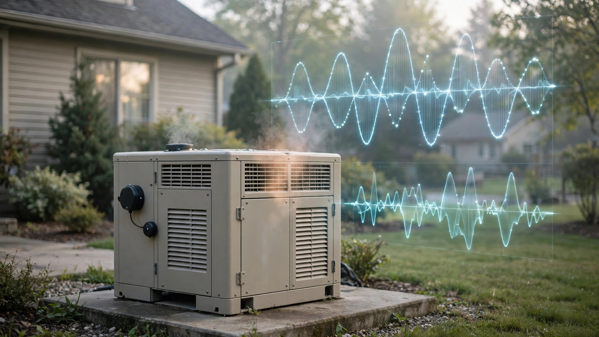
System and Method for Prognostic Health Monitoring of Residential Standby Generators Using Exercise-Cycle Acoustic, Vibration, and Electrical Signatures
A retrofit sensor kit that turns the weekly exercise cycle of a residential standby generator into a diagnostic stimulus. A weatherproof microphone, frame-mounted accelerometer, and battery voltage tap record crank-to-shutdown signatures during each self-test; an edge hub analyzes crank voltage sag, firing-frequency harmonics, and run-up timing against a per-installation baseline to predict battery, starter, ignition, fuel-delivery, and governor failures before the next outage.
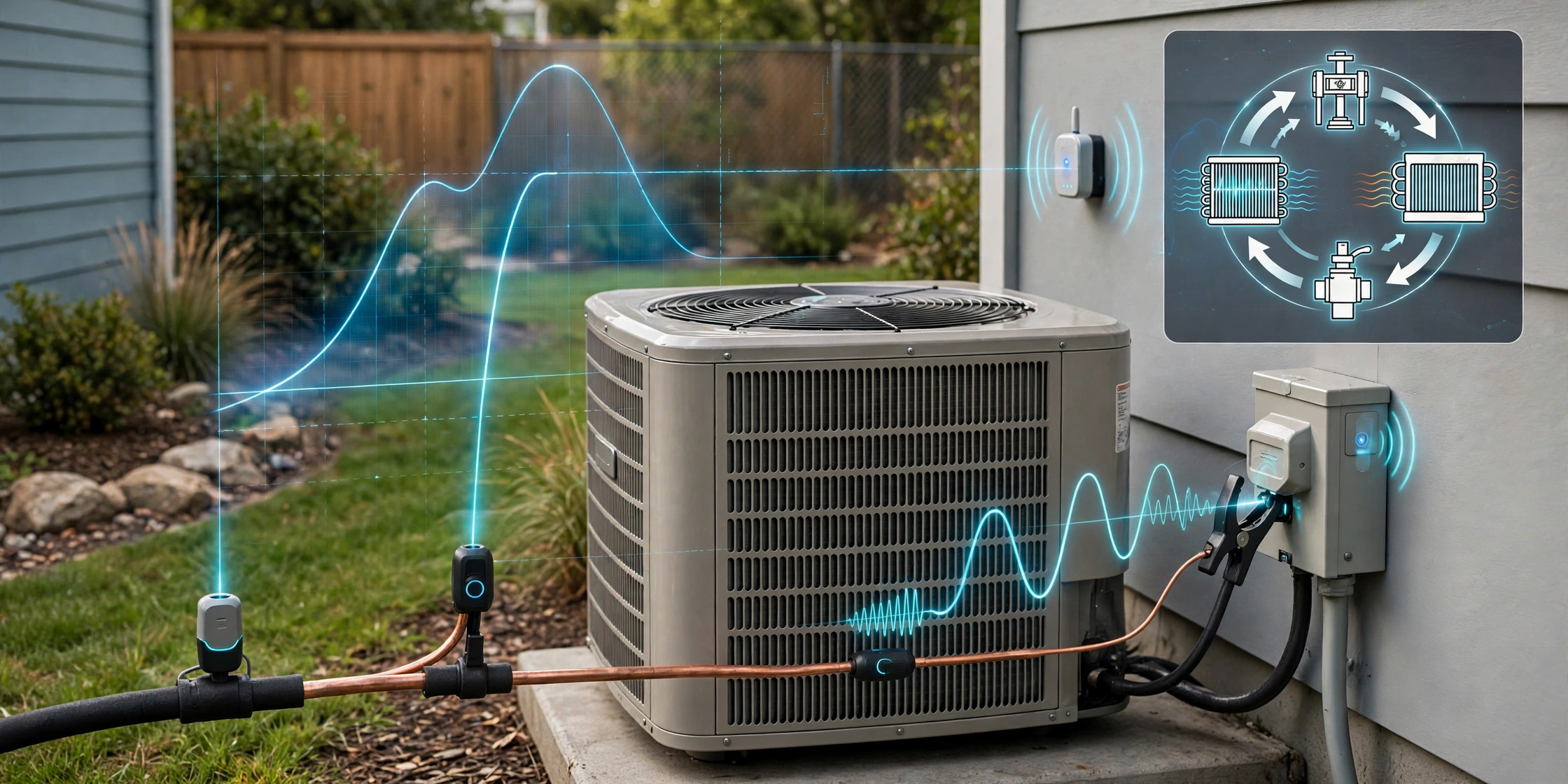
System and Method for Refrigerant Charge Loss Detection in Vapor-Compression HVAC Systems Using Non-Invasive Pipe-Surface Thermometry, Compressor Electrical Signature Analysis, and Duty-Cycle Drift Monitoring
A retrofit sensor kit that detects refrigerant charge loss in residential air conditioners and heat pumps with no pressure gauges and no intrusion into the sealed refrigerant circuit. Clip-on pipe-surface thermistors on the suction and liquid lines, a split-core current transformer on the outdoor unit feed, and thermostat runtime data feed an edge hub that computes virtual superheat and subcooling proxies, tracks steady-state compressor current, and monitors duty-cycle drift against an adaptive per-installation baseline. A fault-decoupling module separates the charge-loss signature from low airflow, fouled condenser coils, liquid-line restrictions, and expansion-valve faults, and a graduated response reports estimated energy waste, issues a technician evidence summary, and warns of compressor damage risk.

System and Method for Early Detection of Respiratory Disease in Commercial Poultry Flocks Using Distributed Acoustic Monitoring with On-Device Classification
Respiratory vocalizations rise 24-72 hours before mortality spikes: a 7-11 node MEMS microphone array per barn runs an on-device INT8 CNN over log-mel spectrograms to classify coughing, sneezing, rales, and gasping against barn confounders; STA/LTA triggering with ring-buffer replay means no continuous audio is stored. An adaptive 7-day rolling baseline tracks each flock across the grow-out cycle; Bayesian fusion of acoustic scores with ammonia, temperature, humidity, water and feed consumption, and mortality separates infectious patterns from irritant-driven sneezing; zone interpolation plus wired-embodiment TDOA localize the outbreak origin; and a graduated biosecurity response escalates from manager inspection to veterinary sampling to draft regulatory reporting packages, with explicit de-escalation criteria to defeat alert fatigue. 12 claims.
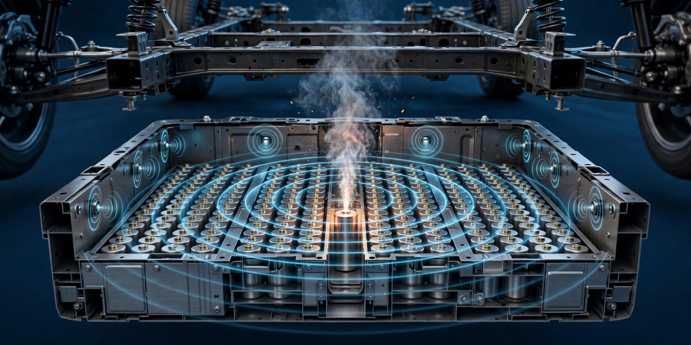
System and Method for Early Detection of Lithium-Ion Battery Cell Venting Using In-Pack Acoustic Sensing Fused with Battery Management Telemetry
Cell venting is the earliest definitive precursor of thermal runaway, and sound crosses a pack in milliseconds while gas sensors wait on diffusion and thermistors wait on heat conduction. A per-module MEMS microphone array feeds an on-device CNN trained on abuse-test vent signatures (rupture transient plus 2-8 kHz gas jet) versus confounders like contactors, potholes, and coolant pumps; STA/LTA triggering with ring-buffer replay bounds compute. Bayesian fusion with BMS voltage-dip and temperature-rise telemetry confirms the event, TDOA localizes the venting module, and a graduated response escalates from driver alert to contactor opening to emergency notification with the module map. Variants cover cabin-microphone retrofit by software update, smartphone charger-side monitoring for e-bike batteries, containerized storage per-rack localization, and a post-crash low-power acoustic watch. 12 claims.
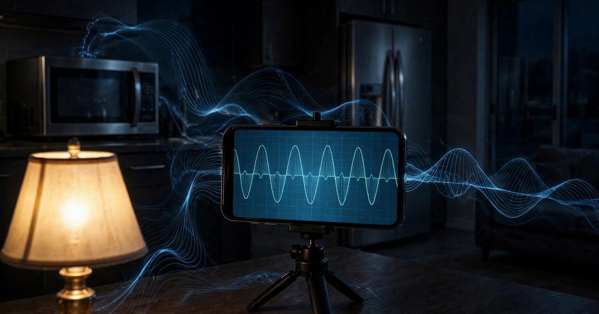
System and Method for Non-Intrusive Appliance Load Disaggregation Using Optical Flicker Signatures Captured by Consumer Camera Devices
No panel access, no plug sensors, no electrician: a consumer camera aimed at an existing lamp recovers the household appliance event stream from the 100/120 Hz flicker envelope, which tracks branch-circuit voltage. Rolling-shutter row-rate luminance at ~32 kHz effective sampling demodulates the flicker; CUSUM change-point detection plus inrush transient replay (dip depth, duration, overshoot) classify appliances against a per-household signature library; split-phase leg comparison identifies 240 V vs 120 V loads; and inrush drift over months becomes a predictive-maintenance signal. 12 claims.
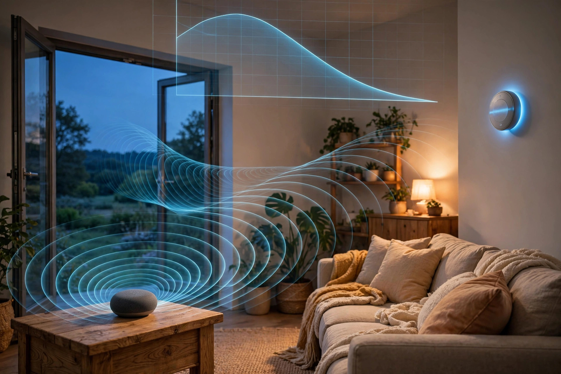
System and Method for Open-Window and Open-Door Detection via Active Acoustic Room-Response Probing on Consumer Smart Speakers with HVAC Energy-Waste Estimation
Smart speakers already contain the hardware for sonar: a loudspeaker and a microphone array. Each speaker periodically emits a short, low-level near-ultrasonic chirp during quiet moments and recovers the room impulse response by deconvolution. An open window or door changes the room's boundary conditions, cutting high-band reverberation time and erasing specific early reflections; an adaptive per-room baseline plus change-point detection flags the event, beamforming classifies window vs. exterior door vs. interior door, multi-speaker corroboration localizes it, and thermostat correlation converts open-envelope conditioning time into kilowatt-hours and dollars for a staged nudge. All processing is on-device; raw audio is discarded immediately. 12 claims.
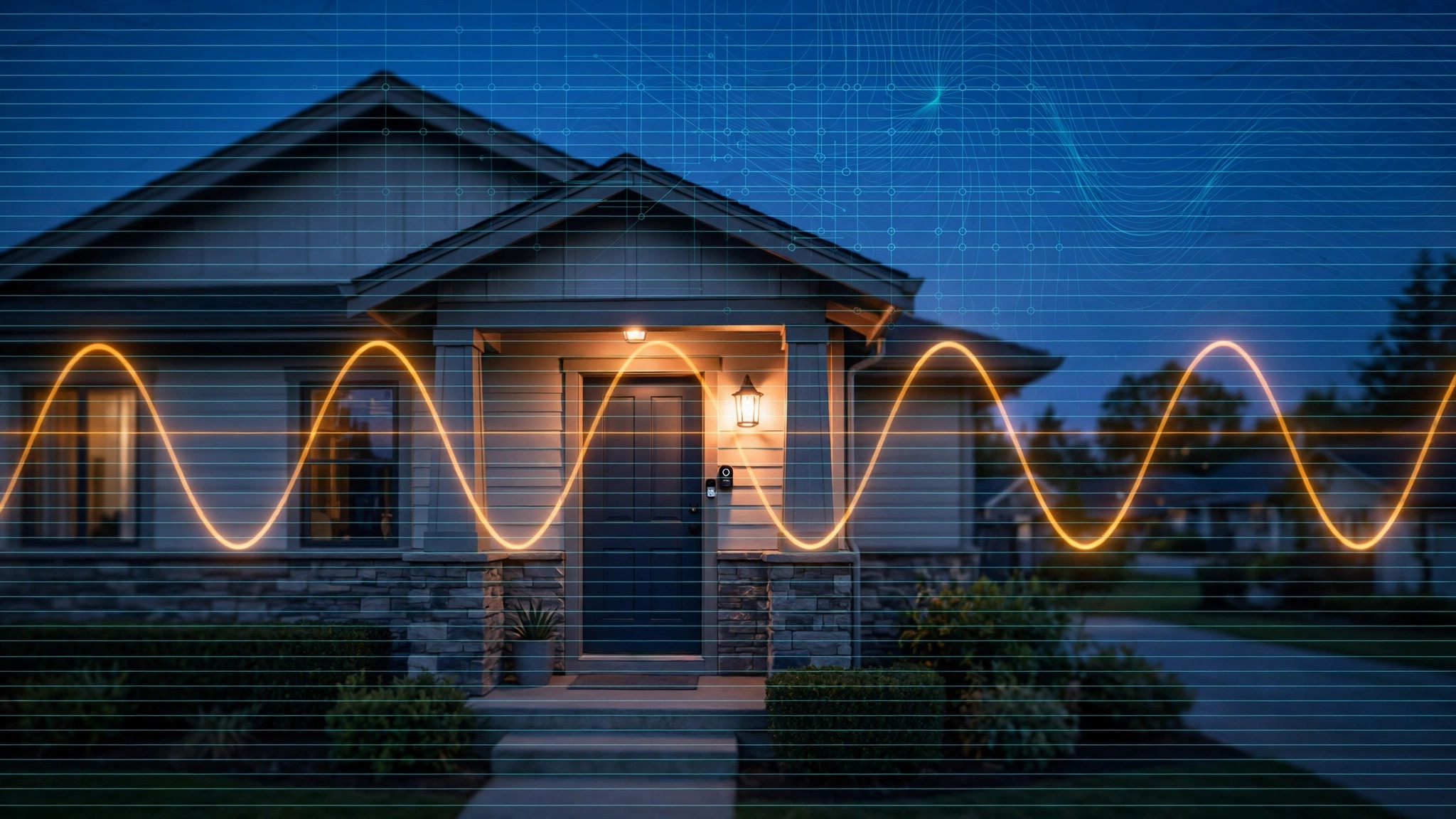
System and Method for Distributed Power Grid Frequency Monitoring Using Rolling-Shutter Flicker Analysis of Artificial Lighting in Crowdsourced Consumer Video Feeds
Mains-driven lamps flicker at twice the grid frequency, and a rolling-shutter sensor samples that flicker at tens of kilohertz within a single frame. On-device extraction turns the installed base of security cameras and video doorbells into a virtual synchrophasor network: per-row luminance time series, auto-calibrated row readout time, modulation-depth gating, interpolated spectral estimation to milli-Hertz precision, and a coordinator that builds live frequency contour maps and detects generator trips and islanding. Only scalar frequency records leave the device; no scene imagery is transmitted. 12 claims.
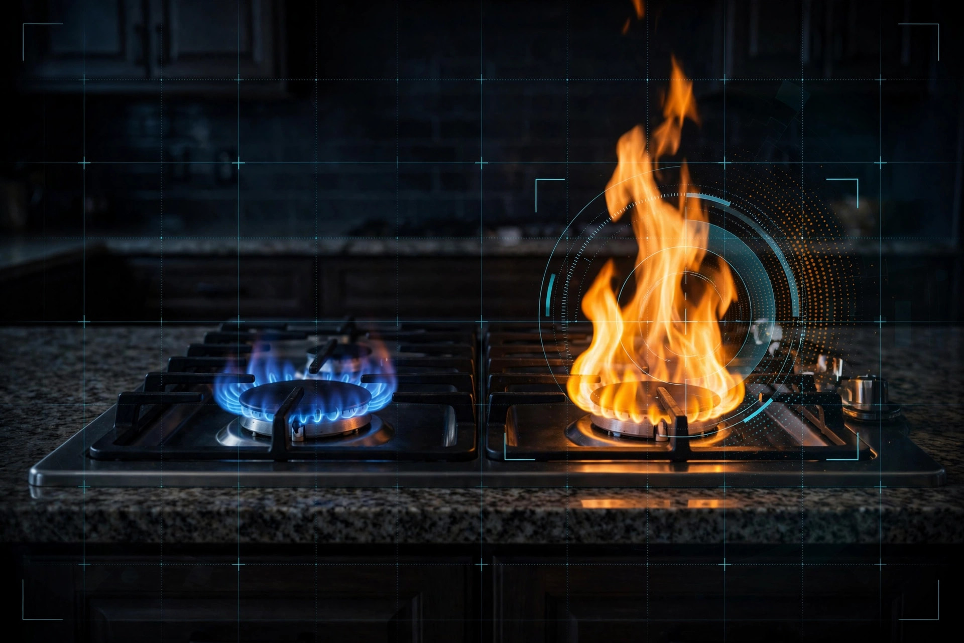
System and Method for Residential Gas Burner Incomplete-Combustion Detection via Flame Chromaticity and Flicker Analysis on Consumer Cameras
An ordinary kitchen camera watches each gas burner and measures the blue-to-yellow chromaticity balance plus flame flicker dynamics on-device. A persistent yellow-tip fraction during steady operation raises a staged per-burner advisory (clogged ports, misaligned cap, air shutter), with white-balance correction via a reference patch, transient sodium-flare rejection, multi-burner attribution, and optional CO-detector corroboration. Automated gas shutoff is explicitly excluded. 12 claims.

System and Method for Wearable-Based Danger Detection with Staged Escalation and Multi-Sensor Confirmation
A wrist-worn system that fuses accelerometer, gyroscope, barometer, microphone, PPG, and GPS to detect overdose, assault/struggle, and gunshots, with staged escalation: on-device classification, a discreet user confirmation window, then an automatic emergency call with location plus emergency-contact notification. The disclosure records the assault base-rate precision problem (roughly one real alarm in 164 at 99% specificity), gates assault dispatch on the confirmation window, requires multi-device corroboration before any gunshot dispatch, and treats the duress PIN as a UI input only. Passive coercion, abduction, and choking detection are explicitly excluded. 12 claims.

System and Method for Authenticating Mechanical Timepieces Using Smartphone Acoustic Escapement Analysis with Machine-Learned Counterfeit Detection
Every mechanical watch tick is a triplet of escapement transients that encodes the movement's geometry. This disclosure records that acoustic signature with a smartphone, extracts beat rate, beat error, and amplitude, computes a neural spectral fingerprint, and compares both against a crowdsourced, watchmaker-verified reference database keyed by caliber. A positional liveness challenge defeats replay spoofing: the watch is recorded in two orientations, and the orientation-dependent rate shift must match the genuine caliber's positional signature. 12 claims.

System and Method for Volunteer AI-Agent Execution of Verifiable Scientific Micro-Tasks via a Public Task Queue with Hash-Based Claims
A public, permissionless queue of bounded, verifiable scientific micro-tasks that any paid AI subscriber can point their own agent at, no provider permission required. Tasks ship as machine-readable manifests with verification rules; solved tasks are claimed by SHA-256 hash of the canonicalized result and verified by deterministic match, multi-party replication, spot-check against a gold table, or curator review. Verified solvers land in a public leaderboard. Results default to CC0; the framework is open source under MIT. 10 claims.
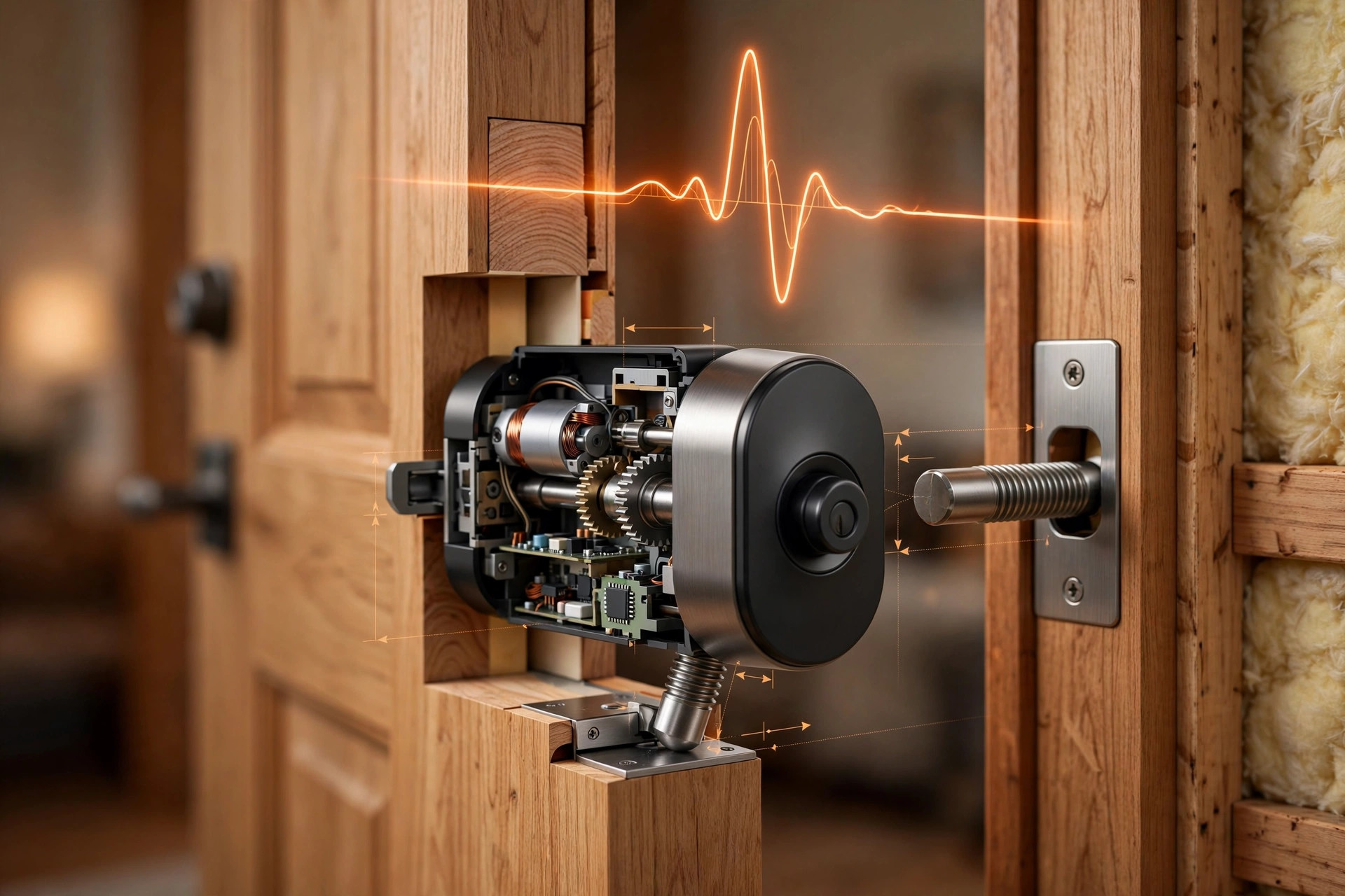
System and Method for Deadbolt Alignment Diagnostics and Predictive Lockout Prevention via Actuator Current Signature Analysis with Seasonal Frame-Movement Compensation
Smart deadbolts report "jammed" only after they fail to throw the bolt, usually at the worst possible moment. This disclosure adds a diagnostic layer that records the actuator motor's current waveform on every lock cycle, builds a per-door mechanical baseline, and splits drift into reversible seasonal frame movement (tracked against outdoor humidity) and progressive misalignment from hinge sag or settling. A position-resolved friction map pinpoints whether the drag is at the strike lip, the bore, or the mechanism, and the app tells the homeowner exactly which way to move the strike plate and by how much, weeks before a lockout. 12 claims.

System and Method for Wood Fence Post Decay Detection Using Ambient Wind-Excited Resonant Frequency Tracking with Networked Inertial Sensors
Wood fence posts rot at the ground line, invisibly, until a windstorm snaps them. This disclosure puts a clip-on inertial tag on each post and turns ordinary wind gusts into a diagnostic signal: each tag extracts the post's first-mode resonant frequency and damping on-device, and a cloud service separates reversible weather effects (soil saturation, wood moisture, temperature) from the monotonic frequency decline of decay. Neighboring posts in the same fence run serve as a built-in control group, rising damping corroborates the decay call, fleet-learned species curves estimate remaining life in months, and NWS gust forecasts trigger pre-storm alerts naming the specific posts at risk. 12 claims.

System and Method for Earthquake Early Warning Using Reverse-Electromechanical Transduction in Networked Smart Speaker Drivers
The voice-coil driver in a smart speaker works in reverse as a vibration sensor: building motion shakes the driver frame while the cone lags on its suspension, generating a measurable voltage. This disclosure turns the installed base of smart speakers into a zero-new-hardware earthquake early warning network. Idle-window sensing and back-EMF extraction during playback feed an on-device classifier that separates P-wave arrivals from door slams, subwoofers, and footfalls; only sub-20 Hz features leave the device. Fleet-level travel-time correlation confirms events, estimates the epicenter, and issues S-wave warnings seconds ahead of destructive shaking. 13 claims.
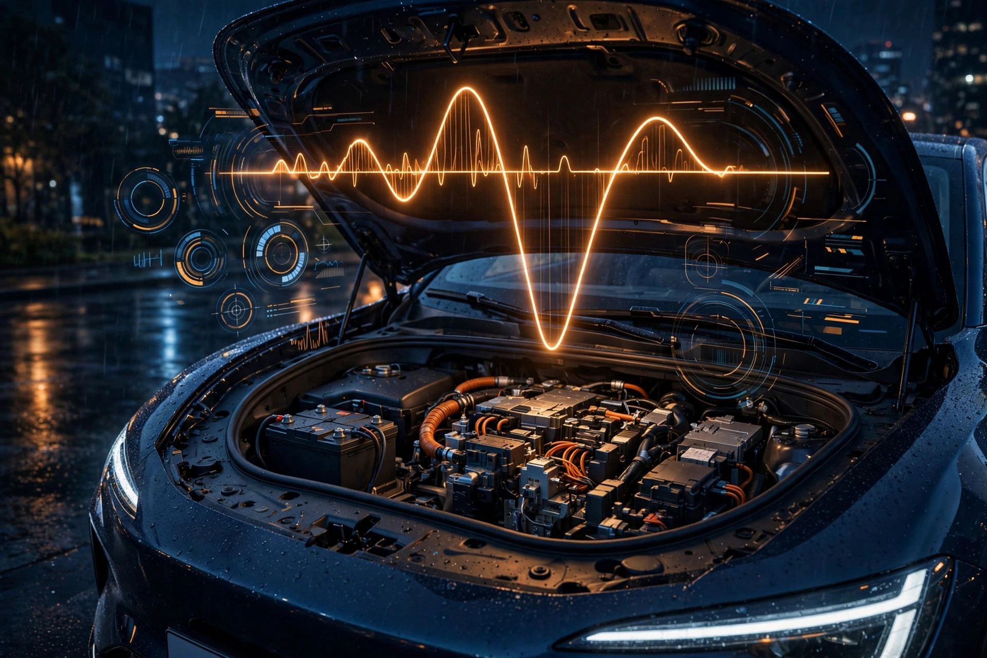
System and Method for Predicting Auxiliary Battery Failure in Electric Vehicles Using DC-DC Converter Telemetry and Quiescent Load Analysis
Electric vehicles still depend on a small 12-volt battery to close the high-voltage contactors, and when it dies the car bricks even with a full traction pack. This disclosure describes an edge diagnostics system that predicts that failure weeks ahead from electric-vehicle-specific signals: voltage sag during contactor-closure inrush (the EV analog of crank voltage, which EVs lack), DC-DC converter charge-acceptance profiling that reveals sulfation, temperature-compensated quiescent voltage decay during sleep, and shortening intervals between automatic DC-DC top-ups during parking. Per-vehicle baselines with changepoint detection drive tiered service alerts, and the fusion distinguishes genuine battery degradation from abnormal parasitic drain. 12 claims.

System and Method for Predicting Lithium-Ion Battery Thermal Runaway in Micromobility Devices Using Charger-Side Charge Curve Analysis Without Battery Management System Cooperation
The batteries that catch fire are overwhelmingly the ones nobody is watching: cheap e-bike packs with no telemetry, charged by dumb bricks that report nothing. This system inserts an in-line sensing module between any unmodified charger and pack, reading only pack-terminal voltage and current, and extracts six families of thermal-runaway precursors from the CC-CV charge waveform: premature CC-to-CV transition at low coulomb-counted state of charge revealing a weak cell group, plug-in resistance steps, charger switching-ripple impedance, post-charge open-circuit-voltage decay flagging dendrite micro-shorts, capacity fade, and thermal deviation. Each pack learns its own baseline over its first five sessions with changepoint detection instead of fixed thresholds, and anonymized fleet data catches bad production batches. Tiered responses run from inspection advisories through an 80% charge cap to automatic charge termination. 12 claims.
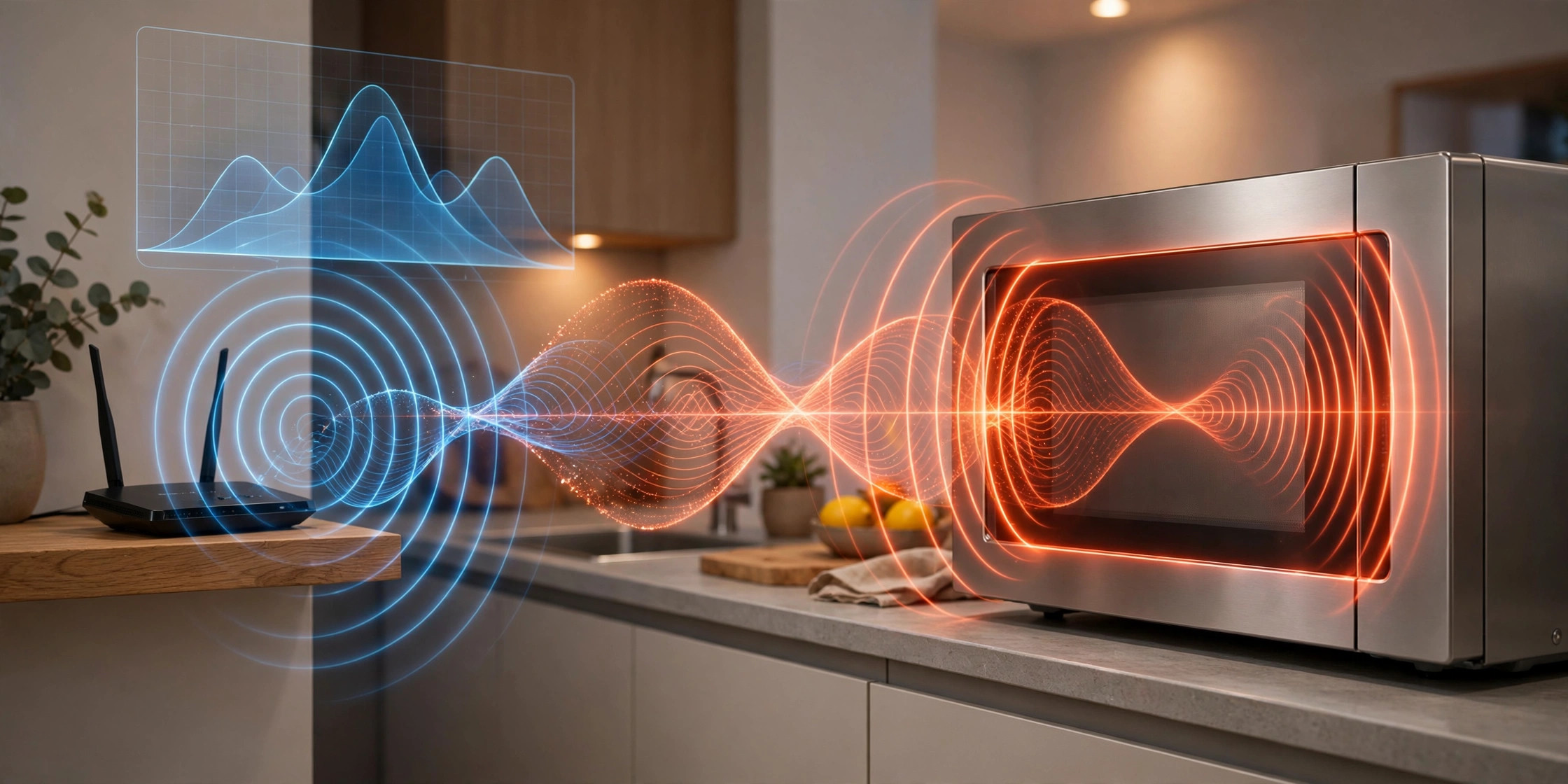
System and Method for Detecting Microwave Oven Radio-Frequency Leakage from Degraded Door Seals Using Ambient WiFi Channel State Information
Your WiFi router already knows your microwave is leaking. A magnetron radiates at 2.45 GHz, inside the 2.4 GHz WiFi band with peak energy on channel 9, and door seals degrade with age while the FDA's recommended annual leakage check is performed almost nowhere. This system samples physical-layer statistics the home's access points already measure (CSI, noise floor, retry counters), attributes interference windows to the oven from the magnetron's duty-cycle envelope, and normalizes by the oven's electrical input power to produce a leakage-per-watt metric that separates door-seal degradation from magnetron aging. Differential measurements across two or more nodes localize the source to the kitchen and reject neighbors' ovens; a 30-day installation baseline plus a guided calibration cook anchor the Seal Degradation Index, with advisory alerts at a threefold rise and action alerts referenced to the 5 mW/cm² lifetime limit of 21 CFR 1030.10 via a calibrated path-loss model. Continuous, zero-added-hardware seal monitoring from infrastructure the home already owns. 11 claims.
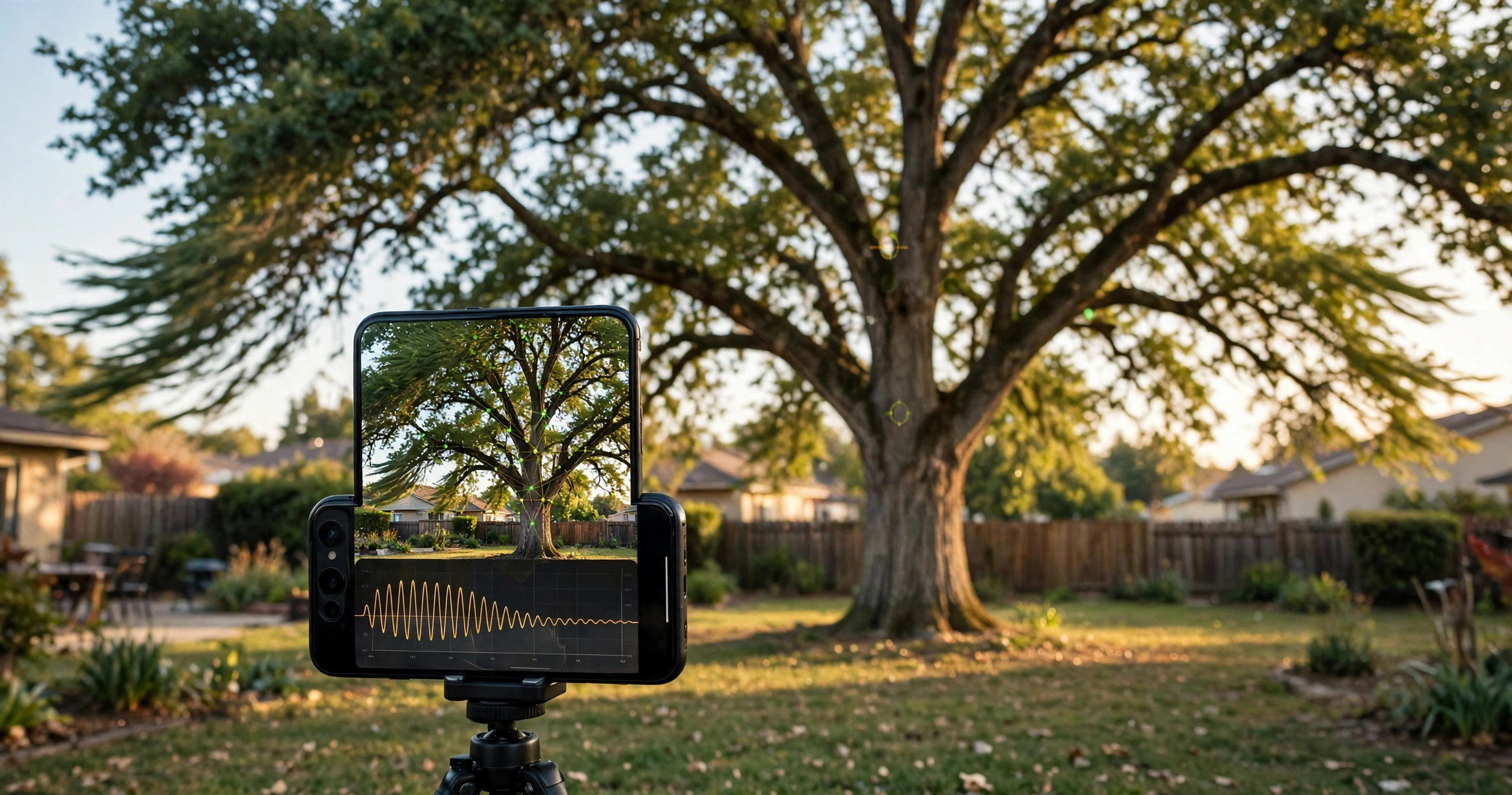
System and Method for Estimating Tree Windthrow Failure Risk from Smartphone Video-Derived Sway Dynamics
Your phone can tell which tree is likely to fall in the next storm. A smartphone on a tripod records high-frame-rate video of a tree in wind, or during a guided pull-and-release free-decay test in calm air, extracting sub-pixel trunk and crown displacement with camera-shake correction from static background features. System identification yields the first-mode natural frequency and damping ratio: a measured frequency 20% below the species-size expectation means roughly 36% of bending stiffness is gone. Local wind fused with video-segmented crown sail area gives the gust overturning moment, and species-specific failure envelopes for stem breakage and uprooting convert measured stiffness into a critical wind speed. The margin to the design-storm gust becomes a failure probability, weighted by target consequence into triage bands: monitor, inspect, mitigate. Seasonal re-measurement catches stiffness drift before visible symptoms, with leaf-state and soil-moisture corrections so spring leaf-out never reads as stiffness gain. Post-storm outcomes recalibrate the envelopes through Bayesian updating, so the system improves with each storm. 11 claims.
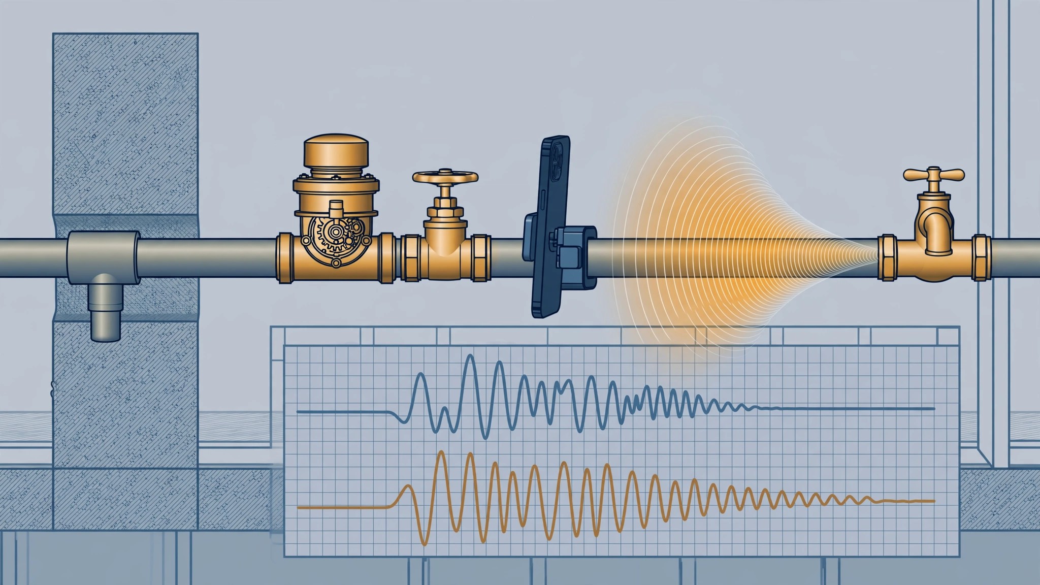
System and Method for Identifying Lead Water Service Lines Using Water-Hammer Transient Analysis with Consumer Mobile Devices and Records Fusion
An estimated 9.2 million American homes are served by lead water service lines, and federal rules require utilities to inventory and replace them, yet identification is still a subjective scratch-and-tap test or thousand-dollar excavation. This system turns the plumbing's own water hammer into the test signal: the user presses a smartphone against the exposed service pipe and closes a faucet abruptly, and the app records the pressure transient's ring-down. Lead's low elastic modulus (about 16 GPa versus 117 for copper and 200 for steel) slows the wave per the Korteweg relation, and its high internal damping kills the ring-down far faster than copper or steel, which ring with metallic sustain. Reflection timing off the curb stop separates the buried service line's signature from interior copper plumbing, and a Bayesian fusion with build-year, utility inventory, and neighborhood priors produces a per-address lead probability score with triage bands: high scores schedule replacement, medium scores get professional inspection, low scores clear the excavation backlog. Aggregated with consent, the scores build block-level lead maps so utilities replace contiguous high-probability blocks together. 11 claims.
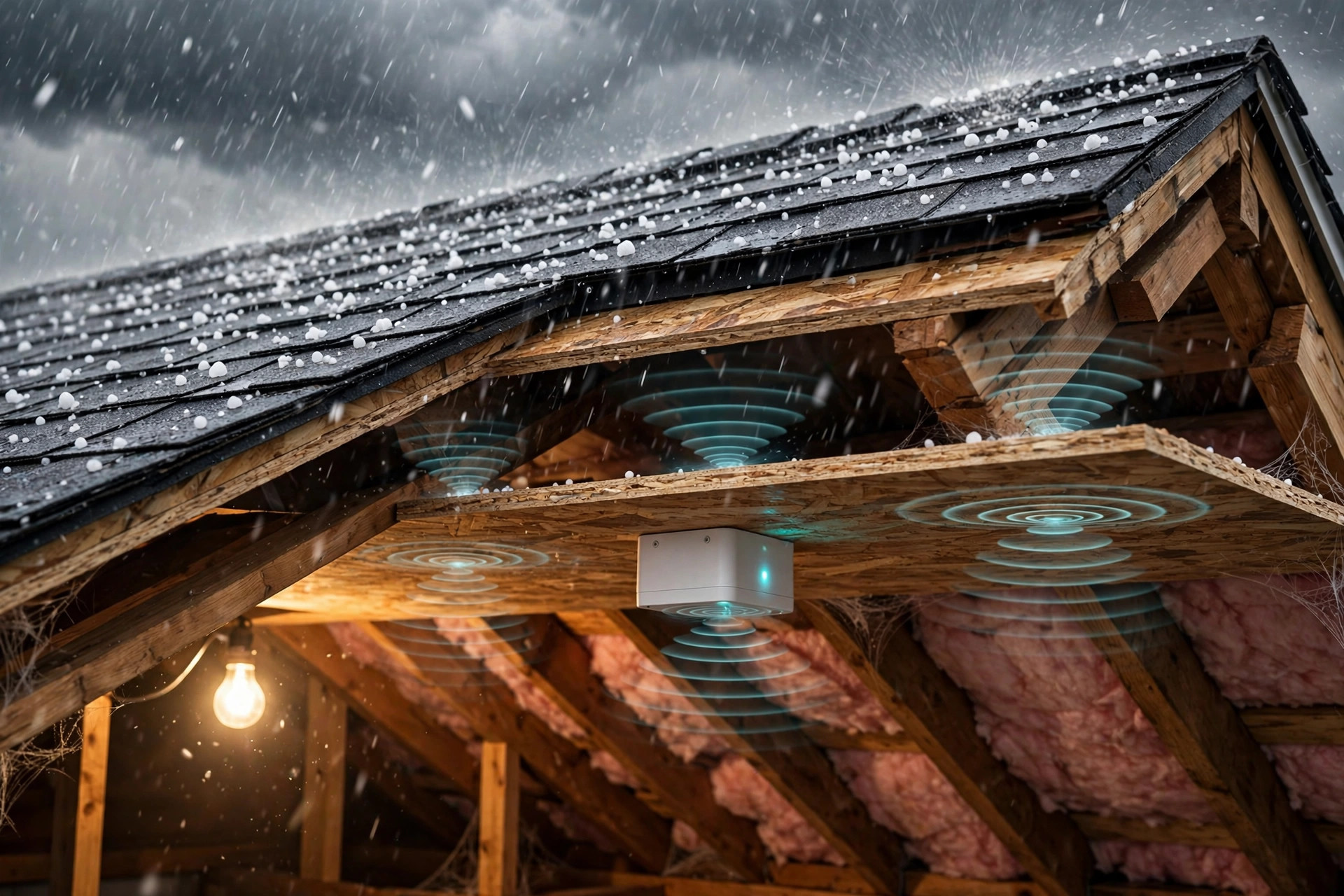
System and Method for Per-Address Hail Damage Severity Assessment of Roofing Assemblies Using Attic-Mounted Acoustic Impact Sensing with Material Fragility Fusion
Hail causes roughly half of the $25 billion in average annual U.S. severe thunderstorm insured losses, yet damage assessment is still a manual roof inspection weeks after the storm, disputed between cosmetic and functional damage. This system mounts acoustic and vibration sensors inside the attic on the underside of the roof deck, measuring each hailstorm as experienced by the actual roof assembly with no exterior work. An edge classifier isolates hailstone impacts from rain, debris, footsteps, and aircraft; per-impact kinetic energies are inverted into a hailstone size distribution via terminal-velocity scaling calibrated by an installation tap test. The distribution is fused with a roof-specific fragility model covering material and UL 2218 class, age-based weathering derate, deck construction, slope, and shingle temperature at impact, since cold asphalt embrittles and fractures at lower energies. The per-storm Roof Damage Severity Score ships within hours with confidence intervals, and a multi-home network produces address-resolution hail swath maps that verify per-property exposure for fraud-resistant claim triage and parametric insurance triggers. 12 claims.
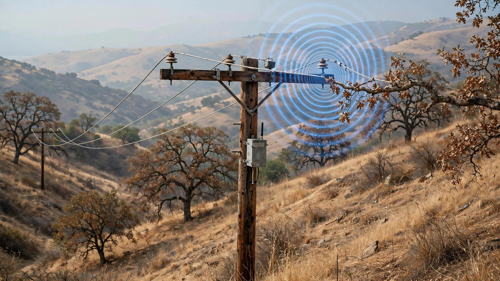
System and Method for Pre-Ignition Detection of Vegetation-Contact Faults on Overhead Distribution Lines Using Pole-Mounted Radio-Frequency Partial Discharge Sensing and Edge Classification
Vegetation touching an energized conductor is a high-impedance fault that draws 1 to 100 amps, below normal load current, so conventional overcurrent protection misses 30 to 50 percent of these events, the fault type most likely to ignite wildfires. Power line equipment has started at least 419 California wildfires since 2000, including the Camp Fire, which killed 85 people after PG&E lines contacted dry vegetation. This system closes the pre-ignition detection gap with passive RF sensor nodes banded to distribution poles, no outage required for installation. Each node listens in the 30 MHz to 1 GHz band for the broadband emissions of partial discharge at the vegetation contact point, where field distortion exceeds the breakdown threshold. An edge classifier distinguishes vegetation-contact discharge from corona, insulator contamination, switching transients, and lightning using the 120 Hz arc re-ignition modulation synchronized to the power line cycle, pulse rise time, spectral centroid, and burst persistence. GPS-disciplined arrival timestamps from adjacent poles feed a time-difference-of-arrival localizer that places the contact within a span to plus or minus 10 meters. A risk fusion module combines the detection with fire weather, fuel moisture, wind, LiDAR clearance records, and feeder loading into a pre-ignition risk score that trips the lateral or blocks reclosing within 5 seconds of contact onset, the window research shows prevents most such fires. At under $120 per node in parts, full coverage of a utility's highest-risk poles costs roughly one-tenth of per-span dedicated line sensors. 10 claims.

System and Method for Tamper-Evident Recording Indication in Camera-Enabled Wearable Devices Using Closed-Loop Optical Feedback and Cryptographic Attestation
Camera glasses live or die by their recording LED: a small white light that is supposed to tell bystanders when capture is happening, and that modders defeat with stickers, paint, desoldering, and dimming hacks. Manufacturer countermeasures sense ambient light at the device surface, which independent testing showed can be fooled by coverings that admit ambient light inward while blocking emission outward. This system closes the loop inside the enclosure instead. A light-pipe tap diverts a fraction of the LED's own emission to an internal photodiode, compared against measured drive current to catch disconnection, dimming, and emitter substitution; a second photodiode measures optical backscatter at the exit aperture to detect external covering; the LED carries a spread-spectrum modulation pattern the loop correlates against to reject injected light. A secure controller hardware-gates the camera sensor's power and clock on loop confirmation, rechecks 10 times per second during recording, and cuts capture within 100 ms of a fault. Every session ends with a signed attestation manifest binding the per-frame indicator timeline to frame hashes as a content-provenance assertion, so upload platforms can verify the indicator was active for every frame. 10 claims.
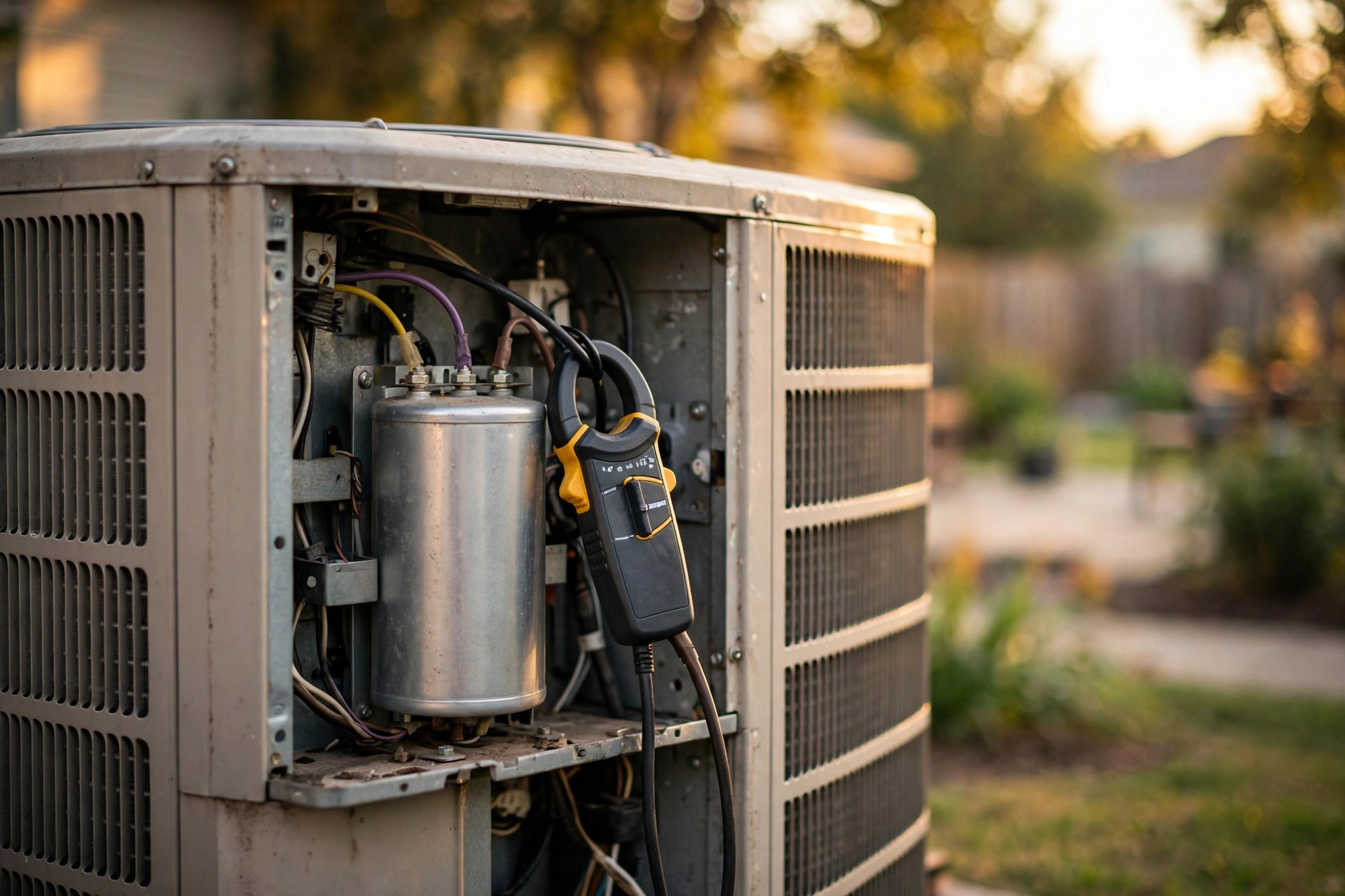
System and Method for Predicting HVAC Run Capacitor Failure Using Compressor Start Transient Electrical Signature Analysis
Run capacitors are the most replaced part in residential air conditioning: a $12 to $15 metallized-film can that phase-shifts the compressor motor's auxiliary winding, with a typical life of 10 to 11 years and an industry replacement rule at 10 percent below rated microfarads. When one fails completely, the compressor hard-starts, hums, trips its thermal overload, and can burn out its windings, and homeowners are routinely quoted $1,800 to $2,500 for a compressor replacement when the real fault is a $160 to $180 capacitor. This system predicts the failure months ahead by capturing the electrical signature of every start. A split-core current transformer and voltage sensor at the condenser disconnect record each contactor closure at kilohertz rates, extracting start duration, inrush envelope decay, voltage sag depth and duration, start-cycle harmonics, failed-start re-attempts, and running current drift. A physics-informed model maps feature drift against a per-unit healthy baseline into estimated remaining capacitance, a confounder discriminator excludes low line voltage, contactor pitting, locked rotor, high head pressure, and backup heat strips, and a seasonally derated exponential fit forecasts the replacement date through planning, scheduling, and urgent tiers. The condenser fan section of a dual-run capacitor is assessed independently from the compressor section. 10 claims.

System and Method for Estimating Automotive Brake Pad Wear and Predicting Brake Service Timing Using In-Cabin Acoustic Analysis and Driving Pattern Fusion
New brake pads carry 10 to 12 millimeters of friction material and replacement is recommended at 3 millimeters, but the only warning most drivers get is the squealer tab: a metal tab that screeches against the rotor once pads thin to 2 to 3 millimeters, leaving little margin before metal-on-metal grinding destroys the rotor. This system turns the smartphone already mounted on the dashboard into a brake wear monitor. It segments braking events from GPS speed and IMU deceleration, then tracks three acoustic channels across hundreds of stops: a stable narrowband tone in the 1 to 7 kHz band whose signal-to-noise ratio grows as the squealer engages, pre-squealer broadband noise in the 200 Hz to 2 kHz band normalized by braking work that rises as pads thin and lose damping, and a grinding signature that triggers an emergency tier. A benign-squeal discriminator separates wear-induced squeal from morning rust, cold-damp, and glazed-pad noise using multi-day persistence and weather gating. Dual-microphone level and phase differences attribute wear to the front or rear axle, and a wear-rate model fuses the acoustic index with cumulative GPS braking work to estimate remaining thickness in millimeters and forecast the date of the 3 mm service threshold. Alerts escalate from planning to scheduling to rotor-damage urgent. 10 claims.
System and Method for Predicting Pothole Formation Using Fleet Vehicle Suspension Telemetry and Freeze-Thaw Cycle Modeling
This system predicts where potholes will form on a road network 7 to 30 days before the pavement surface fails, fusing suspension vibration telemetry from fleet vehicles with freeze-thaw cycle modeling, traffic loading, pavement age, and municipal repair records. Each vehicle's accelerometer stream is band-split at 50 to 100 Hz: high-frequency energy in the 30 to 80 Hz band reveals subsurface raveling and binder stripping weeks before spalling, while a per-vehicle transfer function learned against a known-smooth calibration stretch converts measured chassis motion into true pavement stiffness. Freeze-thaw exposure is gated on surface moisture, because dry freezing does no damage: a nominal cycle count, a moisture-gated count, and a moisture-and-load-gated count are maintained per 50-meter segment. Municipal repair logs provide labeled training data with a label-lag correction that only rewards predictions that beat the crew's own patrols. Segments are scored to a 30-day failure probability, risk-weighted by traffic volume, and issued as seal-and-repair work orders while a crack is still a roughly $50 cold-patch visit. 10 claims.
System and Method for Deepfake Video Liveness Verification via Challenge-Response Remote Photoplethysmography
This system verifies that a participant in a video stream is a live human rather than a deepfake by turning the subject's own cardiovascular physiology into a challenge-response channel. A challenge generator produces a fresh pseudorandom illumination modulation waveform per session from a cryptographically generated seed, emitted toward the subject's face via the viewing screen, a smart light, or an infrared illuminator at a depth near or below the flicker-fusion threshold. A remote photoplethysmography extractor recovers the pulse signal from skin-pixel intensity variations, and a lock-in correlator recovers the correlation between the known challenge and the observed signal, which a generative model cannot reproduce because it has no access to the challenge and no physiological light-skin coupling model. Three independent gates combine: physiological plausibility of the rPPG waveform, multi-region phase coherence across face, neck, and hand regions, and lock-in correlation with the fresh challenge. Verification completes in 8 to 15 seconds and operates entirely on the verifier side. 10 claims.
System and Method for Detecting Thermal Envelope Degradation in Residential Ovens Using Preheat-Time and Duty-Cycle Trending
This system detects degradation of a residential oven's thermal envelope, the door gasket, cavity insulation, and door closure geometry, by trending two signals the oven already produces across cooking cycles: normalized preheat duration to a fixed setpoint and heating-element or burner duty cycle during temperature maintenance. Increased heat loss appears directly as a rising maintain-phase duty cycle at fixed setpoint and as lengthening preheat times. The system records per-cycle metrics, normalizes for setpoint, cooking mode, and starting cavity temperature, excludes cycles containing door openings, and establishes a per-oven baseline during an initial learning period. A thermal loss index computed from metric drift is compared against advisory thresholds, and crossing a threshold produces a maintenance advisory identifying the probable cause before the degradation causes chronic energy waste and uneven cooking. The drift signature is further classified to distinguish envelope loss from heating-element degradation and temperature-sensor drift. Embodiments include integrated control-board logging, cloud analytics for connected ovens, and a non-invasive retrofit using a circuit-level energy monitor. 10 claims.
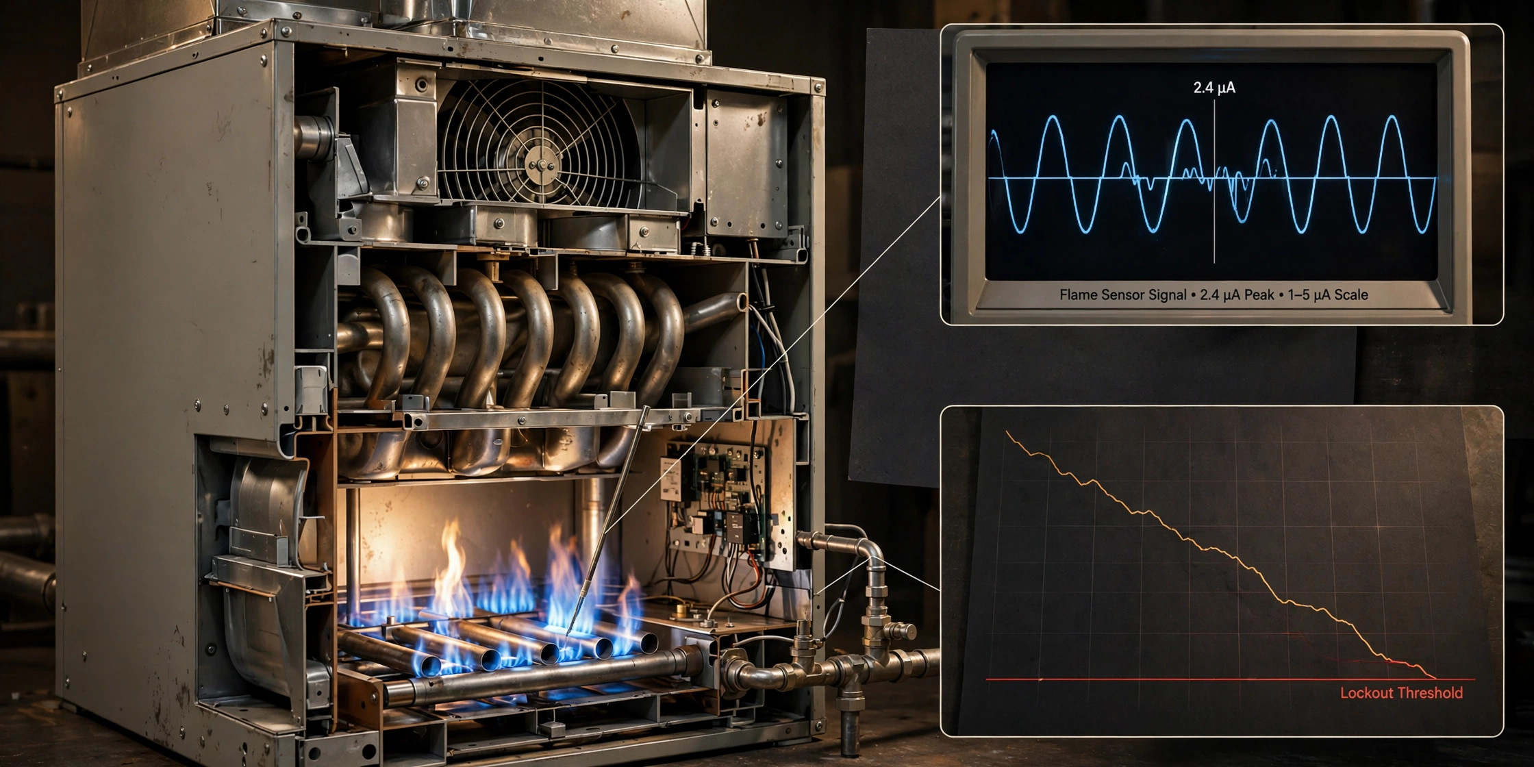
System and Method for Predictive Maintenance of Gas-Fired Furnaces Using Flame Rectification Current Trending and Ignition Failure Signature Analysis
Every gas furnace proves flame through flame rectification: the control board drives roughly 100 VAC onto a metal sensor rod, and the ionized flame conducts 1 to 6 microamps DC back through the burner ground. Carbon and oxide deposits insulate that signal over one to two heating seasons; below about 1 microamp the board cuts the gas valve and, after three to five failed trials, locks out. The homeowner learns this at 6 AM in January and pays $150 to $250 for a cleaning that takes 15 minutes. This system samples the flame current every cycle, builds each furnace's individual baseline over 30 days, trends the decline, and estimates days until failure. The decline shape is classified into failure signatures: gradual decay means rod contamination, an abrupt step drop means a cracked insulator, and noisy intermittent readings mean a degrading ground path that cleaning alone will not fix. Ignition retry counts fuse into the alert priority, a retrofit inline harness adapter installs between the existing sensor wire and the board with no gas-train modification, and fleet aggregation learns model-specific thresholds. 10 claims.
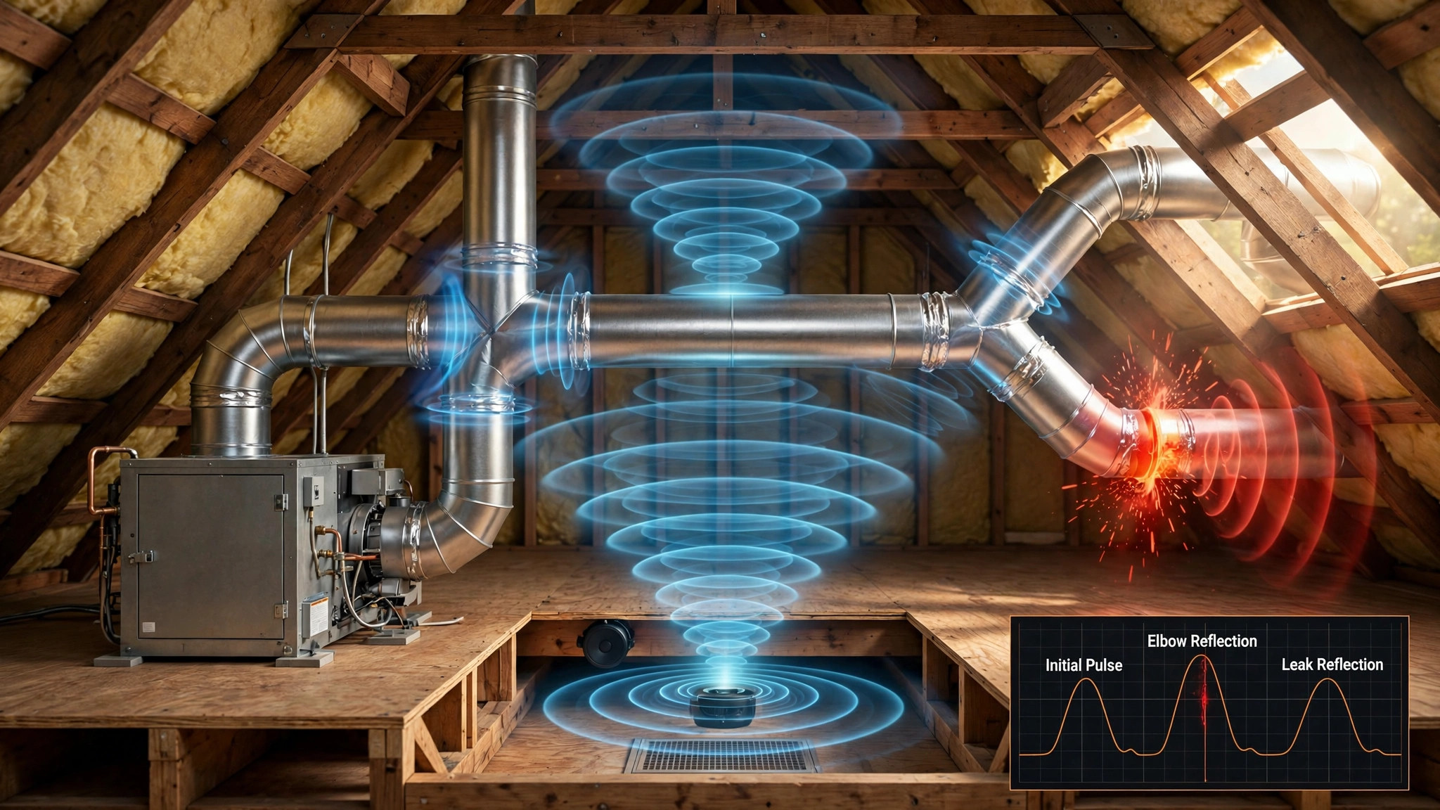
System and Method for Localizing Air Leakage Sites in Residential HVAC Ductwork Using Acoustic Pulse Reflectometry and Machine-Learned Reflection Classification
ENERGY STAR estimates that 20 to 30 percent of the air moving through a typical home's duct system is lost through leaks, holes, and poorly connected ducts, yet the industry's duct leakage test reports only a single aggregate CFM number with no indication of where the leaks are. This system injects a controlled acoustic probe (100 Hz to 12 kHz swept sine or maximum-length sequence) into the ductwork with the HVAC off and records the duct impulse response, in which every elbow, takeoff, damper, and leak reflects part of the pulse. Time-of-flight gives each reflection's distance from the injection point, and a machine-learned classifier trained on a labeled duct mockup separates leakage reflections (holes, gap joints, disconnects) from structural ones using amplitude, spectral centroid, group-delay linearity, and tail decay features. Each leak is sized from its reflection coefficient, converted to estimated CFM loss at operating static pressure, and ranked by annual energy waste, producing a distance-ordered repair report that pairs with a Duct Blaster test and verifies post-sealing improvement. 10 claims.
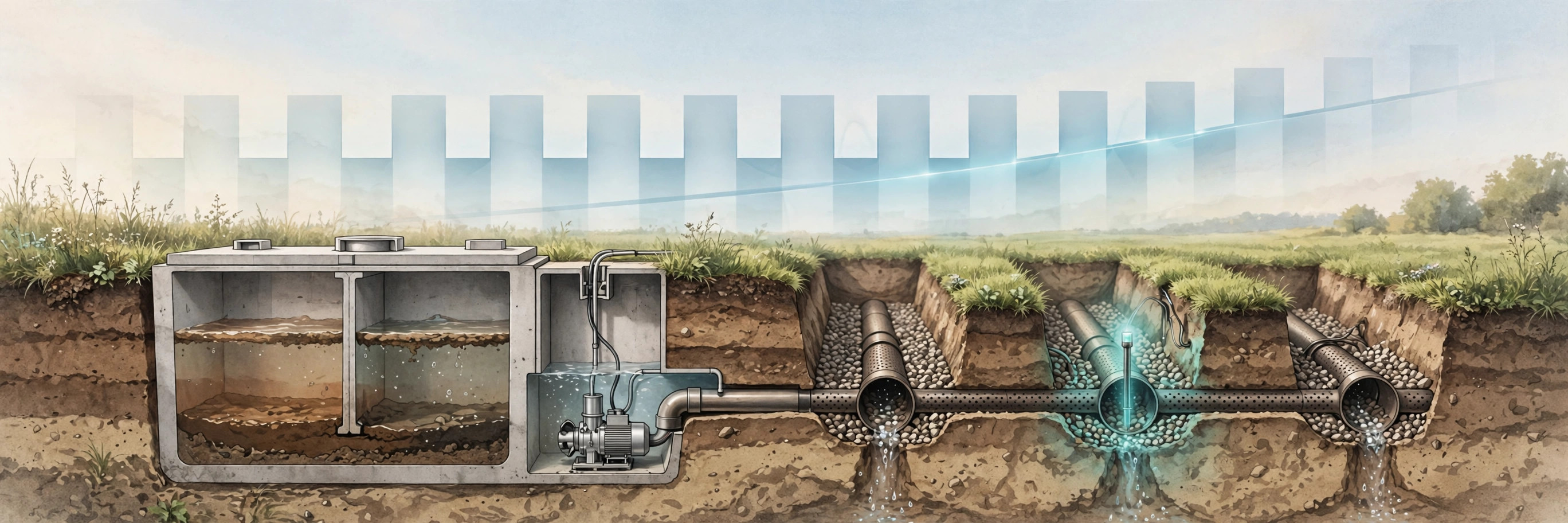
System and Method for Predicting Septic Drain Field Hydraulic Failure Using Effluent Pump Electrical Signature Analysis and Infiltrative Surface Sentinel Fusion
A failed septic drain field costs $5,000 to $20,000 to replace, while the biomat clogging that kills it develops silently over months. This system clamps a current sensor on the effluent pump circuit, no plumbing or wiring changes, and learns each dose's run time, inter-dose interval, and cycle count from the electrical envelope. In demand-dosed systems the dose volume is fixed by float geometry, so when trenches pond, effluent drains back between doses and the inter-dose interval shortens while dose run time stays constant: cycles per day rise at constant household water use, and the dose-frequency-to-usage ratio drifts upward months before any surface symptom. Buried sentinel probes at infiltrative-surface depth confirm with two independent channels: moisture that fails to fall below field capacity between doses, and damped diurnal temperature amplitude from the thermal inertia of saturated soil. A Field Health Index fuses both channels, and a differential-diagnosis engine separates six modes: field hydraulic failure, pump wear, float-switch failure, clogged effluent filter, excessive household loading, and seasonal high-water-table saturation. Alerts escalate from water-use reduction to effluent-screen cleaning (the EPA's recommended first step) to imminent-failure warning, with each alert carrying its evidence. 10 claims.
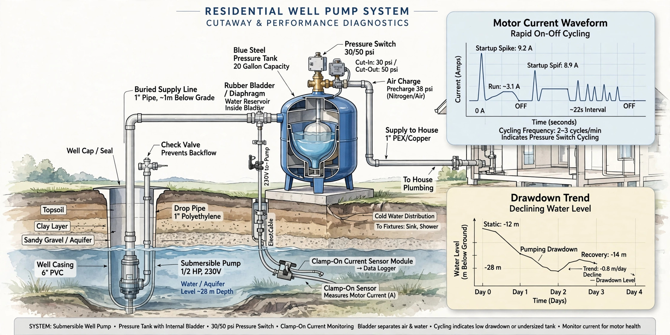
System and Method for Non-Intrusive Detection of Pressure Tank Degradation and Differential Diagnosis of Short-Cycling Faults in Residential Well Pump Systems
A waterlogged pressure tank causes roughly 70% of well pump short cycling, and a pump that should last 15 to 20 years can die in 3 to 5 years when the tank next to it fails, a $1,500 to $4,000 replacement for a $700 to $1,050 tank problem. This system clamps a current sensor on the pump circuit, no plumbing or wiring changes, and learns each cycle's run time, off time, inrush, and running current from the electrical envelope alone. Effective drawdown per cycle is estimated from run time and pump flow, trended against a learned baseline as a Tank Health Index that decays monotonically as the bladder degrades. A differential-diagnosis engine separates six faults from cycle-timing patterns with no pressure sensor: bladder degradation compresses run and off time proportionally, a leak shortens off time only, pump wear extends run time with rising current, low well yield stalls below cut-out, switch chatter makes sub-second micro-cycles, and wrong air charge shows low drawdown from day one. Alerts escalate against the industry one-minute minimum run-time rule, and a 25% weekly step drop flags bladder rupture. 10 claims.
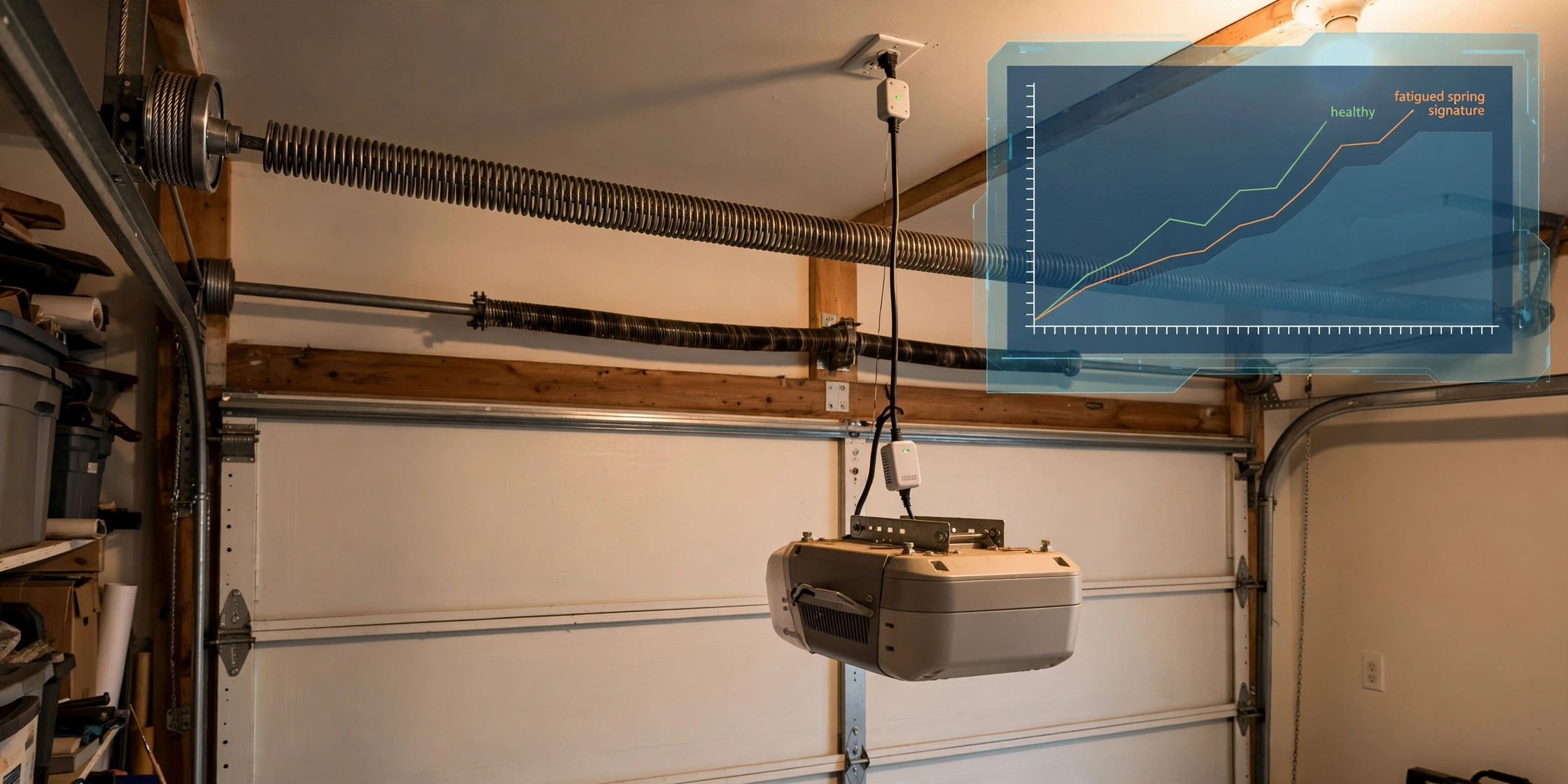
System and Method for Predicting Torsion Spring Failure in Overhead Garage Doors Using Opener Motor Current Signature Analysis and Stroke Dynamics
A standard torsion spring is rated for 10,000 cycles and fails without warning: a loud bang, then a dead-weight door that costs $150 to $450+ to fix professionally. This system plugs a current-sensing module into the opener's ceiling outlet and watches how the motor's work changes cycle by cycle. As the spring fatigues, it counterbalances less of the door's weight, so upstroke current rises, the up/down stroke current asymmetry ratio climbs, strokes lengthen, and the inrush transient grows. The asymmetry ratio is self-normalizing, immune to line-voltage sag, gear wear, and lubrication state. A temperature-compensated Spring Health Index feeds a Weibull fatigue model calibrated to the spring's rated life, projecting remaining cycles and issuing escalating alerts at index thresholds of 0.85, 0.70, and 0.55. A 40% or greater step jump in asymmetry between consecutive cycles marks a fractured spring, triggering an immediate alert and a software lockout of remote operation. 9 claims.
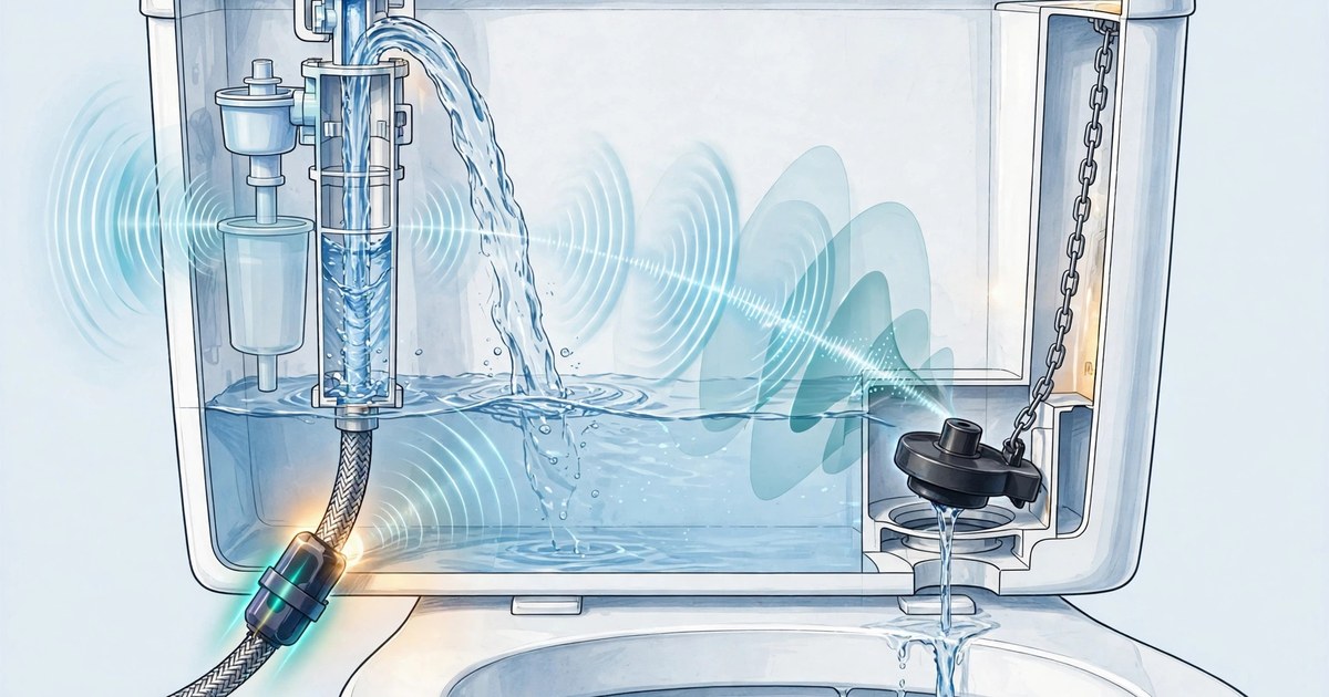
System and Method for Detecting and Quantifying Silent Toilet Flapper Leaks Using Non-Intrusive Acoustic Fill-Event Sensing
The flapper that seals a gravity-flush toilet tank warps and mineralizes over three to seven years, leaking tank water silently into the bowl at rates up to 190 gallons per day. The only observable symptom is the fill valve periodically topping up the tank. This system straps a low-cost acoustic sensor to the supply line or angle-stop valve body and exploits a deterministic physical relation: with the flapper leaking at rate Q and the fill valve's hysteresis band holding volume Vh, the tank level falls at rate Q until the valve trips, repeating with period T = Vh / Q. A train of short top-up fills with near-constant inter-arrival times (CV at or below 0.25), persisting through the nocturnal low-use window, is a signature no human behavior produces. Leak rate is estimated as Vh divided by the median inter-arrival period, with Vh calibrated from observed full-flush refills against the fixture's rated tank volume, then converted to gallons per day and projected water cost with tiered alerts. A differential diagnosis module distinguishes flapper leaks, fill-valve seal failures, and supply-line leaks from the same event stream; an optional motorized shutoff valve and fleet learning of flapper survival curves extend the system toward prevention. 10 claims.

System and Method for Microwave Oven Magnetron Health Prognostics Using Duty-Cycle-Gated Current Signature Analysis
The magnetron in a microwave oven is a vacuum tube that degrades silently over five to ten years: food heats slower, users add time, nobody notices the machine is dying. This system exploits the fact that microwave ovens modulate power by switching the magnetron fully on and off in duty-cycle bursts, treating every burst as a diagnostic experiment. A current waveform monitor at the outlet or panel detects each magnetron-on burst and gates all measurements to the burst interval, extracting the strike delay between relay closure and oscillation onset, the warmup transient time constant as the cathode reaches emitting temperature, the voltage-normalized steady-state anode current, and the line-frequency doubler ripple depth that reveals high-voltage capacitor aging. Because food load confounds every raw measurement, heating events are clustered by power setting and duration and features are trended as cluster-conditional medians, with an optional IEC 60705 water-load calibration anchoring features to absolute watts. A differential diagnosis engine distinguishes six fault modes: cathode depletion, waveguide arcing, doubler capacitor and diode faults, cooling fan degradation, and relay chatter. Waveguide arcing, a fire precursor, triggers an urgent stop-use alert. Fleet learning clusters magnetron platforms and fits Weibull survival models for per-unit remaining-useful-life estimates. 11 claims.

System and Method for Refrigerator Compressor Health Prognostics Using Ambient Smart-Speaker Microphone Arrays with Edge Acoustic Source Separation and Duty-Cycle Fused Differential Fault Diagnosis
The refrigerator compressor is the most acoustically prominent periodic machine in the typical kitchen, yet its failure arrives with almost no warning and costs households hundreds of dollars in spoiled food. This system repurposes the far-field microphone arrays already in smart speakers as prognostics sensors: a matched filter detects compressor on/off transients, an MVDR beamformer isolates the compressor by enrolled azimuth, and on-device feature extraction captures hum harmonic structure, bearing sideband energy ratio, rotational tone stability, and the startup transient envelope. In parallel, compressor duty cycle is normalized against thermostat temperature and acoustically detected door-open events, producing a duty residual that separates thermal load from machine health. A differential diagnosis engine distinguishes six failure modes in the joint feature space: bearing wear (rising sidebands, flat duty residual), refrigerant loss (rising duty residual, falling hum amplitude, flat sidebands), door gasket failure (rising ambient coupling coefficient, unchanged acoustics), evaporator or condenser fan failure (missing blade-pass tonal, persistent hum), defrost system failure (periodic ice-strike transients, irregular duty), and relay short-cycling (aborted startup transients). Raw audio never leaves the device; only baseline-subtracted 128-dimensional feature vectors are optionally shared for federated fleet learning, which clusters compressor platforms across homes and fits Weibull survival models yielding per-unit remaining-useful-life estimates and food-spoilage risk scores. Alerts escalate from watch to schedule-service to urgent food-relocation warnings, with an optional service-dispatch interface carrying the diagnostic code. 12 claims.
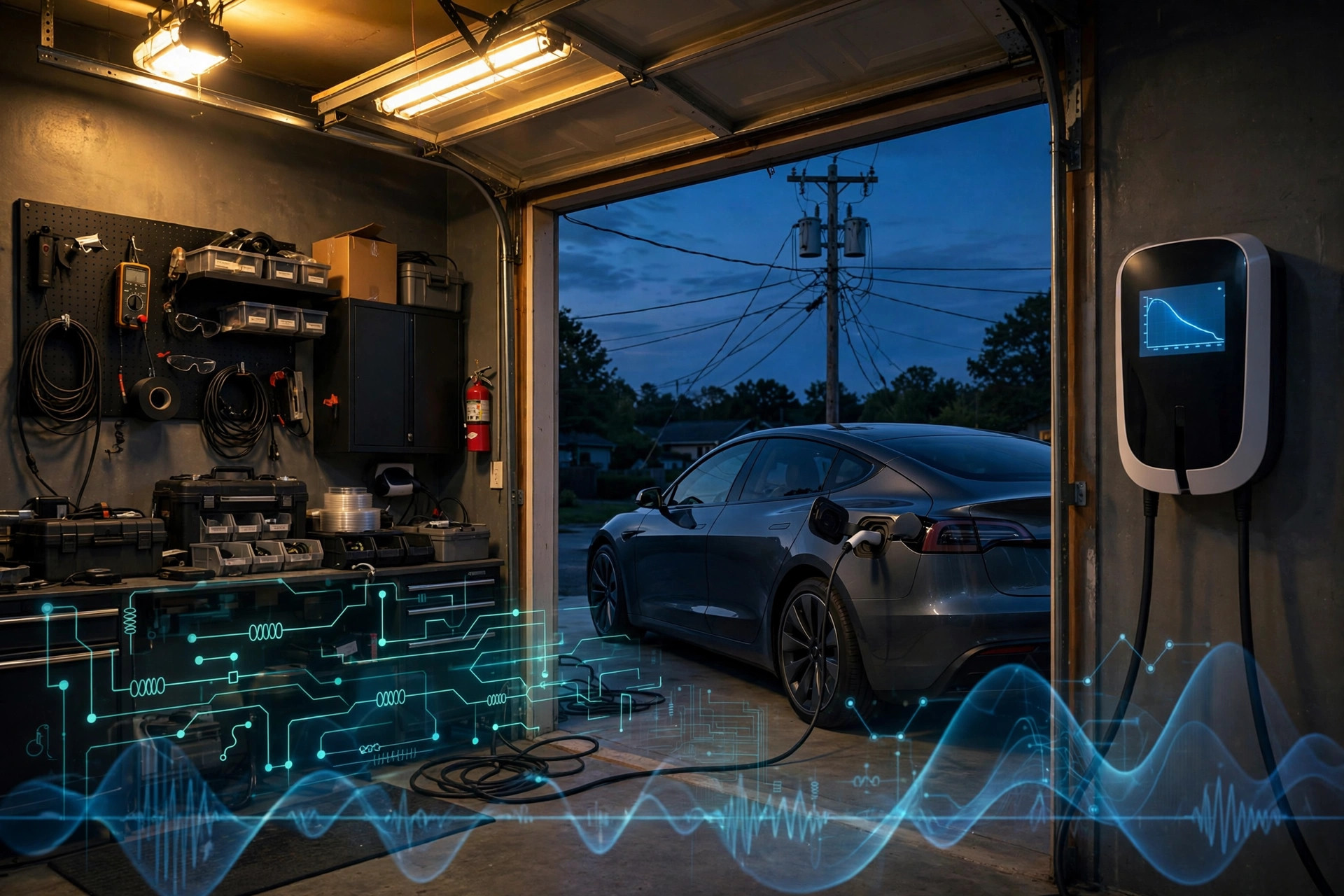
System and Method for Distribution Transformer Loading and Health Estimation Using Electric Vehicle Charging Session Voltage Droop Profiling with Cross-Charger Impedance Tomography
Every Level 2 charging session opens with a commanded 0 to 48 A current ramp, a free calibrated load step nobody is measuring. The voltage droop across that ramp encodes the source impedance upstream of the charger: a 48 A step over a typical 0.05 to 0.3 ohm residential source impedance produces 2.4 to 14 V of droop, far above the 0.1 to 0.5 V metering floor of connected chargers. This system fits V = V0 - Z·I per split-phase leg each session, calibrates out the static service drop over a 30-day commissioning baseline, and fuses reports across chargers on the same transformer with a cross-charger linear model that separates private service drops from the shared transformer impedance. The shared term yields real-time transformer loading as a fraction of nameplate, an IEEE C57.91 thermal model integrates cumulative loss-of-life, EWMA and CUSUM detectors catch winding drift and high-resistance connection steps, and a leg-asymmetry metric flags high-impedance neutrals before steady-state voltage imbalance appears. Periodic ±2 A pilot dither adds frequency-dependent impedance spectroscopy at zero hardware cost. When loading threatens the transformer, chargers coordinate valley-filling derate subject to driver departure times. A measured, crowdsourced answer to the exact asset EPRI calls the weak point of residential EV charging. 12 claims.

System and Method for Tornado Early Warning Using Distributed Smartphone Barometric Infrasound Sensing with Edge-Deployed Vortex Signature Classification and Multi-Device Triangulation
Tornadoes radiate infrasound at 0.5 to 10 Hz detectable 100+ km away, in documented cases 7 to 8 minutes before touchdown, yet warnings still average 8.6 minutes of lead time at 70% false alarm rate. This system turns barometer-equipped smartphones into a zero-hardware-cost tornado array: phones inside NWS watch polygons switch barometers to 25 to 100 Hz surveillance sampling behind a sub-milliwatt band-energy trigger, classify vortex spectra on-device with a tonal-comb detector plus 45k-parameter CNN that rejects HVAC, traffic, and gust fronts, cancel wind buffeting via accelerometer-coherent adaptive filtering, and upload compact spectral event reports. A fusion service clusters coherent detections, localizes the vortex by sub-sample TDOA multilateration, gates alerts against radar azimuthal shear in a 3-tier scheme requiring dual-physics confirmation for public warnings, and pushes projected-path polygons with Abdullah-relation core-size estimates to phones in the damage area. 12 claims.
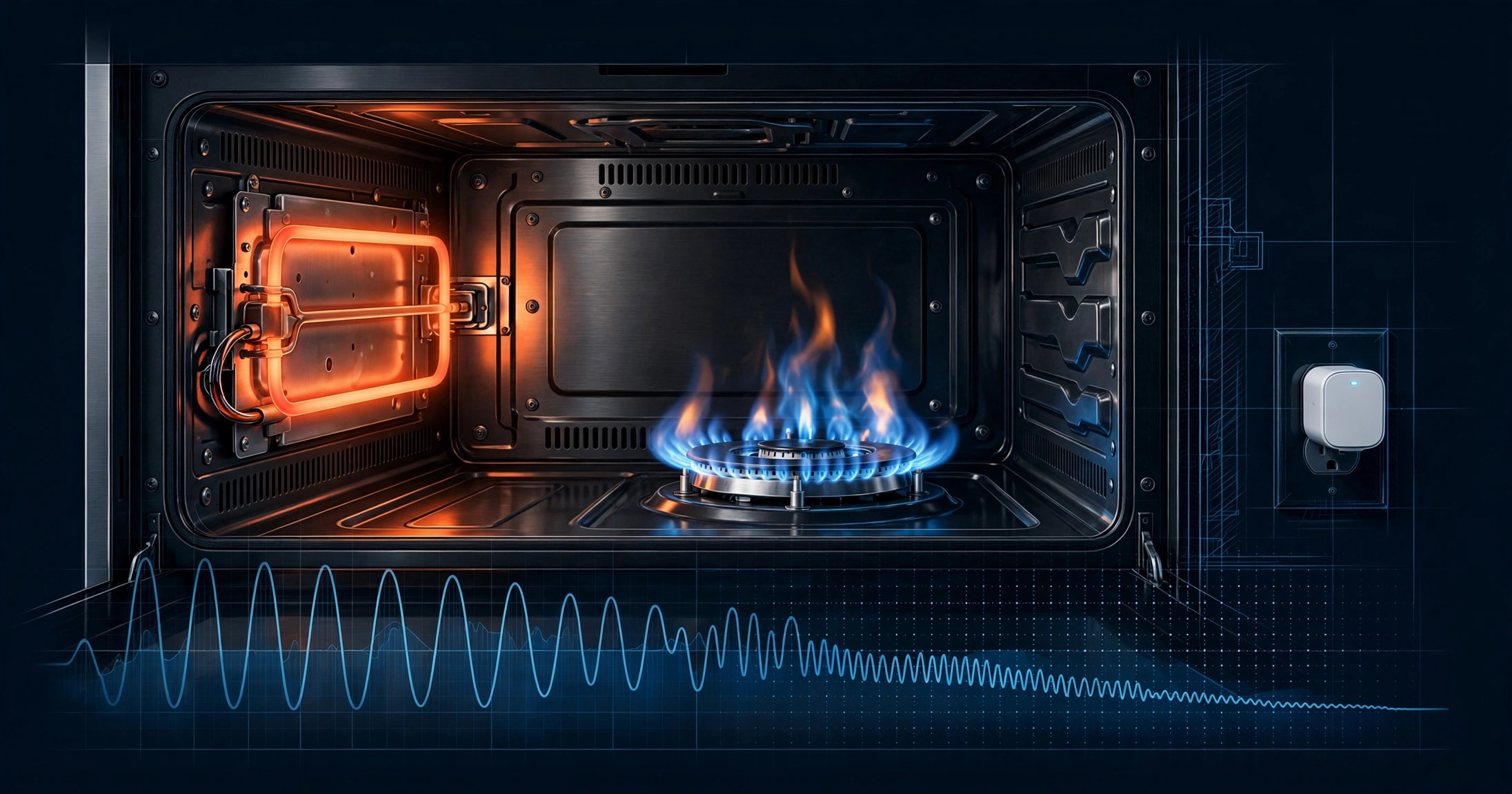
System and Method for Predicting Gas Oven Hot-Surface Igniter Failure and Delayed-Ignition Hazard Using Smart Plug Current Signature Trend Analysis and Acoustic Ignition Transient Classification
The gas oven igniter is the most replaced part in gas ovens and its failure mode is measurable from outside the appliance: a healthy silicon carbide glow bar draws 3.2 to 3.6 A, and the series-wired safety valve needs about 3.0 A to open. As resistance rises with age, current falls; in the 2.8 to 3.0 A marginal band the valve opens intermittently, gas accumulates, and ignition arrives seconds late as a door-rattling whoomp. This system puts a $15 to $25 energy-monitoring smart plug on the range's 120V cord, extracts per-cycle features at 1 Hz (steady-state current, preheat-to-ignition time, 0.1 to 0.3 A valve-open dip, re-strike count, plateau variance), and fits a wear trend forecasting the 3.0 A crossing 2 to 8 weeks out. A relay-triggered 10-second acoustic window on the kitchen smart speaker classifies ignition transients with a sub-200 KB CNN, separating soft normal ignition from delayed-ignition hiss plus 40 to 120 Hz pressure transient, escalating confirmed events to a stop-use hazard tier without continuous audio recording. Differential diagnosis separates igniter wear (declining current) from valve failure (healthy current, no dip, no ignition sound) and control-board failure (no current rise), directing the correct $15 to $40 part instead of a misdiagnosed $150+ service call. 11 claims.
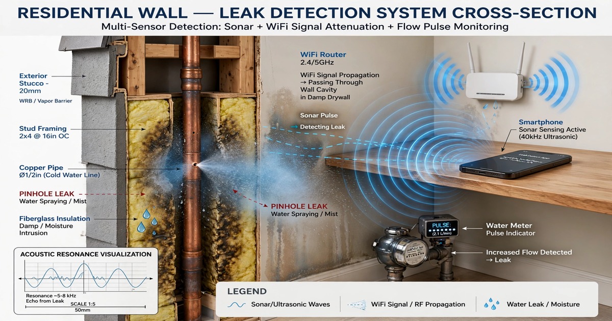
System and Method for Non-Invasive In-Wall Plumbing Leak Detection and Localization Using Smartphone Active Acoustic Sonar, Water Meter Pressure Transient Analysis, and WiFi Channel State Information Humidity Proxy
Hidden in-wall leaks drive 13% of US homeowner claims at $11,098 average and $13.2B annual cost, with pinhole leaks 0.02 to 0.5 GPM below 0.5 GPM threshold of Flo/Phyn detectors. This three-modality fusion uses only existing infrastructure: smartphone active sonar 18-22 kHz LFM chirp 80 ms 8 reps with matched filter impulse response resolving pipe at 8-12 cm behind drywall and leak reflection 6-12 dB above baseline, leak hiss flatness 0.42-0.68 vs 0.12-0.32 ambient, pipe hoop resonance Q 14-22 intact to 8.5-13 leaking and f0 downshift 2.1-4.8% from micro-droplet mass loading, water meter pulse train zero-fraction less than 0.35 for 3 days and diurnal median estimator 0.02 GPM threshold 0.81 recall at 0.15 FP/year on 412 homes Pecan Street plus magnetometer 100 Hz detecting 12-45 microtesla transients CV 0.12-0.28 periodic vs 0.65-1.4 bursty, pressure ripple 0.8-3.2 Hz vortex shedding 8-14 dB, WiFi CSI 56 subcarriers 2.4 GHz 114 at 5 GHz attenuation 2.1 dB dry to 7.8-11.2 dB wet at 2.4 GHz and 4.3 to 13-18 dB at 5 GHz from permittivity 2.6-2.9 to 6.5-9.2, KS greater than 0.28 for greater than 40% subcarriers, phase variance 0.08-0.14 dry to 0.22-0.41 wet, tomography y=A*x+n Tikhonov lambda 0.4 localizing 0.8-1.6 m or synthetic aperture 0.6-0.9 m moving 1.2 m at 0.15 m/s, Bayesian fusion w0 -1.2 w_sonar 1.35 w_meter 1.18 w_wifi 0.82 threshold 0.72 AUC 0.91 three-modality vs 0.84 sonar 0.79 meter 0.71 WiFi alone on 94 homes 67 leaks, localization median 0.42 m 90th 0.87 m guiding 40 cm cut $180-320 vs $600-1200 exploratory, lead time 23 days mean 14-90 range mean savings $1,100, BOM $0 baseline to $12 reader. 13 claims.
System and Method for Predictive Residential Water Heater Tank Failure and Sacrificial Anode Rod Depletion Monitoring Using Galvanic Current Sensing, Water Conductivity Compensation, and Vibro-Acoustic Tank Wall Resonance Shift Analysis with On-Device Prognostic Modeling
Residential water heaters see 10.5M annual replacements in the US, 68-74% from corrosion after anode depletion. Manual anode inspection is performed in less than 7% of homes. This retrofit system measures galvanic current 0.05-6.0 mA via Hall-effect clamp on bonding conductor with 5 microampere resolution, compensates for conductivity 80-1200 uS/cm via drain-valve TDS probe using I_norm = I_meas*(300/sigma)^0.62 correction reducing chemistry variance 41% to 9%, tracks tank shell flexural resonance shift from 1240 Hz new to 980-1080 Hz flooded and downshift 12-18% for 40% thinning with Q factor 18-24 new to 9-14 thinned, classifies anode type Mg vs Al via temperature coefficient, fuses streams via LightGBM 48-tree regressor MAE 8.7% mass remaining on 387 weigh events across 42 heaters and Weibull survival model predicting days to leak MAE 18.4 days within 90-day window, four-tier Health Index 0-100 with 7-day persistence filter less than 0.10 false positives per heater-year, mean lead time 41 days, BOM $23 at 5k enabling $79-129 retail, payback single avoided failure $1,200-$4,800. 13 claims.
System and Method for Continuous Residential Sewer Lateral Root Intrusion and Grease Accumulation Monitoring Using Smart Toilet Flush Acoustic Emission Spectral Analysis and Drainage Hydrograph Temporal Modeling with Predictive Backup Risk Scoring
Residential sewer backups cost $3k-$25k per event, with 50% of sanitary overflows originating in private laterals per EPA. Current detection is reactive: camera inspection only after slow drain or gurgling, missing 70-80% of partial blockages. This system clamps to the toilet drain tailpiece with a piezoelectric contact mic (20 Hz-10 kHz) and optional ultrasonic water level sensor, capturing 18 s per flush across 10-20 daily flushes. On-device ESP32-S3 extracts 38 features: Phase 2 duration, Phase 3 exponential decay tau (1.8 s clean to 6.0 s at 60% occluded), 13 MFCCs, spectral attenuation ratio discriminating fibrous roots (<0.35) from smooth FOG (0.55-0.82), reflection correlation at 20-80 ms localizing obstruction ±0.8 m, turbulence kurtosis >4.5 for roots vs 2.8-3.5 for grease, and gurgle count. LightGBM (64 trees, 18 KB) classifies clean/root/FOG/scale/mixed at 84.3% accuracy (AUC 0.93 clean vs blockage) on 4,820 labeled flushes from 87 homes with NASSCO PACP ground truth. Bayesian progression tracker with seasonal sinusoid for Apr-Oct root growth predicts backup 23.4 days mean lead time, 80% flagged ≥14 days advance, false positive 0.08/year. Sewer Health Index 0-100 with four action tiers enables preventive $150-$350 cleaning vs emergency remediation. BOM under $17, battery 14-18 months. 13 claims.
System and Method for Continuous Non-Invasive Core Body Temperature Estimation and Exertional Heat Stroke Risk Prediction Using Smart Glasses Temple Thermal Flux Sensing, Periocular Photoplethysmography Perfusion Index, and Environmental Heat Load Fusion with On-Device Personalized Thermoregulatory Modeling
Exertional heat stroke kills 600 to 800 people annually in the US with incidence rising 23 percent over the past decade, and is the third leading cause of death in high school athletes. Existing core temperature requires rectal probes or 45 to 70 dollar single-use ingestible pills with 24 to 36 hour transit. This system exploits smart glasses temple contact with the superficial temporal artery territory, combining dual heat flux sensors measuring thermal flow without active heating, periocular PPG for perfusion index and thermoregulatory vasodilation proxy with 3.2x higher SNR than wrist during exercise, IMU for metabolic heat production via activity classification, and ambient temperature and humidity for wet-bulb globe temperature. A two-node personalized thermoregulatory model with four subject-specific parameters learned over 7 to 14 days via Bayesian optimization against oral thermometer ground truth achieves 0.31 degree MAE at rest and 0.38 degree during exercise. A 1.8M parameter dilated temporal convolutional network trained on 1,247 heat stress events predicts core temperature greater than 40 degrees 12 to 25 minutes in advance at 0.91 AUC, enabling graded interventions from subtle haptic hydration prompts to 85 dB emergency alarms with automatic contact offers. 15 claims.
System and Method for Cooperative Pedestrian Crossing Intent Prediction and Vehicle Collision Risk Mitigation Using Smart Glasses Eye Gaze, Head Orientation, and Gait Kinematics with Vehicle-to-Everything Broadcast and On-Device Transformer Inference
Pedestrian fatalities hit 7,522 in 2022, a 40-year high, with 75 percent at non-intersection locations where drivers do not expect crossing. Vehicle AEB detects pedestrians already in the roadway with 0.6 to 0.9 seconds of warning, insufficient at urban speeds when the pedestrian steps from behind a parked SUV at 2 meters. This system inverts sensing: smart glasses with inward eye cameras (120 Hz), 6-axis IMU, and outward scene camera continuously estimate gaze scanning toward traffic lanes, head yaw toward oncoming traffic, and gait deceleration preparatory to curb departure. A 4.2M parameter temporal transformer fuses these into crossing probability scored every 100 ms, with per-user personalization over 2 to 4 weeks. At p greater than 0.75, glasses broadcast a Pedestrian Safety Message via C-V2X PC5 sidelink (5.9 GHz, 20 dBm, 300 m range) with position, heading, confidence, and time-to-curb. Receiving vehicles pre-charge brakes and initiate gentle 0.2g deceleration 1.5 seconds earlier than vision-only detection, replacing 0.8g emergency braking. All inference runs on-device with no raw eye images leaving the glasses. 15 claims.
System and Method for Continuous Non-Invasive Blood Pressure Estimation Using Dual-Site Photoplethysmography Pulse Transit Time Measurement Across Spatially Separated Smart Glasses and Smartwatch Wearables with Personalized Arterial Model Calibration
Hypertension affects 1.28 billion adults, but blood pressure remains the most poorly monitored major vital sign because cuffs are intermittent and uncomfortable. This system measures true pulse transit time between a PPG sensor in smart glasses (superficial temporal artery) and a smartwatch (radial artery), exploiting the 70-90 cm arterial path between naturally worn devices to estimate beat-to-beat blood pressure without ECG electrodes, chest sensors, or inflatable cuffs. BLE connection-event timestamps provide sub-millisecond cross-device synchronization. A multi-fiducial extraction algorithm (foot, maximum slope, systolic peak) with weighted averaging yields PTT resolution of 0.3 ms at 1 kHz sampling. A personalized ridge regression model calibrated against periodic oscillometric cuff measurements maps ln(PTT) to systolic and diastolic BP, achieving AAMI/ANSI/ISO 81060-2 accuracy (mean error ≤ ±5 mmHg, SD ≤ 8 mmHg). On-device activity classification adjusts measurement strategy across stationary, walking, running, and sleep states. Postural correction uses dual-device accelerometers to compute hydrostatic pressure differences between sensor sites. All processing runs on-device with no raw PPG data leaving the wearables. 14 claims.
System and Method for Residential Electrical Arc Fault Detection and Localization Using Distributed WiFi Access Point Radio Frequency Spectral Anomaly Monitoring with On-Device Machine Learning Classification
Arc faults cause 28,000 house fires a year. AFCIs protect individual circuits but miss faults in unprotected wiring and cover less than 15% of pre-2014 housing stock. This system repurposes the spectral scan engines already built into consumer WiFi chipsets (QCA9880, MT7915, BCM4389) — hardware FFT modules designed for DFS radar detection that output 128-bin power spectral density measurements across 2.4 GHz and 5 GHz bands. Electrical arcing generates broadband RF emissions spanning both WiFi bands with a distinctive 120 Hz amplitude envelope from AC line-cycle re-ignition that no common interference source (microwave ovens, Bluetooth, ZigBee) replicates. A 120 KB INT8 CNN on the AP's application processor classifies events using spectral flatness, 120 Hz modulation index, cross-band correlation, and amplitude kurtosis. When 3+ mesh APs detect the same event, received signal strength differentials localize the fault to ~2-3 meters (room-level). The whole system deploys as a firmware update to mesh WiFi hardware already installed in 90+ million U.S. households. 13 claims.
System and Method for Software-Defined Detection of Speed-Measurement Radar Signals Using Commodity Radio Hardware with Block Downconversion, Spectral Fingerprinting, and GPS-Correlated False Positive Suppression
Commercial radar detectors are $350-$800 black boxes with fixed-function ASICs that cannot adapt to new radar waveforms. This system replaces the entire analog front-end with a $32 RTL-SDR dongle paired with external block downconverters ($35-80 each) that translate police radar bands (X: 10.525 GHz, K: 24.150 GHz, Ka: 33.4-36.0 GHz) to intermediate frequencies the SDR can digitize. A software pipeline running on a smartphone or Raspberry Pi performs 4096-point FFTs at 586 Hz, classifies detected signals against a crowd-sourced radar gun signature database (Stalker DSR 34.7 GHz, Kustom Golden Eagle 35.5 GHz, MPH Bee III 33.8 GHz) using a random forest classifier, and suppresses false positives through GPS-correlated location learning that auto-marks recurring K-band door openers and traffic sensors after three independent confirmations. Detects 67 ms POP mode bursts that conventional detectors miss. Reference implementation at github.com/rayhe/sdr-radar-detector (MIT). 15 claims.
Real-Time Indoor Volatile Organic Compound Source Localization and Emission Rate Estimation Using Distributed Metal Oxide Semiconductor Gas Sensor Arrays with Computational Fluid Dynamics-Informed Inverse Dispersion Modeling
Consumer air quality monitors tell you VOC levels are high but not which object is poisoning your air. This system deploys 4-12 low-cost MOS gas sensor nodes (SGP41/BME688, $18-28 BOM each) throughout a room, samples concentration gradients at 0.5 Hz, and feeds them to a physics-informed neural network running on an edge hub. The PINN embeds the advection-diffusion PDE as a loss constraint and inverts the spatiotemporal concentration field against a pre-computed RANS velocity field (calibrated in situ using HVAC fan cycling as a controlled perturbation) to pinpoint VOC source location (±0.5 m) and emission rate (±15%) in under 2 seconds. Multi-source decomposition via iterative subtraction resolves simultaneous emitters. A random forest classifier tags each source by temporal emission profile (chronic off-gassing vs. episodic cleaning vs. cooking). Cumulative exposure dose by occupancy zone triggers per-source ventilation recommendations through Matter smart home integration. Federated learning across installations improves localization without transmitting raw data. 12 claims.
Predictive Residential Clothes Dryer Exhaust Vent Lint Accumulation and Blockage Detection Using Exhaust Air Temperature, Humidity, and Ultrasonic Airflow Velocity Multi-Sensor Fusion with Predictive Fire Risk Scoring
Dryer vent fires cause 2,900 house fires a year because nobody monitors the duct between the dryer and the wall. This system clips to the exterior vent terminus without tools. Inside: matched NTC thermistor pairs measure exhaust-to-ambient ΔT (declines 0.5-1.5°C/month as lint insulates the duct), capacitive humidity sensors compute Humidity Transport Efficiency (the ratio of moisture removed to cycle time, degraded by blockage forcing humid air back through the drum seal), and a pair of 40 kHz piezoelectric transducers perform ultrasonic transit-time airflow measurement. Lint produces a non-monotonic velocity signature — initial increase from constant volume through smaller area, then decline as the blower stalls — that no other failure mode replicates. An on-device LightGBM ensemble (22 KB INT8 on ESP32-C3) fuses an 18-feature vector into estimated blockage percentage, days-to-critical, and a Fire Risk Index (0-100). Self-calibrates over first three cycles. Matter-over-Thread integration inhibits dryer operation via smart plug at FRI ≥ 76. BOM under $24; CR123A battery life 18+ months.
Automated Detection and Population Estimation of Rodent Infestations Using Distributed Ultrasonic MEMS Microphone Arrays with On-Device ML Classification of Species-Specific Vocalization, Gnawing, and Locomotion Signatures
Rodents talk at 22-80 kHz. Humans can't hear them; this system can. Deploys ultrasonic MEMS microphones (flat to 80 kHz, $2.80 each) at wall penetrations and ceiling plenums. An on-device TCN classifier (94 KB INT8) distinguishes mouse courtship songs (65-80 kHz), rat alarm calls (22 kHz), rat positive calls (50 kHz), species-specific locomotion gaits (stride frequency encodes body mass), and gnawing signatures (substrate material identifiable from spectral envelope). Individual voiceprint embeddings extracted from USV bouts feed a Bayesian Jolly-Seber capture-recapture model that estimates colony size without physical trapping — producing statements like "12-18 mice, 95% CI, 3-5 new individuals this week." Spatial heatmaps identify entry points, runways, and nest locations. A Rodent Activity Index (0-100) normalizes across structure size and season. BOM under $28/node; 18-month battery life via two-stage power gating. Integrates with pest management provider APIs and FDA 21 CFR 117 compliance reporting.
Real-Time Indoor Airborne Allergen Classification and Personalized Exposure Risk Scoring Using Multi-Angle Light Scattering Particulate Sensors with On-Device Morphological Inference
Current consumer PM sensors count particles by size but cannot tell pollen from dust. This system adds three more scattering angles (side 90°, backscatter 170°, cross-polarized) to a 650 nm laser in a 42×38×25 mm measurement chamber. Four Si photodiodes capture angle-dependent Mie scattering signatures that encode particle morphology: pollen surface sculpturing produces high depolarization ratios (δ = 0.15-0.45), mold spores show moderate δ with distinctive ellipsoidal pulse shapes, dust mite fecal pellets scatter almost entirely forward (g > 0.85), and pet dander's layered keratin drives δ above 0.25. A 62 KB INT8 CNN on an ESP32-S3 classifies particles at 100 Hz into 8 allergen categories. Personal sensitivity profiles weight each class into an Allergen Load Index (cumulative μg/m³·hours), and smart-home integration triggers HVAC filter alerts, air purifier boost, and window-close warnings via MQTT/Matter. Federated learning improves the model across deployed nodes without sharing health data. BOM under $45.
Predictive Residential Garage Door Opener Mechanical Wear and Torsion Spring Fatigue Monitoring Using Motor Current Signature Analysis with Automated Safety Reversal Verification
Turns a $12 smart plug into a garage door health monitor. Samples motor current at 10 kHz during every open/close cycle, extracts a 47-feature vector spanning time-domain envelope parameters, frequency-domain harmonics, and cycle-phase segmentation. A gradient-boosted classifier maps features to five degradation modes: torsion spring fatigue (the leading cause of catastrophic garage door failure, storing 25-40 ft-lbs of energy released in under 50 ms at fracture), drive chain/belt elongation, rail lubrication depletion, roller bearing wear, and track misalignment. Spring remaining-useful-life estimator fuses mechanical degradation state with cycle count, environmental stress (thermal cycling amplitude, humidity inference from motor winding resistance), and manufacturer S-N fatigue curves. Independently verifies UL 325 safety reversal force compliance by analyzing motor stall-current transients during closing cycles, replacing the monthly manual 2×4 obstruction test. No modification to existing garage door opener required.
Automated Detection of Residential Chimney and Furnace Flue Obstruction Using Acoustic Resonance Spectroscopy and Differential Pressure Sensing with Predictive Carbon Monoxide Risk Scoring and Smart HVAC Integration
Turns a $25 sensor module into a continuous chimney health monitor. Emits 50-4,000 Hz chirp signals into the flue, computes the impulse response via matched-filter cross-correlation, and extracts resonant mode frequencies, Q-factors, and reflection coefficients. Classifies four obstruction types by their acoustic signatures: creosote accumulation (progressive higher-order mode compression), animal nests (abrupt single-height impedance discontinuity), structural liner collapse (broadband attenuation with double-reflection), and ice/snow caps (temperature-correlated termination reflection). Differential pressure sensor monitors draft against a stack-effect model. Random forest classifier fuses 24 acoustic and pressure features to estimate cross-sectional area reduction, localize blockage height, and compute a predictive CO risk score. When risk exceeds threshold, sends Matter/Thread command to inhibit combustion appliance ignition. Battery-powered (CR123A, 3+ year life), self-calibrating, no manual flue dimension entry required.
Continuous Residential Electrical Grounding Integrity Monitoring Using Distributed Smart Outlet Neutral-to-Ground Voltage Spectral Analysis with Fault Localization and Progressive Corrosion Detection
Turns every smart outlet into a grounding system health monitor. Measures neutral-to-ground voltage waveforms and performs on-device FFT spectral decomposition to classify five fault types by their harmonic signatures: oxide-film corrosion at screw terminals (odd harmonics from symmetric nonlinear tunneling resistance), ground rod electrochemical corrosion (even harmonics from asymmetric half-cell), loose backstab connections (broadband micro-arcing spectra), bootleg grounds (anomalous near-zero N-G at single outlet), and normal baseline. Graph-based network model across 3-8 distributed outlets infers circuit topology from N-G voltage correlations and localizes faults to specific wiring segments using Kirchhoff's voltage law constraints. Tracks corrosion progression over 90-day windows with environmental compensation. Firmware-only update to existing ESP32-based smart outlets, no additional hardware. 8 KB flash, 4 KB RAM.
Automated Municipal Street Tree Structural Risk Assessment Using Fleet Vehicle Mounted LiDAR Point Cloud Analysis with Structural Defect Classification and Wind-Load Failure Probability Estimation
Mounts solid-state LiDAR on garbage trucks, buses, and street sweepers that already traverse every city block on weekly cadences. Edge compute segments individual trees from mobile point clouds at centimeter resolution and classifies eight categories of biomechanical defect: co-dominant stems, asymmetric crowns, trunk cavities, root plate heave, deadwood, lean, lion-tailing, and sail-area-to-caliper mismatch. A finite element wind-load model computes species-specific failure probability at 10/25/50-year gust return periods using decay-reduced cross-sections from the LiDAR geometry. Temporal differencing across repeated passes detects progressive lean at <2 cm/month. Prioritizes the 3-5% of the urban forest responsible for 80% of failure incidents, replacing cyclical block-by-block arborist walks with targeted risk registers. $0.005/tree/scan versus $0.50-$2.00 for manual Level 1 assessment.
Automated Residential Pest Species Identification and Infestation Density Estimation Using Smart Doorbell and Security Camera Near-Infrared Phototactic Capture Imagery with Edge-Deployed Entomological Classification
Turns every smart doorbell into a pest early-warning system. Nocturnal insects are already attracted to doorbell camera NIR illuminators every night — the system classifies them to genus level using edge-deployed MobileNetV3 on the camera's existing processor. Covers 12 pest families (termite swarmers, carpenter ant alates, mosquitoes, bark beetles, pantry moths) across 47 target classes. Bayesian change-point detection separates infestation onset from seasonal peaks. Neighborhood-scale spatial correlation across participating cameras localizes breeding hotspots and maps dispersal corridors. No additional hardware, no traps, no consumables. 78% family-level accuracy on INT8-quantized model using 2.5 MB flash and 180 mW additional power.
Continuous Ambient Ionizing Radiation Field Mapping Using Smartphone CMOS Dark Current Analysis with Crowdsourced Spatial Aggregation and Anomaly Detection
Turns every smartphone into a radiation sensor. CMOS image sensors detect ionizing radiation via dark frame pixel events; a neural network classifier distinguishes gamma-ray absorption, Compton scattering, and cosmic ray muon tracks from thermal noise. Crowdsources measurements across millions of phones using privacy-preserving geohash bucketing and Gaussian process interpolation to create block-level radiation maps 1,000x denser than EPA RadNet. Statistical anomaly detection against a learned natural background model triggers real-time public health alerts for radiological incidents within 15 minutes.
Passive Vehicle Occupant Count Estimation Using Roadside Millimeter-Wave Radar Micro-Doppler Analysis with CNN Classification for Automated HOV Lane Enforcement
Counts vehicle occupants from outside the vehicle using 77 GHz FMCW radar micro-Doppler analysis of involuntary physiological motion: respiration (0.15-0.4 Hz thoracic displacement), cardiac chest wall vibration (1-1.7 Hz), and postural micro-sway (0.05-0.3 Hz). A roadside radar unit illuminates passing vehicles, extracts micro-Doppler spectrograms after bulk motion compensation and clutter cancellation, and classifies occupant count (1/2/3/4+) via a CNN with vehicle-type-specific batch normalization. Works through tinted windows, at night, in rain/fog. Captures no images, no license plates, no PII. Output: integer count + confidence score. Privacy-preserving HOV enforcement at 92% binary accuracy, $800-1,200 per unit.
Non-Intrusive Cognitive Decline Screening via Smart Home Appliance Interaction Pattern Analysis with Behavioral Drift Detection
Screens for early cognitive decline by analyzing existing smart home device interaction logs — smart speakers, thermostats, lighting, locks, kitchen appliances — with no additional hardware or wearable compliance. An edge-deployed temporal transformer learns each occupant's baseline interaction grammar across 47 behavioral features mapped to 7 cognitive domains (executive function, episodic memory, temporal orientation, attention, semantic memory, visuospatial navigation, processing speed). CUSUM/EWMA drift detection on per-domain Behavioral Regularity Index scores identifies sustained multi-domain decline, filtering transient confounds (illness, visitors, device changes). All processing on-device; no data leaves the home.
Continuous Residential Foundation Drainage Monitoring via Sump Pump Current Signature Analysis with Precipitation-Correlated Infiltration Estimation
Monitors sump pump health and foundation drainage performance using a $15 smart plug's current waveform analysis. Extracts 28-element motor signature features (inrush profile, harmonic spectrum, check valve reverse-flow detection) per pump cycle, classifies degradation via a temporal convolutional network, and correlates activation patterns with real-time precipitation data to estimate drainage conductance coefficients. Detects drain tile collapse, root intrusion, check valve leakage, discharge pipe freezing, and predicts pump failure months in advance via Weibull survival modeling. No sensors in the sump pit, no plumbing modification, no contact with water.
Residential Cooking Fire Risk Prediction Using Multi-Sensor Fusion of Stove Current Signature, Range Hood Particulate Density, and Ambient Acoustic Anomaly Detection
Predicts cooking fires 2–5 minutes before ignition by fusing three non-visual sensing modalities: smart plug current analysis (cooking method classification, surface temperature estimation via heating element impedance drift, unattended cooking detection), range hood particulate/VOC sensing (PM2.5 exponential ramp detection, humidity-to-particulate ratio for steam/smoke disambiguation), and MEMS microphone acoustic classification (sizzle-to-carbonization transition, oil decomposition popping). A temporal convolutional network on an ESP32-S3 outputs a 0–100 risk score with graduated alerts from notification through automatic stove shutoff. Retrofit BOM under $90, no camera, no cloud dependency.
OpenStenoMask: Dual-MEMS Microphone Stenomask with Exponential Horn Acoustics, Spectral Subtraction Noise Cancellation, and Solar-Assisted Power
A fully open-source stenomask design using dual Knowles MEMS microphones (voice + noise reference), RP2040 DSP with spectral subtraction noise cancellation, exponential horn acoustic coupling for 6–12 dB gain, BLE 5.0 wireless audio, and optional thin-film solar charging. CERN-OHL-S v2 hardware + GPL-3.0 firmware. Complete BOM under $45.
Per-Animal Enteric Methane Emission Attribution Using Proximal Open-Path Laser Absorption Spectroscopy at Livestock Watering Stations with RFID-Gated Gaussian Plume Inversion
Deploys tunable diode laser absorption spectroscopy sensors at livestock watering stations to measure path-integrated methane concentrations in the breath plumes of identified animals. UHF RFID ear tags attribute each measurement to individual cattle, while Gaussian plume inversion with concurrent wind data deconvolves multi-animal scenarios. Bayesian sequential updating across 5–7 watering visits converges per-animal emission factors within ±15%, enabling precision feed optimization, genetic selection for low-emitting phenotypes, auditable carbon credit verification under Verra VM0042, and early digestive health screening.
Passive Residential Foundation Deformation Monitoring Using Differential GNSS Carrier-Phase Measurements from Rooftop Solar Microinverter Telemetry Arrays
Embeds low-cost multi-constellation GNSS receivers into rooftop solar microinverters and computes carrier-phase differential positioning between receivers on the same roof to detect sub-millimeter foundation settlement, differential tilt, lateral translation, and seasonal heave cycles. Exploits the existing installed base of 5.2 million U.S. solar homes as a distributed geodetic monitoring network. A neighborhood deformation graph with inter-roof baselines distinguishes per-building anomalies from regional subsidence. Alert severity classification delivers actionable structural engineering recommendations through existing solar monitoring apps.
Predictive Vehicle Occupant Injury Mitigation Using Pre-Crash Wearable Biometric Data Fusion with Vehicle Dynamics for Individualized Adaptive Restraint System Optimization
Fuses real-time wearable biometric data (heart rate, HRV, muscle tension via bioelectrical impedance, body composition, upper-body posture from wrist IMU) with vehicle pre-crash severity prediction through a sub-40 ms neural network inference pipeline to compute individualized restraint deployment parameters — airbag pressure, vent timing, pretensioner force profiles, headrest displacement — optimized for the specific occupant's physiology, age-related fragility, pregnancy status, and bracing state. Includes UWB-based in-cabin occupant localization, BLE 5.3 connection subrating for latency-adaptive data link, and federated cross-manufacturer model training with differential privacy.
Real-Time Vehicle Trajectory Anomaly Detection and Behavioral Threat Scoring Using Distributed License Plate Reader Networks with Spatiotemporal Graph Neural Network Analysis
Reconstructs multi-hop vehicle trajectories from sparse LPR camera reads on a residential road graph and applies a spatiotemporal graph neural network — combining a Graph Attention Network spatial encoder, Transformer temporal encoder, and VAE anomaly scorer — to detect casing-associated behavioral patterns: repeated circuits, dead-end probing, dwell-time anomalies, temporal outliers, and cross-session escalation. A federated learning protocol with differential privacy enables multi-neighborhood collaborative training without sharing raw plate data.
Predictive Urban Tree Root Infrastructure Conflict Detection Using Fleet-Mounted Ground-Penetrating Radar and Physics-Informed Neural Network Root Growth Modeling
Mounts compact dual-frequency GPR antenna arrays on municipal fleet vehicles (refuse trucks, street sweepers) that repeatedly traverse street corridors on fixed schedules. An automated root detection pipeline identifies woody roots exceeding 15 mm diameter from hyperbolic radar reflections, and a temporal differencing module measures root tip advance rates across sequential scans separated by weeks to months. A physics-informed neural network trained on validated root water uptake, mechanical deflection, and allometric growth models projects each root system's 3D growth trajectory 2 to 10 years forward. Predicted root envelopes are intersected with GIS-registered utility maps and hardscape layers to generate conflict probability scores for each tree-infrastructure pair, enabling proactive root pruning, barrier installation, or species replacement ranked by expected damage cost and ROI.
Continuous Detection of Subterranean Termite Activity in Residential Structures Using Distributed Piezoelectric Contact Microphones with Edge-Deployed Acoustic Emission Classification
A permanently installed network of low-cost piezoelectric contact microphones bonded to structural wood members captures structure-borne acoustic emissions at 192 kHz. An on-device 1D-CNN classifier distinguishes termite feeding (mandible scraping, 1-8 kHz), soldier alarm signals (head-banging impulses at 5-25 Hz), and gallery construction (substrate rasping, 3-15 kHz) from rodent activity, thermal expansion, and household noise. Multi-sensor signal attenuation analysis localizes colony centroid within the structural graph and a progression tracker monitors weekly expansion of the active detection zone. Severity-classified alerts enable professional intervention weeks to months before visible damage manifests.
Continuous Sub-Centimeter Ground Deformation Monitoring Using Distributed Residential Security Camera Photogrammetric Networks with Persistent Feature Point Tracking, Self-Calibrating Atmospheric Refraction Correction, and Graph Neural Network Strain Field Interpolation
Repurposes rigidly-mounted residential security cameras as a persistent photogrammetric sensor network for detecting sub-centimeter ground surface deformation across neighborhoods. Edge-deployed persistent feature trackers maintain libraries of ground-anchored reference points (utility poles, fire hydrants, manhole covers, curbs) and measure their apparent pixel displacement over weeks to years. A self-calibrating atmospheric refraction correction module exploits differential displacement between ground-level and elevated features to separate true deformation from thermally-induced apparent motion. Network-wide bundle adjustment jointly estimates camera mount drift, atmospheric parameters, and ground displacement vectors. A graph neural network interpolates sparse displacement observations into continuous strain-rate tensor fields, classifying anomalies into geohazard categories: sinkhole precursors, landslide creep, groundwater compaction, expansive soil cycles, and construction-induced settlement.
Real-Time Urban Wildlife Corridor Mapping Using Distributed Residential Security Camera Networks with Federated Edge Species Classification and Spatio-Temporal Movement Pattern Reconstruction
Repurposes the installed base of residential security cameras as a distributed wildlife monitoring network. On-device species classifiers identify urban wildlife from motion-triggered video without transmitting raw imagery. A central aggregation service reconstructs animal movement trajectories across the camera graph using silhouette morphometric re-identification and minimum-cost flow algorithms. Generates spatio-temporal corridor maps decomposed by species, time-of-day, and season. A graph neural network predicts human-wildlife conflict zones from corridor flow patterns, attractant proximity, and environmental variables. Enables coordinated pest management via rodent hotspot identification, source-sink population dynamics modeling, and quantitative treatment efficacy measurement.
Predictive Residential Soil Nutrient Management Using In-Ground Electrochemical Microsensor Arrays and Weather-Correlated Machine Learning Uptake Models
Consumer-grade in-ground sensor probes with ion-selective electrode arrays continuously measure nitrate, ammonium, potassium, and phosphate at three soil depths. A weather-correlated ML model predicts nutrient depletion trajectories 7-14 days forward by integrating species-specific uptake curves, forecast precipitation-driven leaching, temperature-dependent denitrification, and microbial mineralization rates. Generates product-specific fertilizer recommendations with optimized timing to minimize runoff. Smart irrigation integration enables automated fertigation. Reduces residential nitrogen runoff 35-60% versus calendar-based programs.
Noise-Robust Speech Comprehension Using Smart Glasses Egocentric Lip-Reading and Audio-Visual Fusion with On-Device Transformer Inference
Fuses egocentric camera lip-reading with microphone audio on smart glasses through a joint audio-visual transformer with SNR-adaptive modality gating. A learned gating network dynamically reweights visual and auditory streams as noise increases — shifting from audio-dominant in quiet to lip-reading-dominant below 0 dB SNR. Gaze-directed speaker selection handles multi-party conversations. The entire pipeline runs on-device at under 120 ms latency with no video transmitted externally, enabling real-time captioning across 23 languages.
Real-Time Wildfire Smoke Plume Height Estimation and Trajectory Prediction Using Spatially Distributed Rooftop Solar Panel Irradiance Anomaly Correlation and Atmospheric Transport Model Data Assimilation
Treats the geographic network of rooftop solar PV installations as a passive irradiance sensor array. When smoke passes between sun and panels, the spatiotemporal pattern of power output drops across thousands of installations reveals the plume's ground shadow boundary. Solar geometry triangulation estimates plume altitude from shadow displacement. Aerosol optical depth derived from irradiance reduction magnitude feeds an ensemble Kalman filter assimilation into a Lagrangian transport model for trajectory forecasting — all from existing inverter telemetry, no new hardware.
Passive Structural Health Monitoring of Wooden Utility Poles Using Ambient Vibration Response Analysis and Edge-Deployed Temporal Convolutional Networks
Permanently installed IoT accelerometer nodes on wooden utility poles continuously analyze ambient vibrations from wind, traffic, and conductor motion to detect internal decay, insect damage, and woodpecker excavation damage. Edge-deployed temporal convolutional networks extract environmentally compensated modal parameters, classify damage types, and estimate remaining useful life — replacing 10-year manual inspection cycles with continuous risk-based monitoring at $3/pole-year.
Continuous Non-Invasive Hydration Assessment Using Wearable Multi-Wavelength Photoplethysmography and Bioelectric Impedance Sensor Fusion
A wearable system fusing multi-wavelength PPG (525/660/940 nm) with tetrapolar bioelectric impedance spectroscopy (5 kHz–1 MHz) for continuous hydration estimation. Cole-Cole model fitting separates intracellular from extracellular water compartments, enabling differentiation of isotonic versus hypertonic dehydration. An on-device temporal attention transformer with hybrid on-device/cloud personalization produces a continuous Hydration Index calibrated against serum osmolality.
Real-Time Wildfire Perimeter Estimation Using Spatiotemporal Correlation of Power Quality Anomalies Across Advanced Metering Infrastructure
A system that tracks wildfire perimeter location and advance rate by correlating spatiotemporal patterns of power quality degradation (voltage sag, harmonic distortion, transient bursts) across a utility's existing smart meter network. Per-meter autoencoders detect anomalies; spatial clustering and wavefront fitting estimate fire advance velocity; alpha-shape algorithms generate georeferenced perimeter polygons at 1-5 minute intervals—orders of magnitude faster than satellite thermal detection.
Continuous Building Envelope Air Leakage Estimation Using Differential Barometric Pressure Spectral Analysis from Consumer IoT Devices
A system using distributed consumer barometric sensors in smartphones, smart thermostats, and weather stations to estimate building envelope air leakage rates under natural wind loading. Computes spectral transfer functions between outdoor wind pressure and indoor pressure fluctuations, then applies CNN regression to estimate ACH50 without blower door testing.
Request for Proposal: Thermally Enhanced Ice Cream Penetration Utensil
Seeking manufacturing partners for a premium consumer utensil combining CNC-machined Grade 2 titanium, embedded copper-water micro heat pipe, and CVD diamond thin film coating. Initial prototype run of 50–100 units, scaling to 10K units. Target retail: $49.99. Target weight: 22g. Target BOM at 10K units: <$25.
Thermally Enhanced Ice Cream Penetration Utensil with Embedded Micro Heat Pipe and CVD Diamond Contact Edge
A high-performance ice cream utensil combining a Grade 2 titanium spork body, embedded micro heat pipe (3 mm diameter, 140 mm length, water working fluid) for hand-to-tip thermal transfer, and CVD diamond thin film on the leading tine edges. Achieves simultaneous mechanical penetration and thermal melting of hard-packed ice cream at -18°C with less than 5 N of applied force.
System and Method for VLM-Guided Closed-Loop Plant-Based Opioid-Agonist Micro-Delivery for Productivity-Linked Reward Conditioning
A wearable transdermal pump system delivering micro-doses of mitragynine and 7-hydroxymitragynine controlled by a vision-language model that confirms the user is engaged in goal-specified deep intellectual work, creating a closed-loop Pavlovian conditioning system that associates euphoric reward with productive cognitive activity.
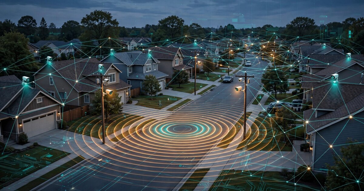
System and Method for Distributed Acoustic Gunshot Localization and Ballistic Trajectory Reconstruction Using Heterogeneous Consumer Security Camera Microphone Networks with Edge-Deployed Deep Learning
A system repurposing existing consumer security camera microphones as a distributed acoustic sensor network for gunshot detection. Edge-deployed CNNs classify impulsive events on-device without transmitting raw audio. TDOA multilateration across GPS-synchronized cameras localizes shooter position to 3–8 m. Muzzle blast and supersonic shockwave separation enables ballistic trajectory reconstruction and caliber estimation. Multi-path acoustic correction using 3D LiDAR building geometry and federated self-calibration via ambient acoustic events of opportunity eliminate the need for dedicated sensor hardware at $0 per square mile versus $65K–$90K for ShotSpotter.

System and Method for Early Detection of Incipient Lithium-Ion Battery Thermal Runaway in Consumer Environments Using Volatile Organic Compound Emission Signature Analysis from Distributed Metal-Oxide Semiconductor Gas Sensor Arrays with Edge-Deployed Anomaly Detection
A system deploying low-cost ($8–15) multi-element MOX gas sensor nodes near battery charging and storage areas. Arrays of 3–5 metal-oxide elements (SnO₂, WO₃, ZnO, In₂O₃, TiO₂) generate orthogonal VOC fingerprints that distinguish lithium-ion electrolyte decomposition products (DMC, EMC, DEC, ethylene) from household background gases. An edge-deployed autoencoder learns location-specific ambient baselines and flags anomalous VOC signatures at cell temperatures of 60–80°C, providing 5–45 minutes of advance warning before the 130–180°C separator collapse that initiates catastrophic thermal runaway.
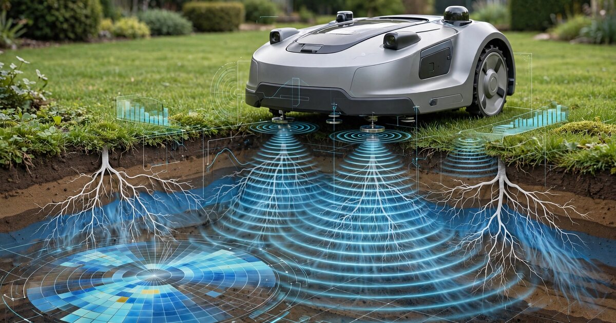
System and Method for Continuous Soil Moisture Profiling and Root Zone Health Assessment Using Autonomous Robotic Mower-Integrated Multi-Frequency Impedance Spectroscopy with Geostatistical Spatial Inference
A system integrating multi-frequency electrical impedance spectroscopy electrodes into autonomous robotic lawn mowers, exploiting RTK-GNSS positioning for precise geolocation of each measurement. Impedance spectra spanning 100 Hz to 1 MHz decompose into volumetric soil moisture, salinity, and root biomass density via dielectric relaxation models. Regression kriging interpolates 20,000-100,000 georeferenced spectra per mowing cycle into sub-meter resolution soil property maps. Temporal change-detection neural networks identify irrigation faults, grub damage, fungal disease onset, drainage failure, and compaction before visible symptoms appear.
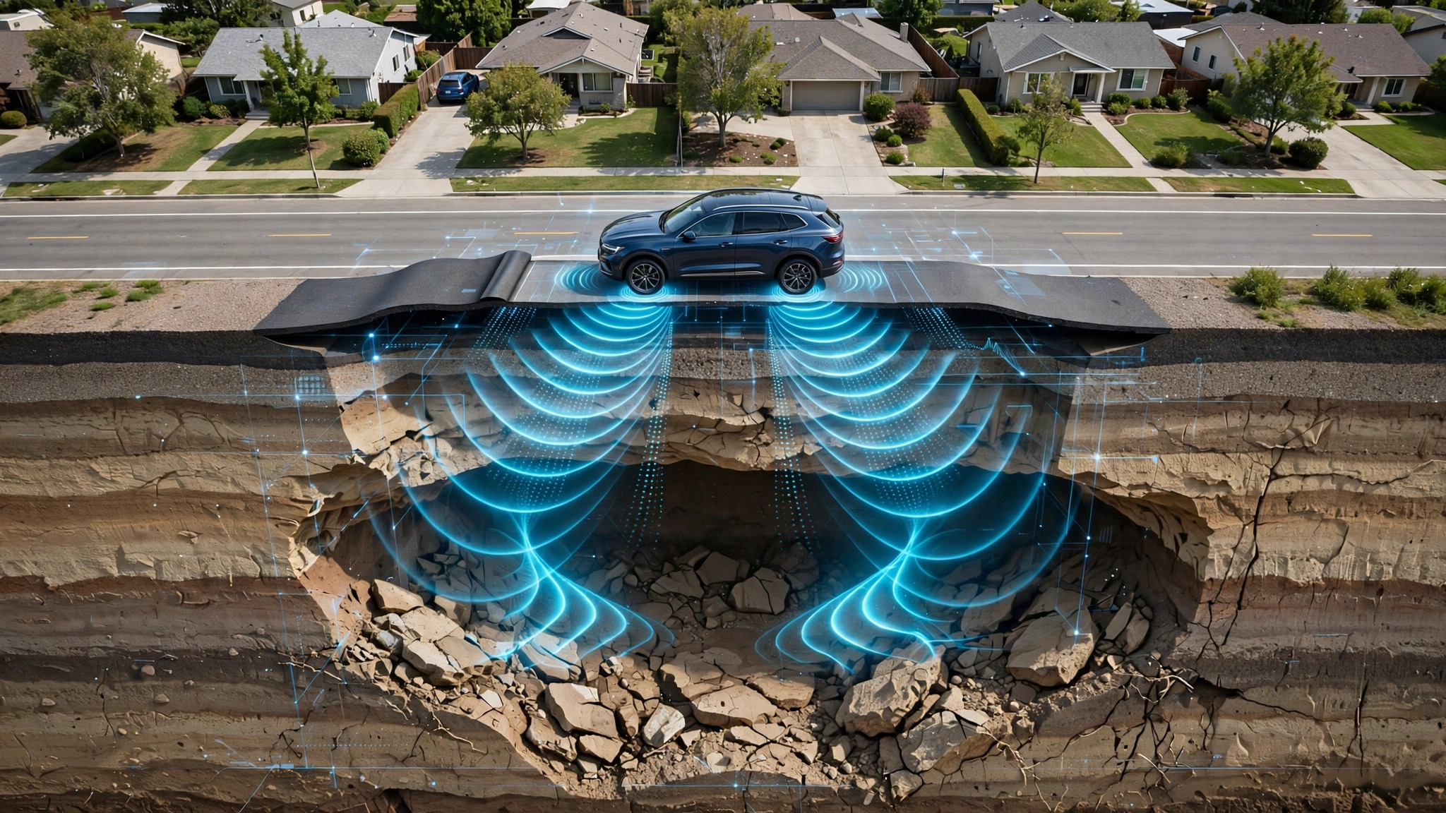
System and Method for Predictive Sinkhole Detection and Progressive Road Subsidence Monitoring Using Crowdsourced Vehicle Suspension Displacement Telemetry and Temporal Surface Deformation Analysis
A system aggregating factory-equipped vehicle suspension displacement telemetry from consumer vehicles with electronically controlled suspension to detect progressive road subsidence. Temporal differencing of GPS-correlated surface profiles across fleet traversals, combined with physics-informed ML classification of six geotechnical failure modes, produces probabilistic time-to-collapse estimates enabling preemptive intervention before catastrophic sinkhole events.
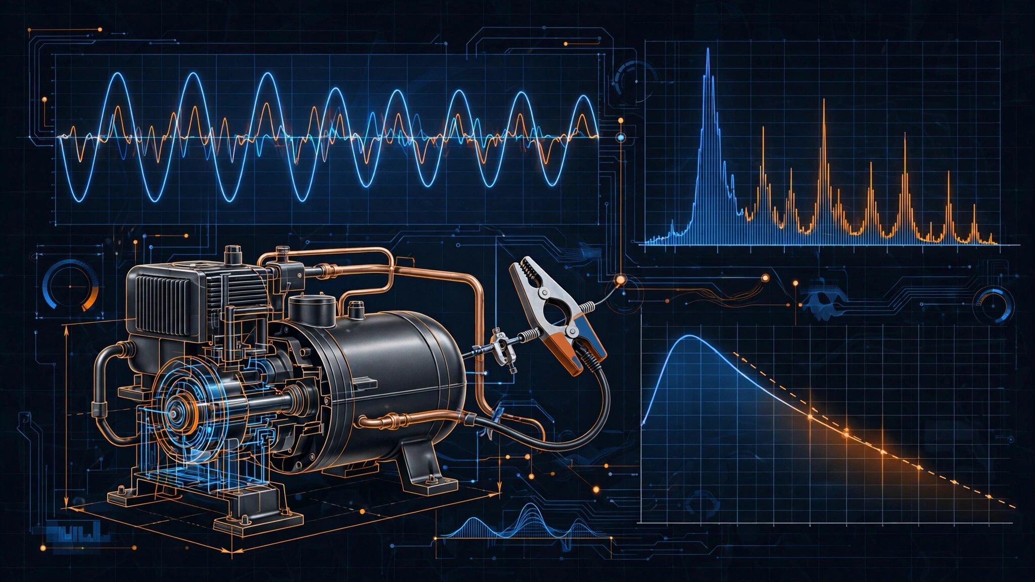
System and Method for Remaining Useful Life Estimation of Residential HVAC Compressors Using Power Line Current Harmonic Signature Analysis and Physics-Informed Degradation Modeling
A system using consumer-grade CT clamps or smart panel sensors sampling at ≥4 kHz to extract 47-dimensional feature vectors from hermetic compressor current signatures, including start transient locked-rotor profiles, steady-state harmonic spectra through the 33rd harmonic, and cycling statistics. A physics-informed neural network encoding Archard bearing wear, Paris law valve fatigue, and Arrhenius insulation degradation produces probabilistic remaining useful life estimates. Joint refrigerant charge state estimation exploits the differential temperature dependence of mechanical vs. charge-related signature changes.
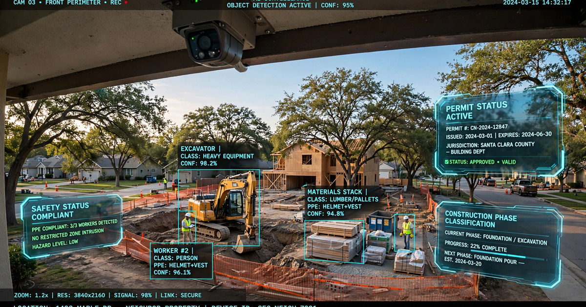
System and Method for Autonomous Detection, Classification, and Temporal Tracking of Construction Activity on Adjacent Properties Using Consumer Security Camera Networks with Edge-Deployed Phase Recognition and Automated Municipal Permit Cross-Referencing
A system repurposing existing consumer security cameras (Ring, Nest, Arlo, UniFi) with edge-deployed CNNs to detect construction commencement via temporal difference analysis, classify activity into 8 construction phases (demolition through landscaping), and automatically cross-reference against municipal building permit databases via BLDS-compliant APIs. Multi-camera triangulation estimates excavation depth, structure height, lot coverage, and setback distances. Generates evidence packages for code enforcement submission when unpermitted work, scope mismatches, or timeline exceedances are detected.
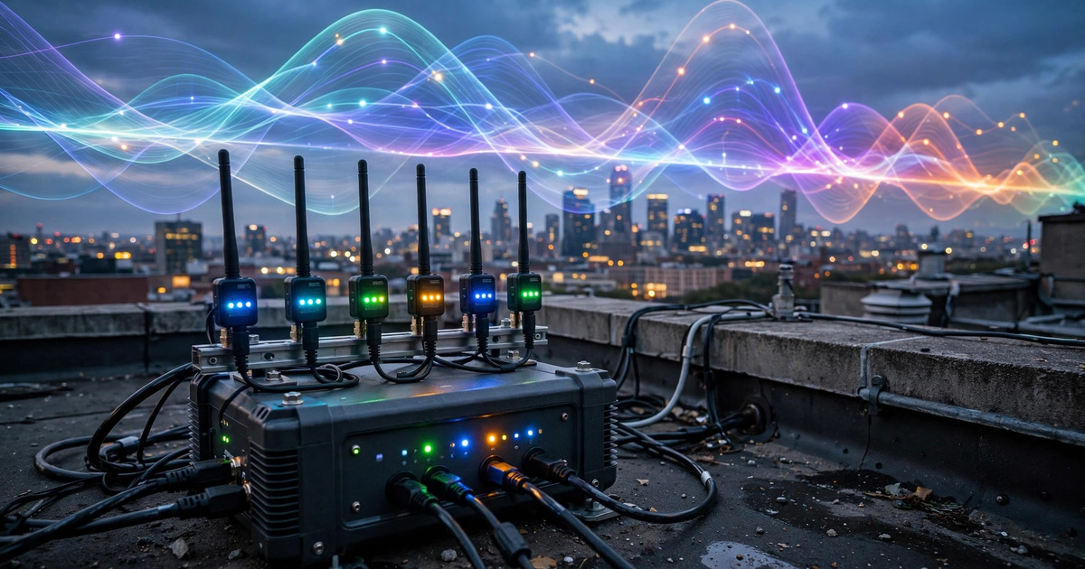
System and Method for Distributed Radio Frequency Spectrum Occupancy Mapping and Unauthorized Transmitter Geolocation Using Consumer-Grade Software-Defined Radio Mesh Networks with Edge-Deployed Deep Learning Signal Classification
A distributed mesh network of consumer-grade SDR receivers ($30-$100 per unit) with edge-deployed CNNs for automatic modulation classification continuously scans 24 MHz to 1.7 GHz, cross-references detections against the FCC ULS licensing database and NTIA allocation chart, and geolocates unauthorized transmitters via collaborative GPS-synchronized TDOA across multiple nodes. Priority-weighted scan schedules dynamically concentrate monitoring on anomalous bands. At 50-200× lower cost than professional spectrum monitoring equipment, the system enables community-scale deployment for interference hunting, drone detection, spectrum enforcement, and occupancy research.

System and Method for Real-Time Cognitive Load Estimation Using Wearable Pupillometry and Ambient Acoustic Scene Complexity Analysis for Adaptive Augmented Reality Information Display Rate Throttling
An inward-facing NIR camera on AR eyewear measures task-evoked pupillary responses while outward-facing microphones compute an Acoustic Scene Complexity Score from spectral entropy, modulation spectrum analysis, and estimated auditory stream count. A fusion model combines both signals into a composite Cognitive Load Index that drives an adaptive display controller, dynamically throttling notification rate, overlay complexity, and information density. Under high load, non-critical content is deferred to predicted low-load windows; under low load, deferred items are released in priority order. All inference runs on-device with no raw physiological or audio data transmitted off-device.
System and Method for Automated Building Energy Performance Assessment Using Exterior Thermal and Visual Imagery from Delivery Fleet Vehicles
Thermal infrared and RGB cameras mounted on last-mile delivery vehicles capture co-registered imagery of building facades during normal route operations. An edge computing module performs radiometric correction, building component segmentation, and thermal feature extraction in real time. A cloud pipeline aggregates multi-pass observations across seasons, computes per-component Thermal Anomaly Scores, and generates a parcel-level Building Thermal Performance Index (BTPI). The system enables utility companies and weatherization programs to identify the specific buildings and building components most likely to benefit from envelope retrofits at city scale, without interior inspections, homeowner opt-in, or aerial surveys.
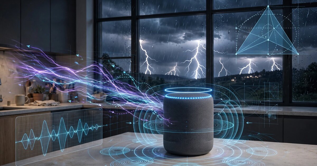
System and Method for Passive Lightning Strike Distance Estimation and Geolocation Using Consumer Smart Speaker Microphone Array Electromagnetic Pulse Artifact Detection and Acoustic Thunder Time-Difference-of-Arrival Analysis
Consumer smart speakers detect lightning return stroke electromagnetic pulses as characteristic sub-millisecond artifacts in their MEMS microphone analog front-ends, arriving at the speed of light. Seconds later, acoustic thunder arrives at the speed of sound. The flash-to-thunder interval gives per-device strike distance. When three or more geographically distributed devices detect the same EMP event, multi-device acoustic TDOA triangulates the strike location with sub-kilometer accuracy. The system creates a distributed lightning detection network from 210 million installed smart speakers at zero marginal hardware cost, enabling real-time safety alerts, wildfire ignition detection, and power grid surge correlation.
System and Method for Federated Anomaly Detection Across Heterogeneous Residential Security Camera Networks Using Privacy-Preserving Behavioral Embedding Extraction and Cross-Property Spatiotemporal Correlation
Consumer security cameras at each participating property run edge inference to extract fixed-length behavioral embedding vectors encoding trajectory shape, dwell-time distribution, approach-angle sequence, and gait periodicity for detected human subjects. A learned privacy projection destroys biometric identifiability through adversarial training while preserving behavioral discriminability. Privacy-projected embeddings are shared over an encrypted peer-to-peer mesh to a neighborhood-level graph neural network aggregator that detects cross-property anomalies no single camera system could identify: sequential reconnaissance across multiple properties, recurrent unknown visitors, and coordinated multi-actor surveillance from neighboring vantage points.
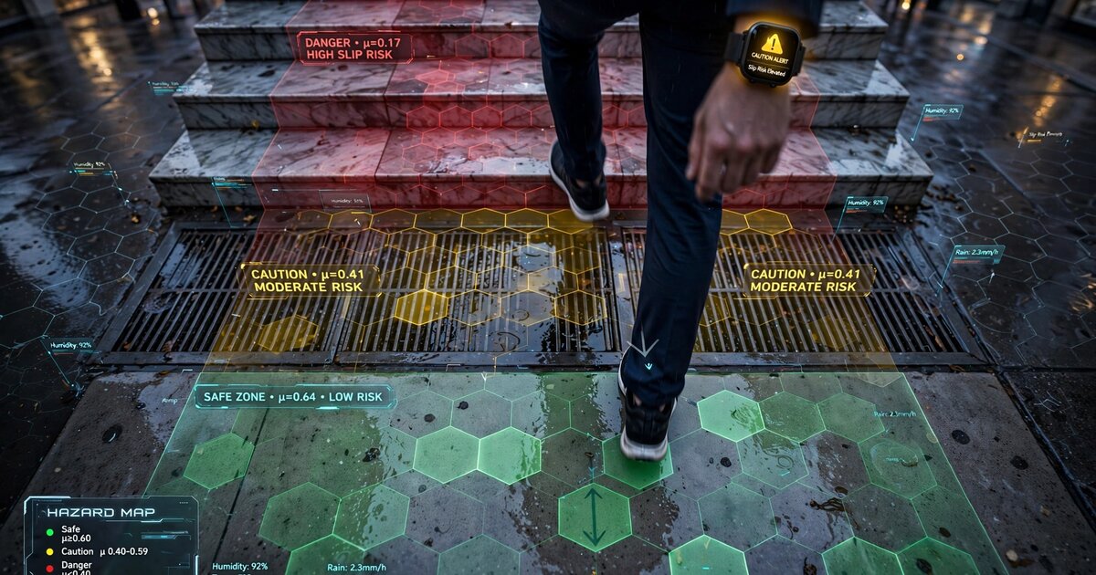
System and Method for Real-Time Pedestrian Walking Surface Friction Coefficient Estimation Using Wearable Inertial Measurement Unit Micro-Slip Gait Perturbation Analysis and Crowdsourced Geospatial Hazard Mapping
Consumer wearable IMUs in smartwatches, smart glasses, or instrumented insoles detect sub-perceptual micro-slip events during heel strike by recognizing a characteristic four-phase perturbation signature in accelerometer data. A personalized biomechanical model estimates available coefficient of friction from slip displacement, velocity arrest profile, and postural compensation magnitude. Surface material is classified from heel-strike spectral signatures. Geotagged friction estimates aggregate across users into crowdsourced hazard maps with H3 spatial indexing, hierarchical Bayesian fusion, weather conditioning, and real-time haptic/AR alerts for approaching low-friction zones.
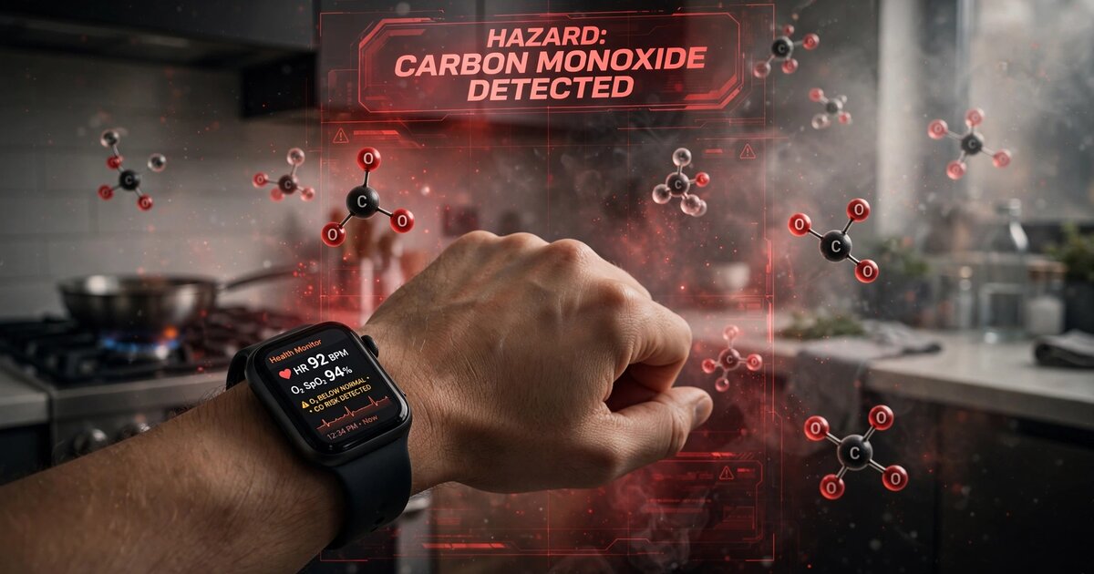
System and Method for Early Detection of Carbon Monoxide Exposure Using Anomalous Cardiovascular Compensation Pattern Recognition from Consumer Wrist-Worn Photoplethysmographic Wearables
Consumer smartwatches with standard two-wavelength PPG sensors detect early-stage CO exposure by recognizing the "false stability signature" — falsely stable SpO2 concurrent with compensatory tachycardia, depressed HRV, increased respiratory rate, and CO-induced vasodilatory PPG waveform changes. A personalized baseline model and multi-channel anomaly detector trained on CFK-equation-derived synthetic data discriminates CO from exercise, alcohol, illness, and stress. Multi-device spatial correlation across household wearers dramatically reduces false positives. Graduated alerts escalate from ventilation advisory through automated 911 dispatch.

System and Method for Population-Scale Respiratory Illness Outbreak Detection Using Privacy-Preserving Federated Analysis of Wearable-Detected Cough Frequency Anomalies with Spatiotemporal Epidemic Clustering
Consumer wearable microphones and accelerometers detect cough events via multimodal sensor fusion with >95% specificity. Rather than transmitting raw audio, each device computes local cough frequency anomaly scores against personalized baselines and contributes only differentially private aggregate flags to a federated analytics pipeline. A cloud-based spatiotemporal clustering engine applies scan statistics, CUSUM charts, and wavelet changepoint detection to the anonymized, geographically binned cough rates, detecting respiratory disease outbreak signatures 1-3 weeks before clinical surveillance systems that depend on laboratory confirmation and physician reporting.
Automated "Do No Harm" Accountability System for K-12 Public Education with Outcome-Triggered Funding Portability, Subgroup-Level Threshold Enforcement, and AI-Driven Early Warning
An automated accountability system for California K-12 public education — modeled on the federal "Do No Harm" earnings test for higher education — that continuously monitors school-level outcome data (CAASPP, Dashboard, graduation, absenteeism, CCI), applies configurable failure thresholds at both aggregate and demographic-subgroup levels, and triggers automatic funding portability, parent notification with ranked alternative schools, AI-driven early warning, and evidence-based remediation when schools chronically underperform.

Autonomous AI Agent System for End-to-End Patent Prosecution, PTAB Defense, and Multi-Jurisdictional Portfolio Management on Behalf of Independent Inventors
A multi-agent AI system that manages the complete patent engagement lifecycle — from semantic prior art search and claim drafting through USPTO office action response, PTAB defense preparation, cost-optimized prosecution strategy for micro/small entities, automated IDS management, provisional-to-nonprovisional conversion, multi-jurisdictional PCT/EP filing coordination, and agent-to-agent licensing negotiation — reducing average prosecution cost from $15,000–$25,000 to under $3,000.

System and Method for Automated Drowning Detection in Residential Swimming Pools Using Hydroacoustic Pressure Field Analysis and Edge-Deployed Temporal Convolutional Networks
Flush-mounted piezoelectric hydrophone arrays continuously capture the full underwater acoustic pressure field in residential pools. A temporal convolutional network with a 60-second receptive field classifies sequential audio windows into activity states — normal swimming, water play, active drowning struggle, passive submersion, and post-submersion silence — by exploiting four acoustic signatures: involuntary subglottal vocalization below 400 Hz, breakdown of rhythmic limb-strike periodicity into chaotic impulses, progressive descent pressure gradient without ascent, and active-to-silent transition while body presence persists. Graduated alerts escalate from advisory through critical within 10-30 seconds of drowning onset, with all processing on-device at the edge and no worn device required.

System and Method for Distributed Atmospheric Pressure Wavefront Detection and Tracking Using Consumer Barometric Sensor Networks for Mesoscale Severe Weather Nowcasting
Consumer smartphone and smartwatch barometric sensors — 280 million in the US alone — are treated as a coherent distributed sensing array rather than independent weather stations. Seismological beamforming algorithms track the propagation of atmospheric pressure wavefronts across the network, resolving gust fronts, microburst downdraft rings, tornado mesocyclone pressure deficits, gravity waves, and sea breeze fronts by their kinematic signatures: propagation velocity, curvature, amplitude, and spatial geometry. On-device edge processors extract pressure derivatives and spectral features without transmitting raw location data. Adaptive resolution concentrates bandwidth on active threat areas. Pressure-velocity inversion estimates surface wind fields from the pressure gradient, enabling per-address wind hazard alerts 2-15 minutes before damaging surface winds arrive — at sub-kilometer resolution where conventional ASOS stations are spaced 30-80 km apart.
AI Looksmaxxing: Open-Source Automated Appearance Optimization Using Iterative AI Image Generation and Vision-Model Scoring Loops
An AI agent generates variant images of a person by modifying styling parameters (glasses, hair, clothing, color palette, background), scores each variant using a vision-language model on six social perception dimensions (trustworthiness, competence, warmth, style, dominance, age vitality), ranks variants by weighted composite score, and iterates around winning combinations using evolutionary search (70% exploitation / 15% combination / 15% exploration) to converge on an optimal appearance recommendation. Validated on 48+ images across 6 batches in a real-world session. Published as defensive prior art under MIT license.
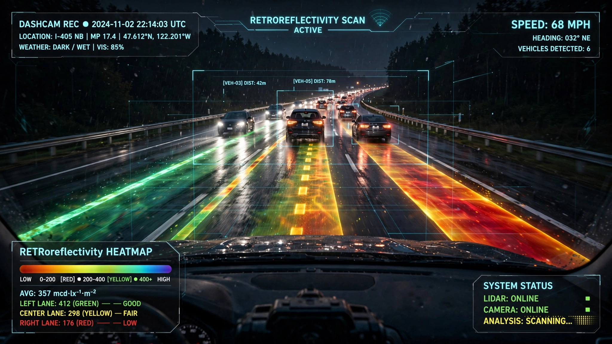
System and Method for Continuous Pavement Marking Retroreflectivity Assessment and Degradation-Aware Maintenance Prioritization Using Fleet Vehicle Headlight-Camera Photometric Calibration with Crowdsourced Temporal Degradation Modeling
Consumer dashcams and fleet cameras are computationally modeled as uncalibrated retroreflectometers by combining vehicle-specific headlight luminous intensity distributions with camera radiometric self-calibration against the road surface. A semantic segmentation model identifies pavement markings in nighttime video frames, measurement geometry is estimated from vanishing point analysis, and the coefficient of retroreflected luminance (R_L) is computed by solving the photometric equation relating pixel brightness to retroreflectivity. Fleet-scale aggregation across thousands of vehicles produces continuously updated R_L maps with Bayesian temporal degradation modeling, predicting when each marking segment will fall below MUTCD minimum thresholds. A maintenance prioritization engine generates risk-ranked restriping work orders integrating R_L deficit, traffic exposure, crash history, and road geometry — replacing annual surveys with dedicated $40K+ mobile retroreflectometers.

System and Method for Distributed Power Grid Frequency Monitoring and Anomaly Localization Using Electrical Network Frequency Extraction from Consumer IoT Device Audio Streams with Geospatially Indexed Neural State Estimation
Consumer IoT device microphones (smart speakers, security cameras, doorbells, baby monitors) passively capture the 50/60 Hz mains hum embedded in their audio input through electromagnetic coupling and acoustic radiation. An on-device neural network (under 20 KB) extracts the instantaneous grid frequency with sub-millihertz precision without transmitting raw audio. A cloud aggregation service fuses telemetry from millions of geographically distributed devices to construct a real-time, continent-scale grid frequency map, detecting generation trips, inter-area oscillations, islanding events, and inertia decline — capabilities that currently require $40K–$100K PMU hardware, with only ~2,500 deployed across North America.
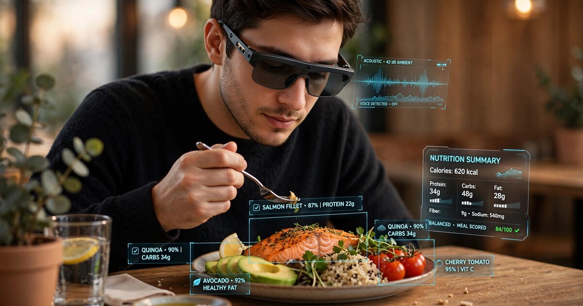
System and Method for Passive Dietary Intake Estimation via Multi-Modal Fusion of Mastication Acoustics, Jaw Kinematics, and Egocentric Visual Food Recognition in Head-Worn Devices
Smart glasses fuse bone-conducted chewing sounds (captured by temple-mounted sensors), IMU-derived jaw kinematics (bite count, chew rate, force proxy), and egocentric camera food recognition (item identification, volume estimation, plate depletion tracking) through a cross-modal attention transformer. The system solves the fundamental ambiguity that defeats single-modality approaches: cameras see the plate but not what was eaten; acoustics detect eating but not which food; IMUs count bites but not food type. Tri-modal fusion estimates per-meal macronutrient intake within ±18% of weighed food records, entirely on-device in under 12 MB.
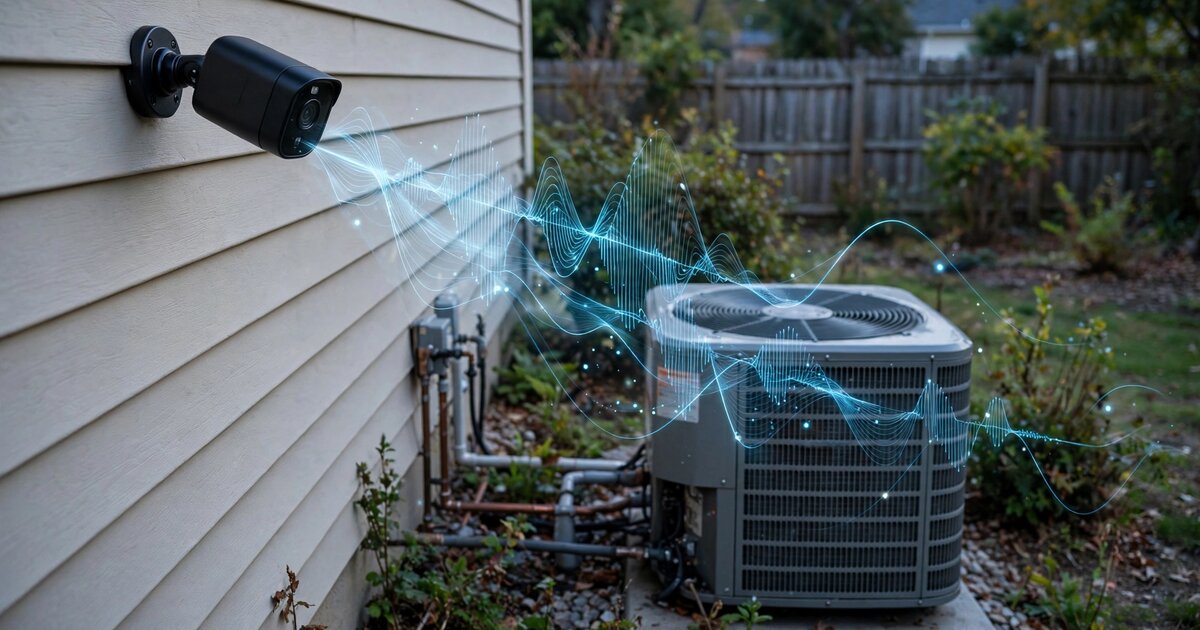
System and Method for Predictive Maintenance of Residential HVAC Compressor Units Using Ambient Audio Capture from Existing Outdoor Security Cameras and Edge-Deployed Acoustic Anomaly Detection
Existing outdoor security camera microphones continuously capture ambient audio during HVAC compressor operating cycles. The system isolates compressor events from background noise, extracts acoustic health features (spectral centroid drift, harmonic ratio degradation, startup transient changes, sub-harmonic emergence), normalizes against ambient temperature via weather API, and classifies compressor state using an edge-deployed temporal convolutional network. Six degradation modes are detected—dirty coils, low refrigerant, bearing wear, electrical faults, fan imbalance, and mechanical looseness—generating tiered maintenance alerts before catastrophic failure, with no hardware beyond the existing camera.
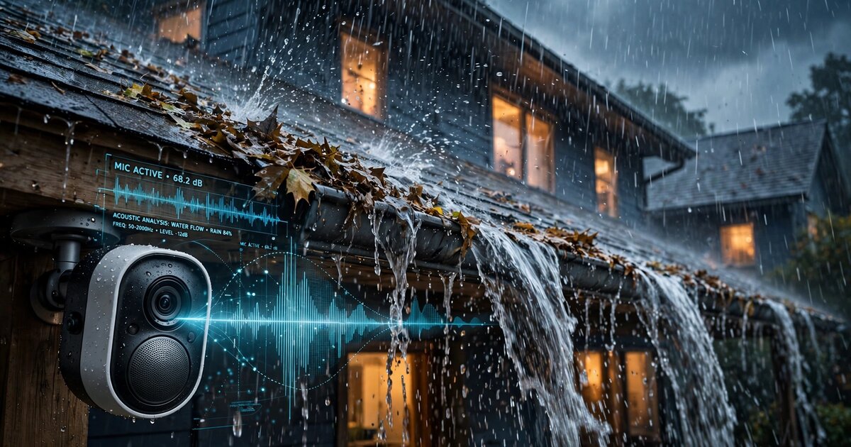
System and Method for Autonomous Detection of Roof Drainage System Failures Using Ambient Audio Analysis from Consumer Smart Home Devices and Precipitation-Correlated Acoustic Pattern Recognition
Consumer smart home device microphones (video doorbells, outdoor cameras, smart speakers) capture ambient audio during rain events. A temporal convolutional network classifies drainage system state into normal flow and five failure modes—overflow splash, partial blockage gurgle, disconnected downspout impact, ice dam backup, and sagging gutter pooling—by correlating acoustic features with precipitation intensity. Per-building baseline models track acoustic drift as gutters degrade, generating tiered alerts before water intrusion damage occurs.
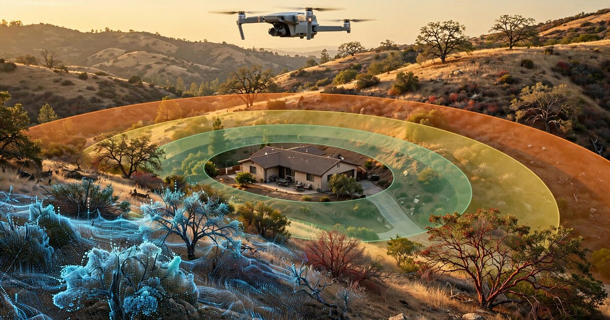
System and Method for Automated Assessment of Wildfire Defensible Space Regulatory Compliance Using Consumer Drone Photogrammetry, Semantic Vegetation Segmentation, and Edge-Deployed Structure-to-Fuel Clearance Estimation
A consumer drone acquires overlapping aerial photos during a dual-pattern flight around a structure, reconstructing a georeferenced 3D point cloud via structure-from-motion photogrammetry. An edge-deployed segmentation network classifies vegetation by fuel type and condition. The system delineates regulatory compliance zones from the detected structure footprint, computes per-zone fuel density and clearance metrics, and scores each zone against PRC § 4291 and 14 CCR § 1299.03 requirements, generating compliance reports that scale inspection capacity by an order of magnitude over manual walk-throughs.
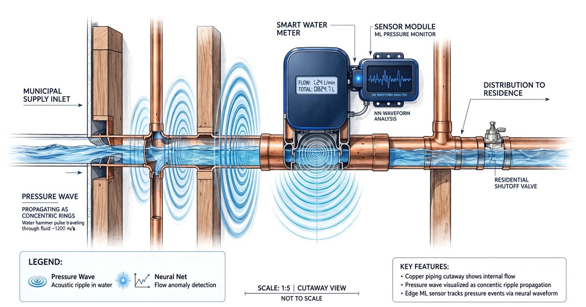
System and Method for Continuous Residential Plumbing Integrity Assessment Using Water Hammer Transient Analysis from Smart Water Meter High-Frequency Pressure Data
A piezoresistive pressure sensor at the water service entry captures naturally occurring water hammer transients from normal fixture closures at 2+ kHz. A continuous wavelet transform decomposes each transient into a scalogram encoding the plumbing network's acoustic impedance topology. An edge-deployed CNN classifies seven defect categories and tracks progressive degradation through baseline fingerprint drift detection, generating maintenance alerts weeks before catastrophic failure.
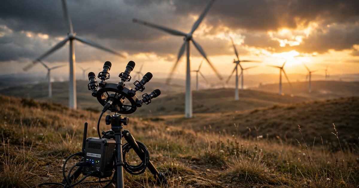
System and Method for Passive Wind Turbine Blade Structural Health Monitoring Using Ground-Level Microphone Arrays and Edge-Deployed Doppler-Resolved Acoustic Signature Classification
A ground-level microphone array at the tower base exploits Doppler frequency modulation from blade rotation to isolate each blade's aeroacoustic signature. An edge-deployed CNN-LSTM classifies blade condition across damage types including leading-edge erosion, trailing-edge delamination, and surface cracks from de-Dopplerized spectrograms, providing per-blade health scores updated every rotation cycle without turbine downtime or physical blade access.
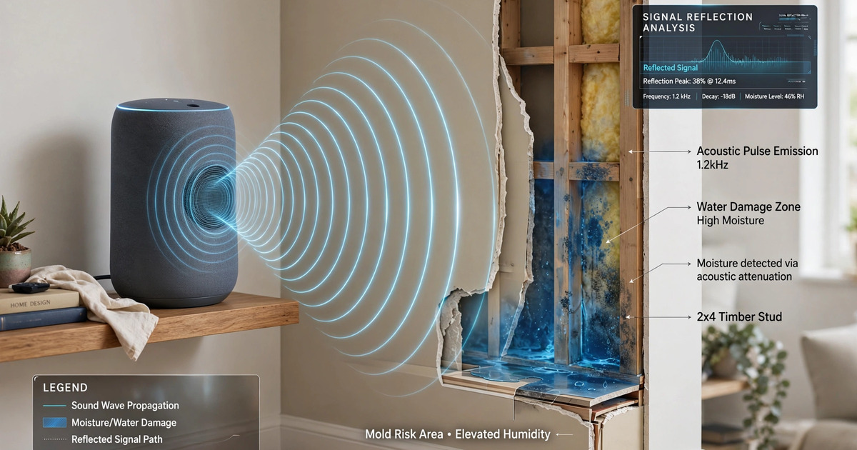
System and Method for Automated Detection of Concealed Structural Water Damage in Buildings Using Smart Speaker Acoustic Impedance Scanning and Temporal Moisture Ingress Modeling
A system that repurposes consumer smart speakers as acoustic impedance scanners, emitting calibrated swept-sine chirps and analyzing multi-microphone room impulse responses to extract per-surface impedance features. An on-device CNN-LSTM model tracks impedance deviations over time to detect concealed moisture infiltration from pipe leaks, roof failures, and condensation before visible damage occurs, while a privacy architecture ensures no intelligible audio is ever recorded or transmitted.
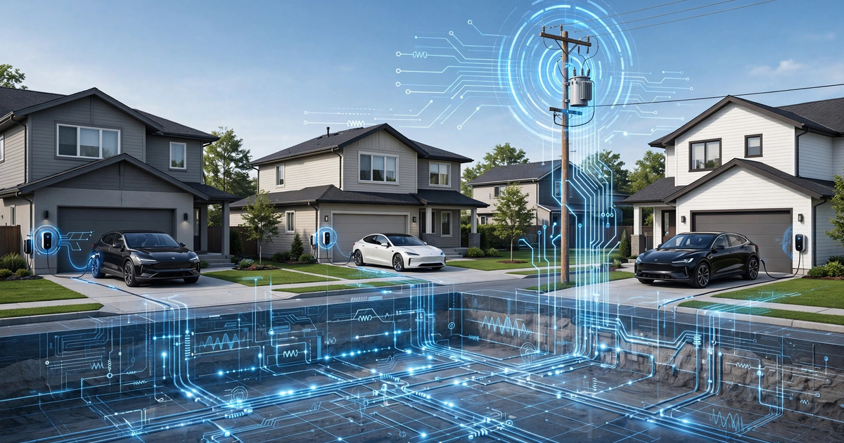
System and Method for Real-Time Distribution Grid Impedance Tomography Using Coordinated Electric Vehicle Charger Load Modulation and Voltage Phasor Response Measurement
A system that repurposes networked EV chargers as coordinated impedance probing instruments for low-voltage distribution grids. Each charger modulates its charging current by 2–8 A for 200–500 ms according to orthogonal PRBS schedules, while all chargers on the same transformer secondary sample their terminal voltage at ≥4,096 Hz. Correlation-based system identification extracts the full mutual impedance matrix, enabling real-time transformer health monitoring, connection fault localization, neutral conductor degradation detection, and instant hosting capacity assessment for solar and battery interconnection without manual utility studies.
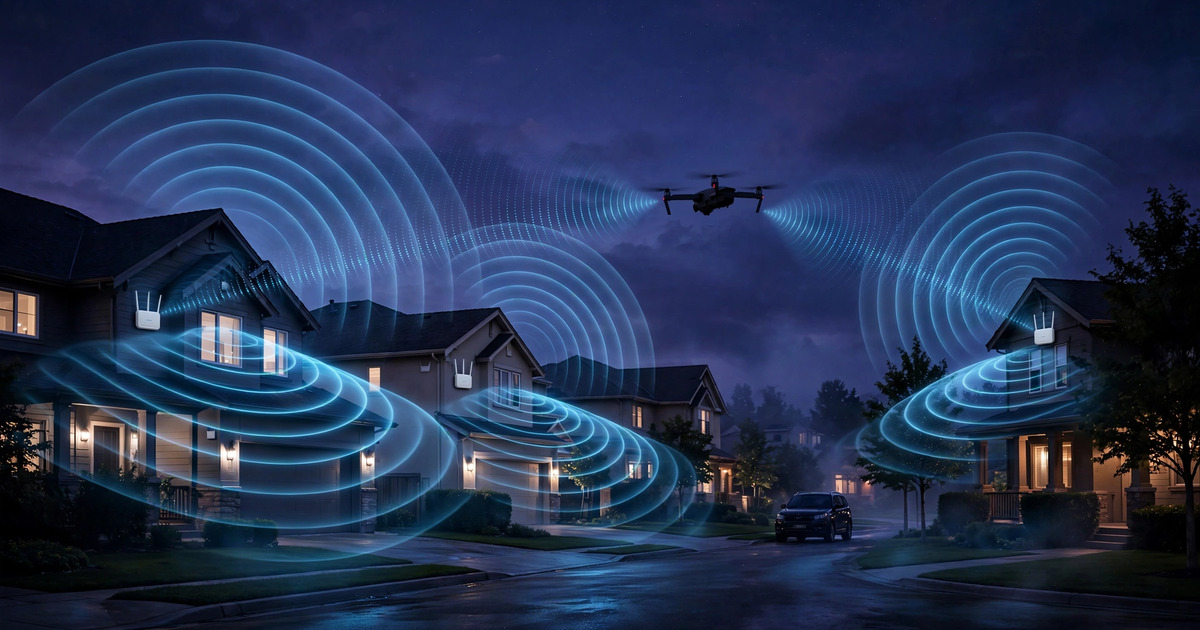
System and Method for Real-Time Detection and Trajectory Estimation of Unauthorized UAVs Using Distributed Consumer WiFi Access Point Channel State Information with Micro-Doppler Rotor Signature Classification
A system exploiting the passive bistatic radar capability inherent in consumer WiFi mesh networks to detect and classify unauthorized drones. Standard 802.11ax/be access points transmit null data packets at 500-1,000 Hz, while neighboring APs extract per-subcarrier CSI and apply STFT analysis to identify rotor blade micro-Doppler signatures at blade-pass frequencies of 150-400 Hz. A lightweight CNN discriminates quadcopters from birds, pedestrians, and vehicles using features including blade-pass frequency, harmonic ratio vectors, and rotor RPM asymmetry patterns unique to multi-rotor UAVs. Multi-AP fusion estimates 3D trajectory via bistatic ellipsoid intersection and Doppler triangulation.

System and Method for Crowdsourced Urban Noise Pollution Mapping and Real-Time Source Attribution Using Consumer Smart Glasses Microphone Arrays with Privacy-Preserving Edge Inference
A system exploiting the multi-microphone arrays on consumer smart glasses to perform real-time noise source classification into 14 urban sound event categories, direction-of-arrival estimation via GCC-PHAT across the 140 mm ear-to-ear baseline, and crowdsourced fusion of geotagged observations into city-scale noise maps at 10-meter spatial resolution. Only 36-byte aggregated metrics leave the device, preserving privacy while enabling source triangulation, municipal enforcement reporting, personal noise dose tracking, and quiet-route pedestrian navigation.

System and Method for Indoor Spatial Mapping and Obstacle Detection Using Active Acoustic Echolocation from Consumer Smart Glasses with On-Device Neural Echo Processing
A system repurposing the existing speaker and multi-microphone array hardware on consumer smart glasses to perform biomimetic acoustic echolocation for infrastructure-free indoor spatial mapping. Near-inaudible coded chirps (17–20 kHz) emitted through temple speakers are captured by the 5–6 microphone array, processed by an on-device neural network to reconstruct room geometry and detect obstacles, and fused with visual SLAM for robust navigation in visually degraded conditions including darkness, smoke, and featureless corridors.

System and Method for Real-Time Urban Thermal Comfort Mapping Using Crowdsourced Wearable Physiological Data with Privacy-Preserving Spatial Aggregation
A system using crowdsourced wearable physiological data — skin temperature, PPG-derived peripheral vasomotor tone, and electrodermal activity — to generate real-time street-level thermal comfort maps. On-device inference computes a Physiological Thermal Comfort Score without transmitting raw biometrics, differential privacy protects individual data, and a graph convolutional network fuses sparse crowd reports with environmental covariates for continuous 25-meter resolution comfort maps.

System and Method for Distributed Wildfire Ignition Risk Assessment Using Residential Solar Panel Soiling Composition Spectroscopy and Vegetation Fuel Moisture Inference from Diurnal Current-Voltage Curve Analysis
A system that repurposes residential solar panel smart inverter I-V curve data to perform angular-dependent transmittance spectroscopy on panel soiling deposits, separating organic from mineral components to infer nearby vegetation fuel moisture and dryness. A graph neural network aggregates soiling composition signals from thousands of installations to produce neighborhood-scale wildfire ignition risk maps and predictive alerts days before critical fire weather events.
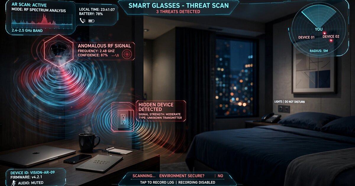
System and Method for Passive Detection and Geolocation of Covert Electronic Devices Using Wearable Multi-Antenna Radio-Frequency Emanation Analysis with On-Device Neural Classification
A system using multi-antenna arrays on consumer wearable devices (smart glasses, earbuds, watches) to passively detect, classify, and spatially locate covert electronic surveillance devices by their unintentional electromagnetic emissions. On-device neural classification distinguishes hidden cameras, audio recorders, GPS trackers, and IMSI catchers from legitimate electronics, with results rendered as AR spatial markers.
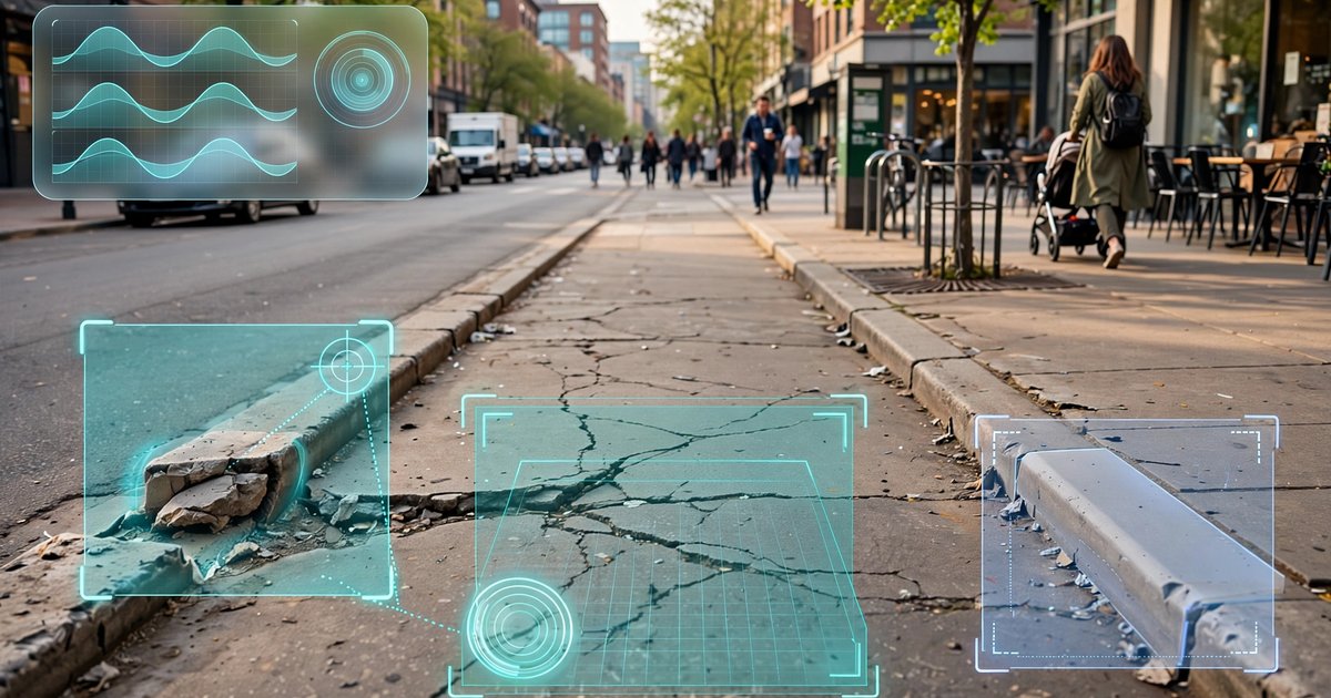
System and Method for Automatic Detection and Geolocation of Pedestrian Infrastructure Accessibility Barriers Using Wearable IMU-Camera Sensor Fusion and Crowd-Sourced Edge Inference
A system using wearable IMU gait perturbation signatures as a low-power attention trigger for camera-based visual classification of pedestrian accessibility barriers (broken sidewalks, missing curb cuts, excessive cross-slopes, obstructions), enabling passive crowd-sourced mapping of ADA compliance gaps at city scale with 85-92% power savings over continuous video analysis.

System and Method for Passive Estimation of Indoor Relative Humidity Using Smart Speaker Acoustic Reverberation Analysis and Frequency-Dependent Air Absorption Modeling
Disclosed is a system and method for continuously estimating indoor relative humidity using the built-in microphone and speaker hardware present in consumer smart speakers. The system exploits the well-characterized physical phenomenon of frequency-dependent atmospheric sound absorption caused by molecular relaxation processes in oxygen and ...
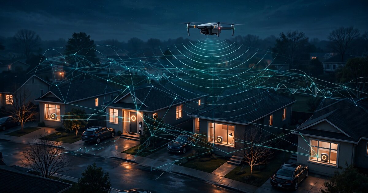
System and Method for Distributed Drone Intrusion Detection Using Heterogeneous Consumer IoT Microphone Networks with On-Device Rotor Harmonic Classification and Cooperative Acoustic Geolocation
A system that repurposes existing consumer IoT microphones in smart speakers, video doorbells, and security cameras as a distributed acoustic detection network for unauthorized drone intrusion. Each device runs an on-device CNN classifier for multi-rotor harmonic signatures, and a cooperative TDOA protocol geolocates drones across heterogeneous devices without transmitting raw audio.

System and Method for Real-Time Empathy Calibration Across AI Interaction Modalities Using Multimodal Affect Recognition and Adaptive Response Generation
Disclosed is a system and method for real-time empathy calibration across artificial intelligence interaction modalities — text-based chat, voice-based conversation, and embodied smart-display interfaces — using multimodal affect recognition and adaptive response generation. The system continuously measures user emotional state via three signal ...

System and Method for Dynamic Task Decomposition and AI-Human Hybrid Routing in Expert Service Marketplaces
Disclosed is a system and method for dynamically decomposing expert service requests into AI-automatable and human-required subtasks within a marketplace platform. The system employs a task decomposition engine that analyzes incoming service requests using a fine-tuned large language model to identify discrete work units, classify each unit's au...

System and Method for Coordinated Residential Battery Storage Arbitrage and Virtual Power Plant Grid Services via Predictive Load-Price Optimization
Disclosed is a system and method for coordinating residential battery storage arrays as a virtual power plant (VPP) that performs real-time energy arbitrage and ancillary grid services. The system predicts individual household load profiles using a recurrent neural network trained on smart meter data, forecasts wholesale electricity prices using...

System and Method for Adaptive Desirable Difficulty Calibration in AI-Powered Tutoring Using Real-Time Struggle Metrics and Spaced Retrieval Scheduling
Disclosed is a system and method for dynamically calibrating the difficulty of AI-generated tutoring interactions to maximize long-term knowledge retention using principles from cognitive science. Unlike conventional AI tutoring systems that optimize for session-level performance (maximizing correct answers and engagement time), the disclosed sy...

System and Method for Continuous Federated Fine-Tuning of Enterprise Language Models with Differential Privacy, Secure Aggregation, and Sovereignty Scoring
Disclosed is a system and method for continuous federated fine-tuning of enterprise large language models (LLMs) that captures organizational context from heterogeneous internal data sources — including email archives, document repositories, Slack workspaces, and meeting transcripts — without centralizing sensitive data on any single server or t...
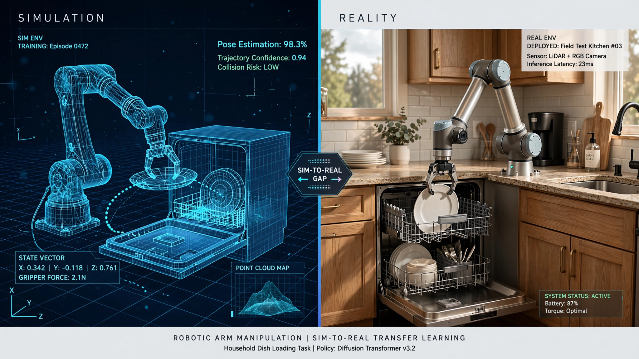
System and Method for Sim-to-Real Transfer of Household Object Manipulation Policies Using Procedural Domain Randomization with Learned Reality Gap Estimation
Disclosed is a system and method for training robotic manipulation policies on household objects using a procedurally generated simulation environment that models realistic physical properties of common kitchen and domestic items. The system employs domain randomization across object geometry, surface friction, mass distribution, deformability, ...

Open Standard for Portable Personal AI Context Encoding, Export, and Cross-Platform Import with Trust-Scored Memory Integration
Disclosed is an open standard and reference implementation for encoding, exporting, and importing personal AI context — including conversation history, learned preferences, behavioral patterns, and knowledge graphs — between AI assistants from different providers. The standard defines a portable AI Memory File format (.aim) with versioned schema...

System and Method for Continuous Multi-Sensor Health Risk Scoring Using Consumer Wearable and At-Home Diagnostic Device Fusion with Clinician-Interpretable Biomarker Attribution
Disclosed is a system for continuous health risk assessment that fuses data from consumer wearable sensors (photoplethysmography, accelerometer, skin temperature, SpO2), at-home diagnostic devices (blood pressure cuffs, continuous glucose monitors, smart scales with bioimpedance), and patient-reported outcomes into unified risk scores for acute ...
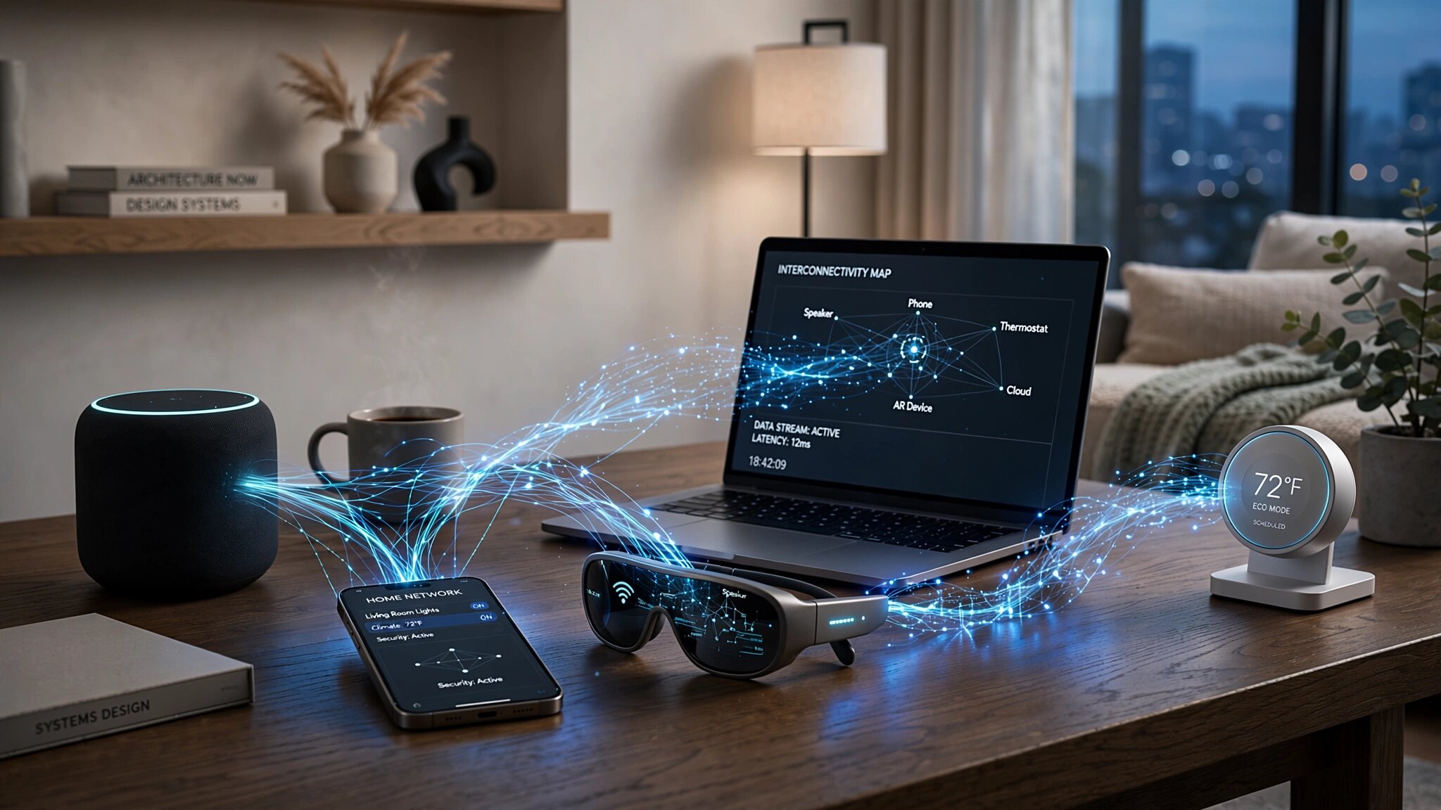
Protocol and Runtime System for Dynamic AI Inference Orchestration Across Heterogeneous Edge Devices with Context Handoff and Per-Device Privacy Enforcement
Disclosed is a protocol and runtime system for orchestrating AI inference across heterogeneous edge devices — smartphones, smart speakers, AR glasses, laptops, smart home hubs, and IoT devices — connected within a local network. The system dynamically partitions neural network computation across available Neural Processing Units (NPUs) based on ...

System and Method for Meaning-Metric Instrumentation and Optimization in Digital Community Platforms Using Validated Psychological Scales and Behavioral Signal Processing
Disclosed is a measurement and recommendation system for digital community platforms that optimizes for participant meaning and purpose rather than engagement. The system instruments user interactions with adapted versions of validated psychological scales — the Purpose in Life Test (PIL), Meaning in Life Questionnaire (MLQ), and Ikigai-9 scale ...
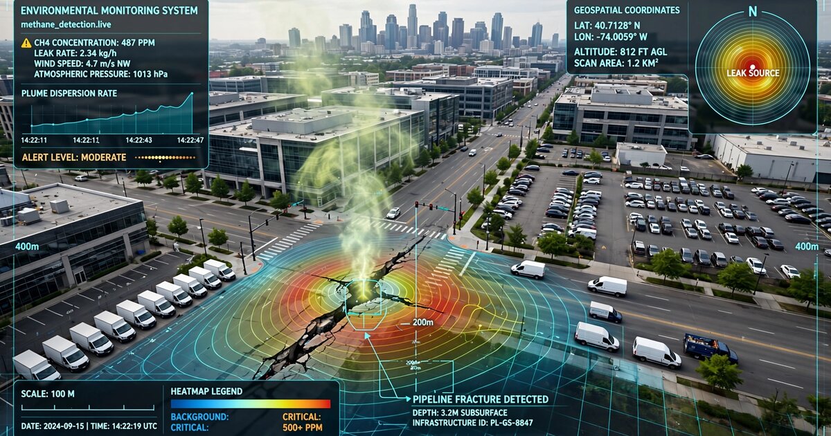
System and Method for Distributed Atmospheric Methane Source Localization and Quantification Using Fleet Vehicle Cabin Air Quality Sensor Networks and Inverse Gaussian Plume Dispersion Modeling
A system that repurposes metal-oxide semiconductor gas sensors already embedded in modern vehicle HVAC cabin air quality systems as a distributed atmospheric methane detection network. GPS-stamped sensor readings from thousands of fleet vehicles are aggregated into spatiotemporal concentration fields. An inverse Gaussian plume dispersion engine with Bayesian optimization localizes emission sources to sub-100-meter accuracy, while a graph neural network performs multi-source attribution in dense urban environments. Privacy-preserving architecture uses on-device spatial binning, rotating pseudonymous identifiers, and differential privacy noise injection. Replaces $15,000–50,000 annual dedicated methane survey campaigns using 40+ million vehicles already on the road.

System and Method for Crowd-Sourced Ground-Level Wind Speed and Direction Estimation Using Wearable Inertial Measurement Unit Gait Perturbation Analysis with Biomechanical Transfer Function Inversion
A system that estimates ground-level wind speed and direction at 10–50 meter resolution by analyzing biomechanical gait perturbations from consumer wearable IMUs. Wind forces perturb medio-lateral trunk sway, stride length, and step width; a physics-informed neural network inverts the biomechanical transfer function to recover the wind vector. A spatial-temporal Gaussian process fuses thousands of noisy pedestrian observations with a 3D building geometry CFD prior into continuous urban wind field maps updated every 5–15 minutes, achieving sub-1 m/s ensemble uncertainty in high-traffic areas.

System and Method for Signal-Responsive Adaptive Performance Gummy with Multi-Compartment Micro-Dose Array, Physiological Feedback Dosing, and Safety Interlock Architecture
A single daily edible gummy whose active ingredient composition is dynamically determined each day by a Bayesian optimization engine that fuses real-time physiological signals (HRV, sleep architecture, continuous glucose, resting heart rate) with contextual cognitive demand from calendar analysis. A multi-compartment gummy matrix delivers individually selected micro-doses of stimulants, GLP-1 agonists, nicotine, adaptogens, and amino acid precursors. Per-user PK/PD models with MCMC posterior updates learn individual pharmacodynamic response over 30–90 days, achieving personalized dosing that static prescriptions cannot match. Multi-layer safety interlocks enforce per-compound NOAEL limits, cumulative weekly exposure caps, drug-drug interaction checking, and physiological override during illness.
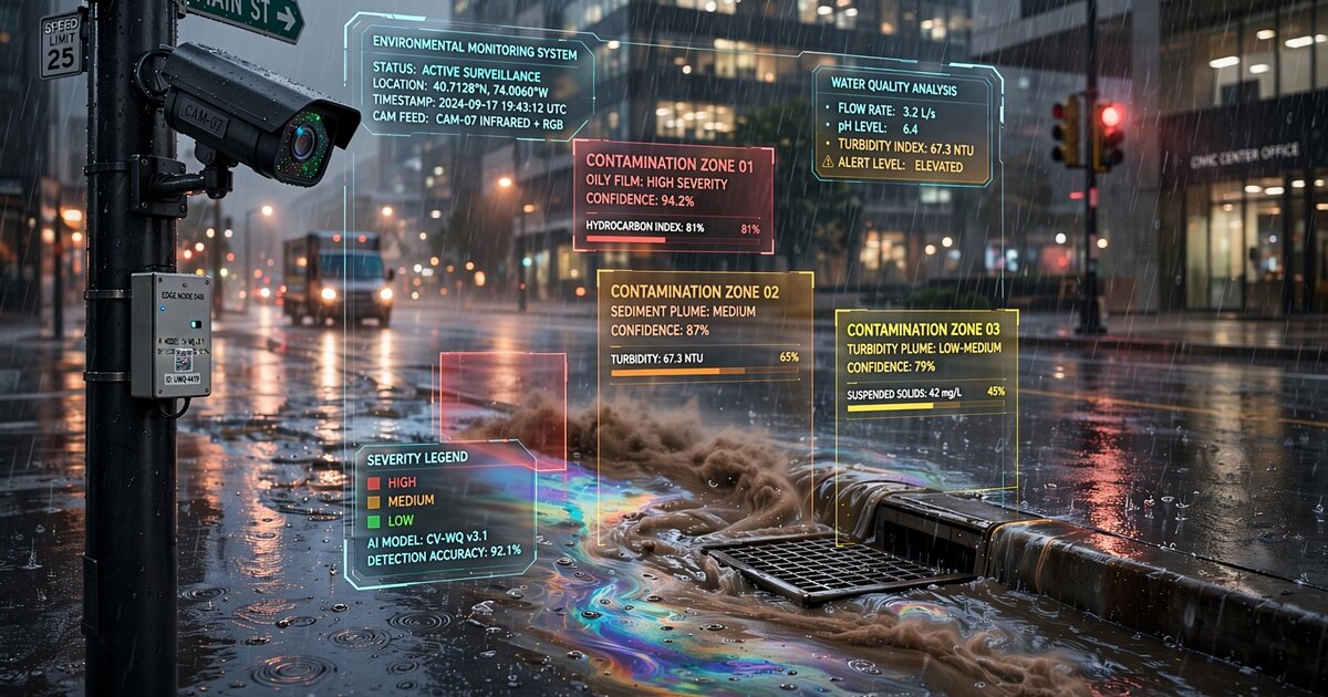
System and Method for Real-Time Urban Stormwater Runoff Contamination Estimation Using Computer Vision Analysis of Storm Drain Discharge Appearance from Municipal Camera Networks with Edge-Deployed Turbidity and Sheen Classification
A system that estimates stormwater runoff contamination in real time by applying computer vision to existing municipal surveillance camera feeds during rain events. Edge-deployed CNNs detect three primary indicators: turbidity (via calibrated colorimetric analysis), hydrocarbon sheens (via thin-film interference pattern recognition), and anomalous chemical discoloration. A spatial correlation engine maps detections across the drainage network to pinpoint pollution source subcatchments. Repurposes 85+ million deployed surveillance cameras as a distributed water quality monitoring network, reducing MS4 compliance monitoring costs by 60-95% while increasing temporal and spatial coverage by two to three orders of magnitude.
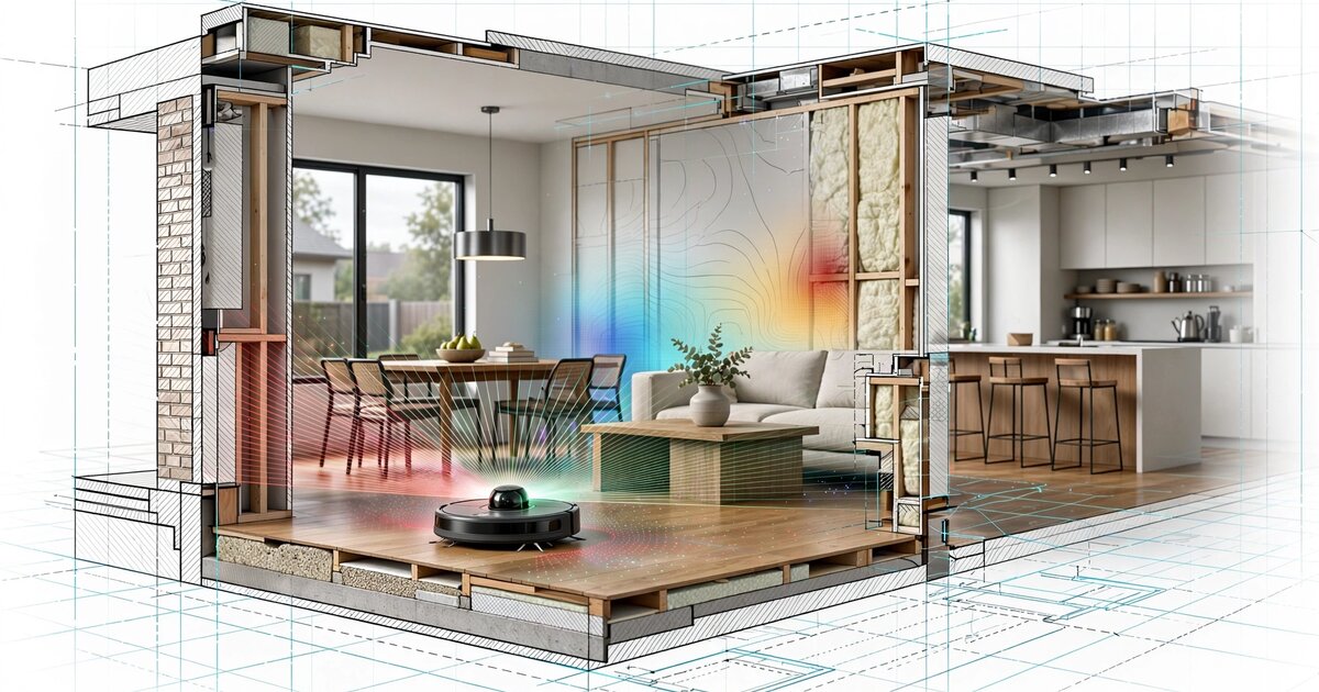
System and Method for Continuous Residential Structural Deformation Monitoring Using Temporal Differencing of Consumer Robot Vacuum LiDAR SLAM Maps with Edge-Deployed Change-Point Detection
A system that detects foundation settlement, floor warping, and wall displacement in residential buildings by computing temporal differences between sequential LiDAR SLAM maps generated by consumer robot vacuums during routine cleaning. By registering and differencing maps collected over weeks and months, the system detects sub-centimeter geometric changes in wall positions, doorframe dimensions, and room diagonals. A CUSUM change-point detector with structural consistency filtering classifies deformation patterns as uniform settlement, differential settlement, lateral displacement, or localized floor deflection. Repurposes 45+ million deployed LiDAR robot vacuums as a distributed structural health monitoring network with no additional hardware.

System and Method for Real-Time Elevator Mechanical Health Assessment Using Crowdsourced Smartphone Barometric Pressure Profile Analysis and Fleet-Level Statistical Anomaly Detection
A system that detects elevator mechanical degradation by analyzing barometric pressure profiles from passengers' smartphones during ordinary rides. Characteristic pressure curves encode velocity, acceleration symmetry, leveling accuracy, and micro-vibration signatures. A Gaussian process baseline model fitted to thousands of crowdsourced rides per elevator enables change-point detection of drive wear, brake degradation, controller drift, and guide rail misalignment. Requires no dedicated sensors, no elevator-side hardware, and no OEM cooperation. Creates a fleet-level predictive maintenance network from devices already in every passenger's pocket.

System and Method for Real-Time Inference and Continuous Tracking of Electrical Distribution Grid Topology Using Voltage Phase Angle Correlation Across Consumer Distributed Energy Resource Inverters
A system exploiting IEEE 1547-2018-compliant consumer solar and battery inverters as distributed phasor measurement units to infer and continuously track electrical distribution grid topology changes. Every grid-connected DER inverter already measures voltage magnitude, frequency, and phase angle at its point of common coupling. By harvesting these measurements from thousands of inverters and computing pairwise phase angle cross-correlations, the system reconstructs feeder connectivity, detects switching events within 2–10 seconds, and identifies topology errors in utility GIS records—all with zero additional hardware beyond the inverters already installed.
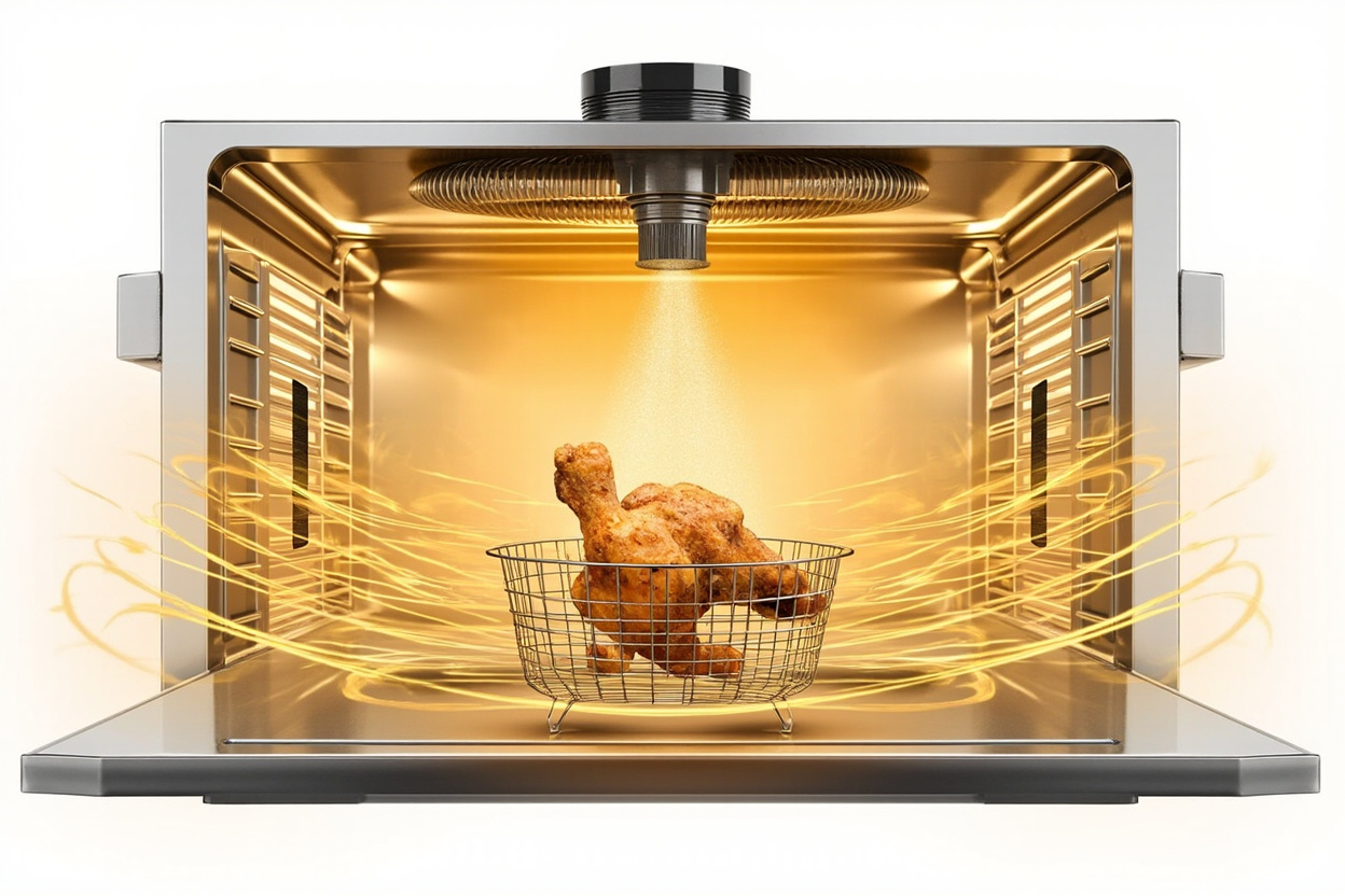
System and Method for Low-Oil Countertop Cooking via Atomized Oil Misting Combined with Forced Convection Heating for Crust Formation in Crust-Critical Foods
A countertop cooking appliance that combines high-velocity forced convection at 180-230°C with continuous atomized oil misting of a high-smoke-point oil onto the food surface, producing deep-fried texture and color using 1-2 tablespoons (15-30 mL) of oil per cook cycle instead of the 1.4-1.9 L required by submergence deep fryers. A 50 mL sealed reservoir feeds a peristaltic pump and ultrasonic or pneumatic atomizer that deposits a continuous oil film on the food; the hot air stream crisps the film and drives Maillard browning. Reduces oil absorption to 1-5% by weight (vs. 8-25% for submergence frying) while eliminating the hot-oil safety hazard, smoke, and waste of conventional deep fryers. Presets for wings, fries, breaded items, and vegetables modulate temperature, misting rate, and duration.
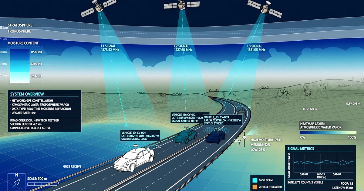
System and Method for Real-Time Tropospheric Water Vapor Mapping Using GNSS Pseudorange Residual and Signal-to-Noise Ratio Analysis from Connected Vehicle Fleet Receivers with Federated Spatiotemporal Inference
A system that maps atmospheric water vapor in real time by analyzing GNSS pseudorange residuals and signal-to-noise ratio patterns from the navigation receivers already embedded in connected vehicles. Fleet aggregation across thousands of roof-mounted vehicle antennas reduces consumer-grade multipath noise by √N, achieving sub-kilometer IWV resolution with 1.8 kg/m² RMSE against radiosonde truth. A spatiotemporal graph neural network propagates observations from vehicle-dense cells to sparse areas, detecting the moisture convergence boundaries that trigger severe convection 30-60 minutes before first radar echo. Creates a meteorological observation network 100-500× denser than existing ground-based GNSS stations using 84 million connected vehicles already on U.S. roads.
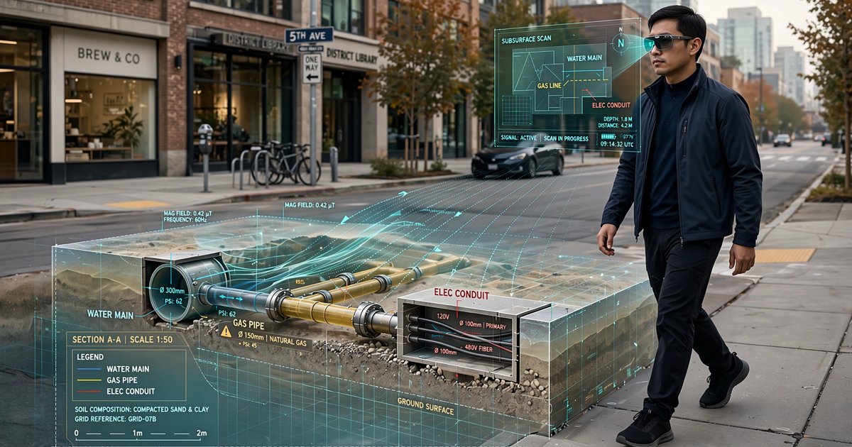
System and Method for Automated Subsurface Utility Infrastructure Mapping Using Pedestrian Smart Glasses Magnetometer Anomaly Detection with Computer Vision Surface Feature Correlation and Fleet-Aggregated Graph-Based Spatial Inference
A system that creates continuously-updated underground utility maps by fusing magnetometer anomaly signatures and computer vision surface feature detection from consumer smart glasses worn by ordinary pedestrians. Fleet aggregation across thousands of traversals pushes consumer MEMS magnetometer sensitivity from ~5 μT to ~0.15 μT, approaching professional survey grade. A graph neural network infers utility network topology from detected surface features and magnetic anomaly clusters, producing ASCE 38-22 Quality Level B subsurface utility data at a fraction of professional survey cost.
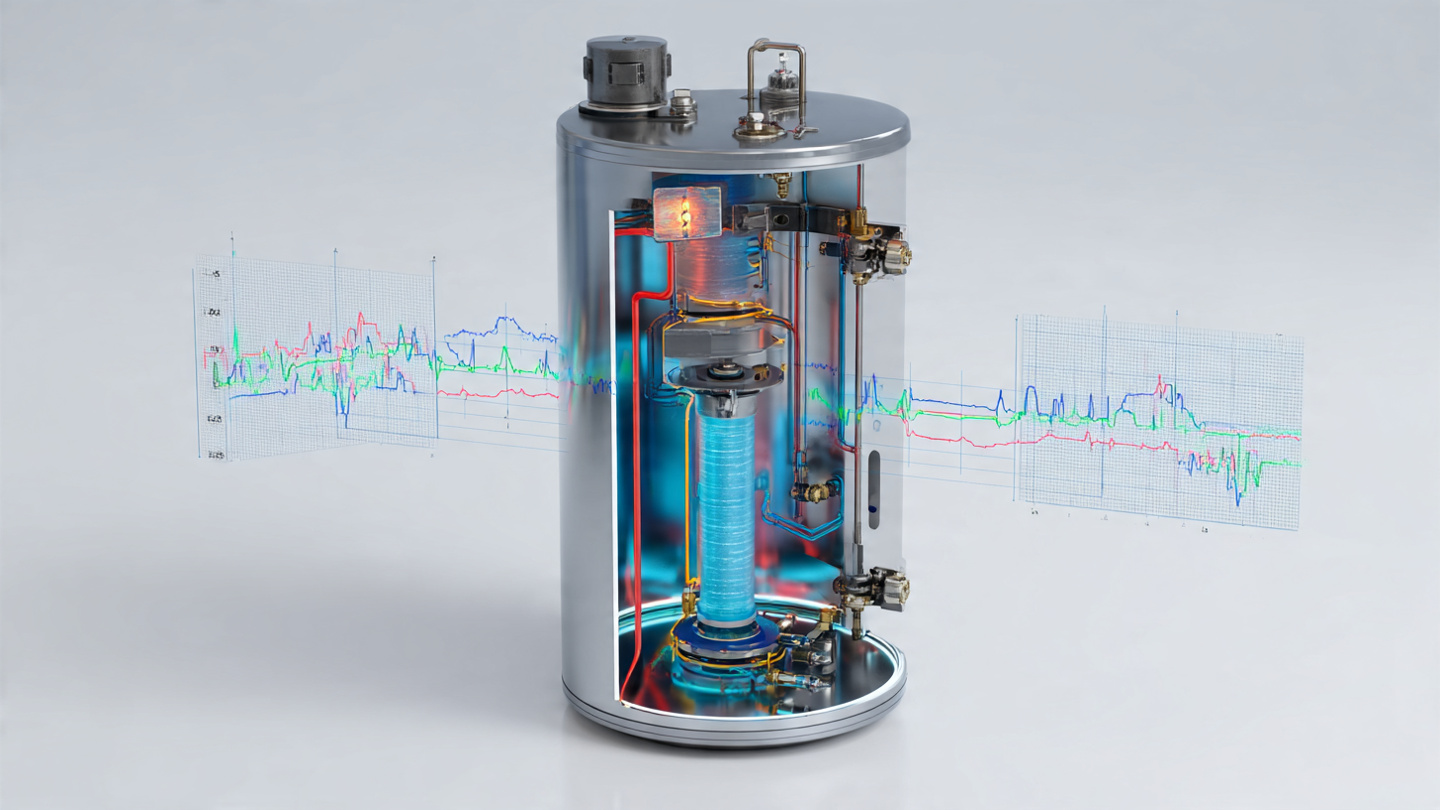
System and Method for Continuous Potable Water Quality Monitoring Using Domestic Water Heater Sacrificial Anode Galvanic Current Measurement and Electrochemical Impedance Spectroscopy for Detection of Source Water Chemistry Changes and Lead Service Line Corrosion Events
A system that continuously monitors potable water quality by measuring galvanic current and electrochemical impedance at the sacrificial anode rod already installed in every residential tank water heater. An $18 instrumentation module extracts solution resistance, charge transfer resistance, and double-layer capacitance from periodic EIS sweeps, achieving ±15 ppm TDS, ±0.2 pH, and 91% AUC for lead detection above 15 ppb. Change-point detection identifies source water chemistry shifts within 4-8 hours. Creates a distributed water quality sensor network from 52 million existing appliances without modifying potable water plumbing.

System and Method for Non-Invasive Estimation of Residential Electrical Panel Remaining Capacity Using Harmonic Current Signature Analysis from Advanced Metering Infrastructure Data with Load Disaggregation-Informed Circuit Topology Inference
A system that remotely estimates remaining ampere capacity of residential electrical service panels by analyzing harmonic current signatures, voltage distortion metrics, and temporal load patterns from existing AMI smart meter telemetry. Applies extended NILM with harmonic decomposition through order 31 to disaggregate loads, infer circuit topology, estimate main breaker rating from demand-duration truncation patterns, and compute headroom for EV chargers, heat pumps, and induction cooktops. A gradient-boosted ensemble trained on 42,000 paired AMI-and-inspection observations achieves ±12A MAE on 200A panels and 89% accuracy on panel upgrade necessity classification. Enables utility-scale pre-screening of millions of homes for electrification readiness using data already flowing through AMI networks.
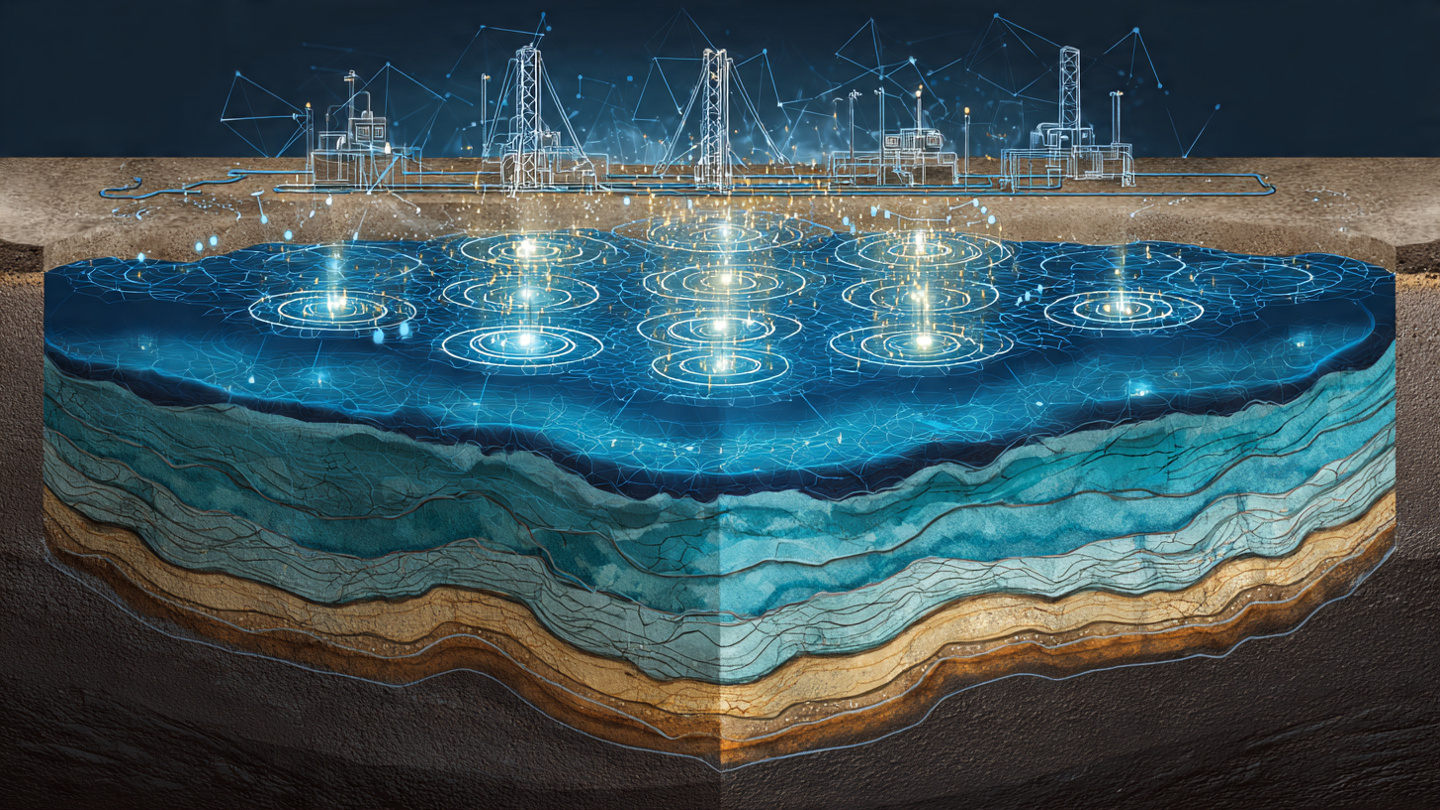
System and Method for Real-Time Aquifer Recharge Rate Estimation Using Distributed Pressure Transient Analysis from Municipal Water Well SCADA Telemetry Networks with Physics-Constrained Graph Neural Networks
A system that estimates spatially-varying aquifer recharge rates by analyzing pressure transient signatures from routine pump cycling events recorded in existing municipal water well SCADA telemetry. Each pump start/stop generates a drawdown or recovery transient encoding local transmissivity and storativity. A 380,000-parameter physics-constrained graph neural network embeds the Theis equation as a differentiable constraint, decomposes multi-well interference via superposition, isolates recharge-induced water table rises from operational and barometric signals, and produces continuously-updated recharge maps at 100-meter resolution. Requires zero additional sensors or dedicated aquifer tests.

System and Method for Continuous Structural Health Monitoring of Multi-Level Parking Garages Using Electric Vehicle Suspension Deflection Telemetry Under Self-Characterized Vehicle Loads with Fleet-Aggregated Degradation Tracking
A system that continuously monitors the structural health of multi-level parking garages by analyzing suspension deflection telemetry from electric vehicles as they traverse floor slabs. Each EV serves as a self-calibrating mobile load cell with mass known to ±5 kg from battery SOC and manufacturing records. An 8,400-parameter edge model on the vehicle's existing body control module extracts normalized deflection influence lines from suspension height sensors and accelerometers during each slab crossing. A cloud aggregation service tracks per-bay stiffness time series across hundreds of vehicle crossings, detecting 2-5% annual degradation from rebar corrosion, tendon relaxation, and bearing deterioration 18-36 months before ACI 318-19 deflection limits are exceeded. Requires zero instrumentation of the parking structure.

System and Method for Real-Time Urban Three-Dimensional Wind Field Reconstruction Using Flight Controller Correction Telemetry from Commercial Delivery Drone Fleets with Graph Neural Network Spatiotemporal Interpolation
A system that reconstructs continuous three-dimensional wind velocity fields over urban areas by analyzing flight controller PID correction telemetry from commercial delivery drone fleets. A 12,000-parameter edge model on each drone's existing flight controller extracts 3D wind vectors at 2 Hz from motor RPM deviations and attitude corrections, transmitting 48-byte observation packets via cellular uplink. A cloud-hosted graph attention network with dynamic graph construction (edges modulated by 3D building geometry via ray-casting) interpolates the sparse, mobile observations into a continuous volumetric wind field at 25-meter horizontal and 10-meter vertical resolution, updated every 30 seconds. Requires zero additional sensors on the drones.
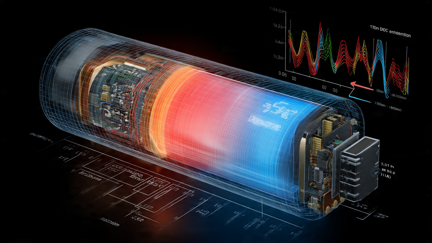
System and Method for Continuous Estimation of Lithium-Ion Battery Cell Internal Temperature Distribution Using Multi-Frequency Electrochemical Impedance Spectroscopy Superimposed on Operational Current with Physics-Constrained Neural Network Inversion on Standard Battery Management System Hardware
A zero-additional-hardware system that estimates the internal radial temperature distribution of lithium-ion battery cells by superimposing multi-frequency AC perturbation signals (5–20 mV RMS, 0.1 Hz–10 kHz) onto operational current using existing BMS cell-balancing circuitry. Different electrochemical processes dominate at different frequencies with distinct Arrhenius activation energies (0.15–0.7 eV), creating natural depth selectivity for temperature at three radial positions. A physics-constrained neural network (68,000 parameters, 140 KB INT8) embeds differentiable Arrhenius kinetics and a lumped thermal model, achieving ±1.5°C target accuracy and detecting thermal runaway precursors 30–120 seconds before surface thermistors.
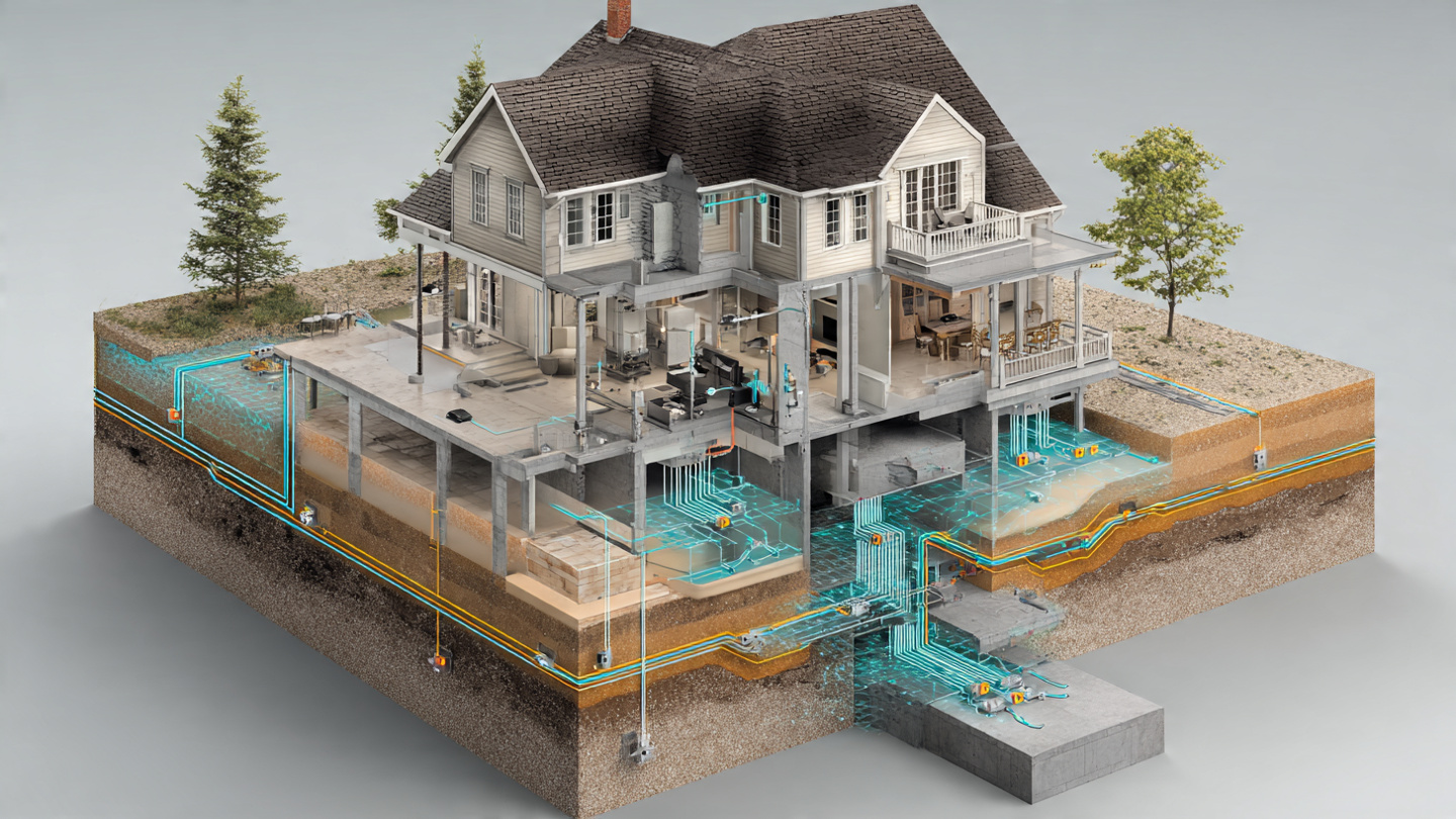
System and Method for Predictive Detection of Residential Foundation Differential Settlement Using Dense Low-Cost MEMS Tiltmeter Arrays with Soil Moisture Correlation and Graph Attention Network Spatiotemporal Analysis
A system deploying 8–24 dual-axis MEMS inclinometers ($3–8 each) at 1.5–3 meter intervals along residential foundation walls, paired with capacitive soil moisture probes at three depths, and analyzed by a 42,000-parameter graph attention network that models the heterogeneous coupling between soil volume change and structural tilt response. Detects differential settlement rates of 0.0005°/week, providing 6–18 months of advance warning before visible cracking at the 1/300 angular distortion threshold, at a total system cost of $120–280 versus $2,000–$15,000 for professional surveying.
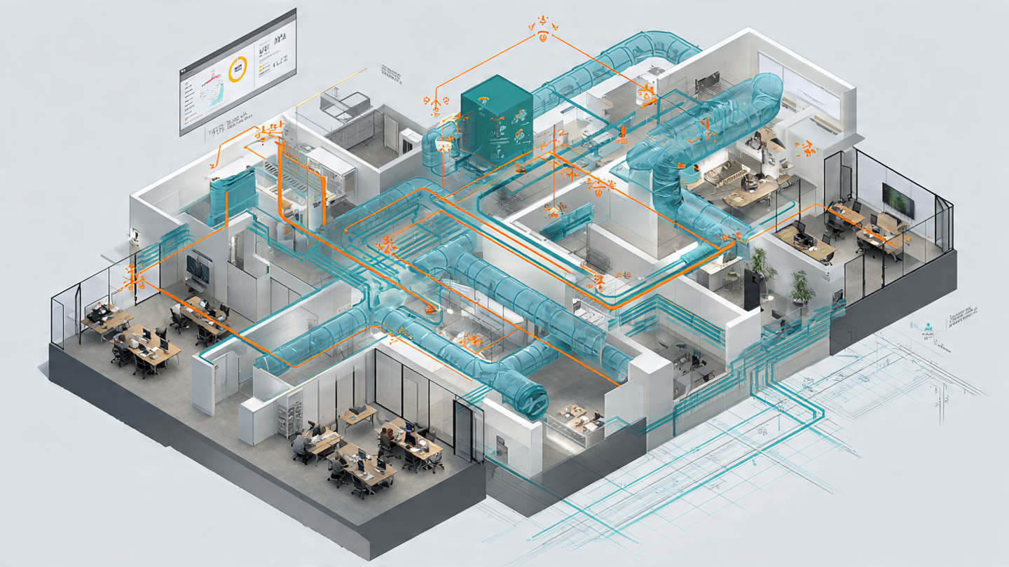
System and Method for Continuous Estimation of Room-Level Occupancy Count and Activity Classification Using Existing VAV Duct Static Pressure Sensor Networks with Physics-Informed RNN Inference
A software-only system that estimates per-room occupancy counts and classifies activity types (desk work, meetings, high activity) by analyzing existing HVAC Variable Air Volume duct pressure, airflow, and damper position telemetry with a physics-informed recurrent neural network. Requires no additional sensors, cameras, or wiring. The differentiable duct network model separates occupancy-driven thermal loads from solar gain and equipment loads, achieving target ±2 person RMSE at 15-minute resolution.
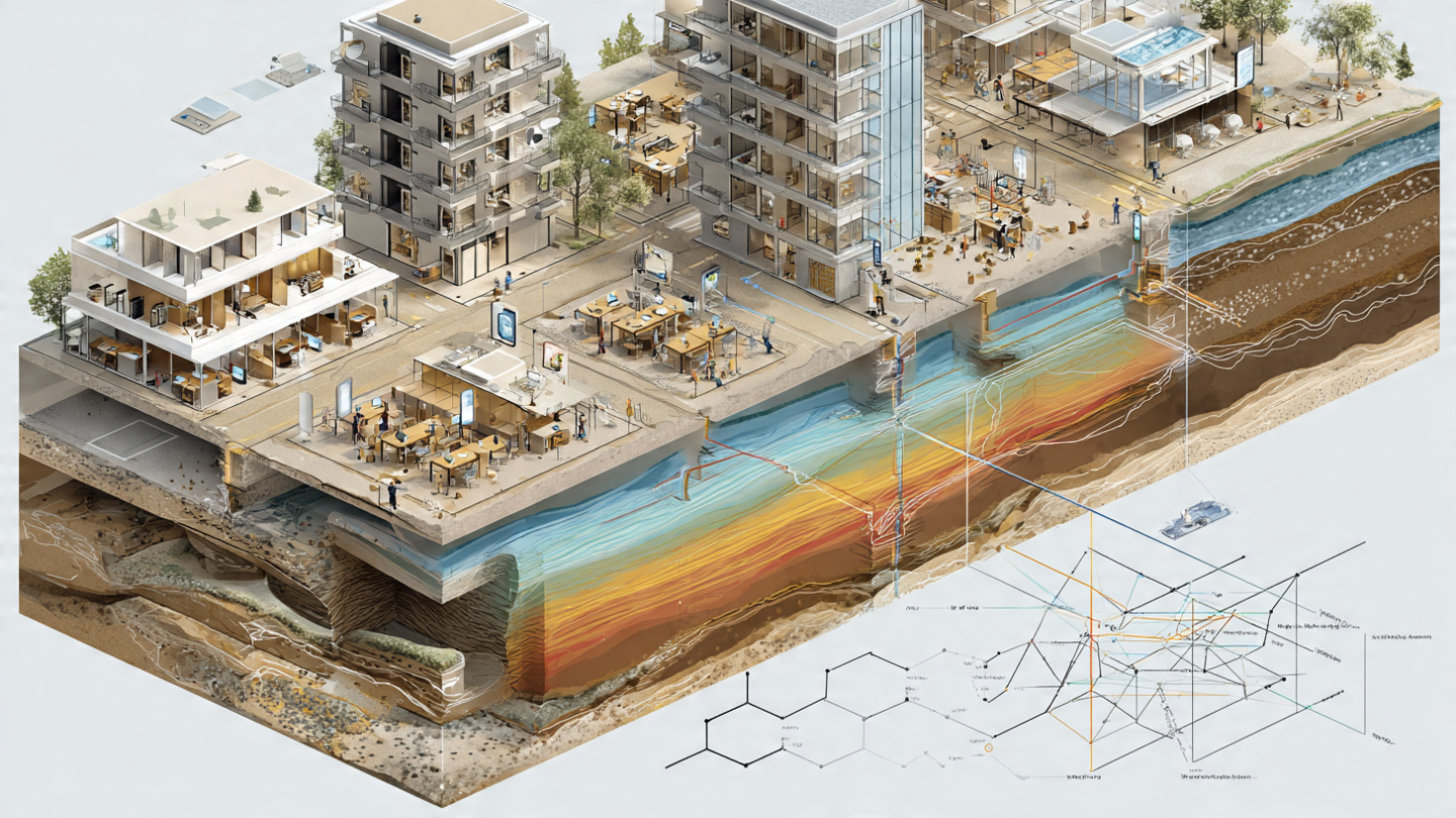
System and Method for Continuous Soil Liquefaction Susceptibility Mapping Using Crowdsourced Smartphone Accelerometer HVSR Analysis with Graph Neural Network Spatial Interpolation
A system that repurposes MEMS accelerometers in consumer smartphones to perform horizontal-to-vertical spectral ratio (HVSR) analysis of ambient seismic noise during periods of device stillness. On-device spectral processing extracts soil column resonance frequency (f₀) and amplification (A₀), transmitting only a 560-byte summary packet to a cloud GNN that interpolates between sparse measurements using geological priors. The resulting 50-meter-resolution liquefaction susceptibility maps update continuously. During earthquakes, the same network provides real-time shaking data for liquefaction nowcasts within 30 seconds of shaking onset.
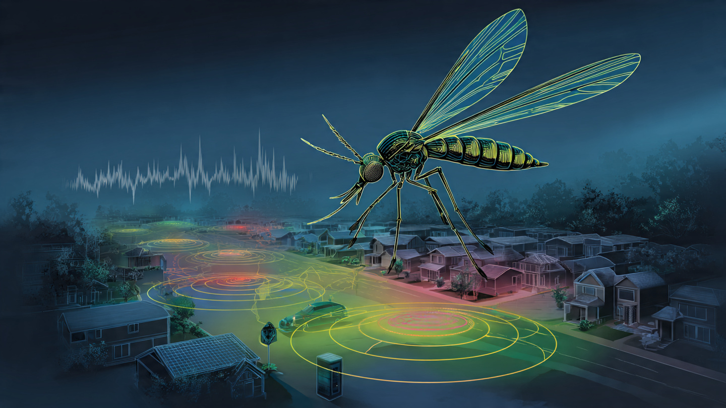
System and Method for Real-Time Mosquito Population Density Estimation and Species-Level Classification Using Distributed Acoustic Wingbeat Frequency Analysis from Consumer IoT Device Microphone Networks
A system that repurposes the microphone arrays in consumer IoT devices — smart speakers, security cameras, video doorbells, smartphones — for real-time mosquito surveillance. An 18,000-parameter edge classifier detects species-specific wingbeat frequencies (150–900 Hz) in ambient audio, transmitting only 64-byte structured detection reports to a cloud fusion engine. Gaussian process regression over a hexagonal spatial grid aggregates thousands of device detections into calibrated population density maps and species distribution overlays, providing 100-meter spatial resolution and hourly temporal resolution without any dedicated entomological hardware.
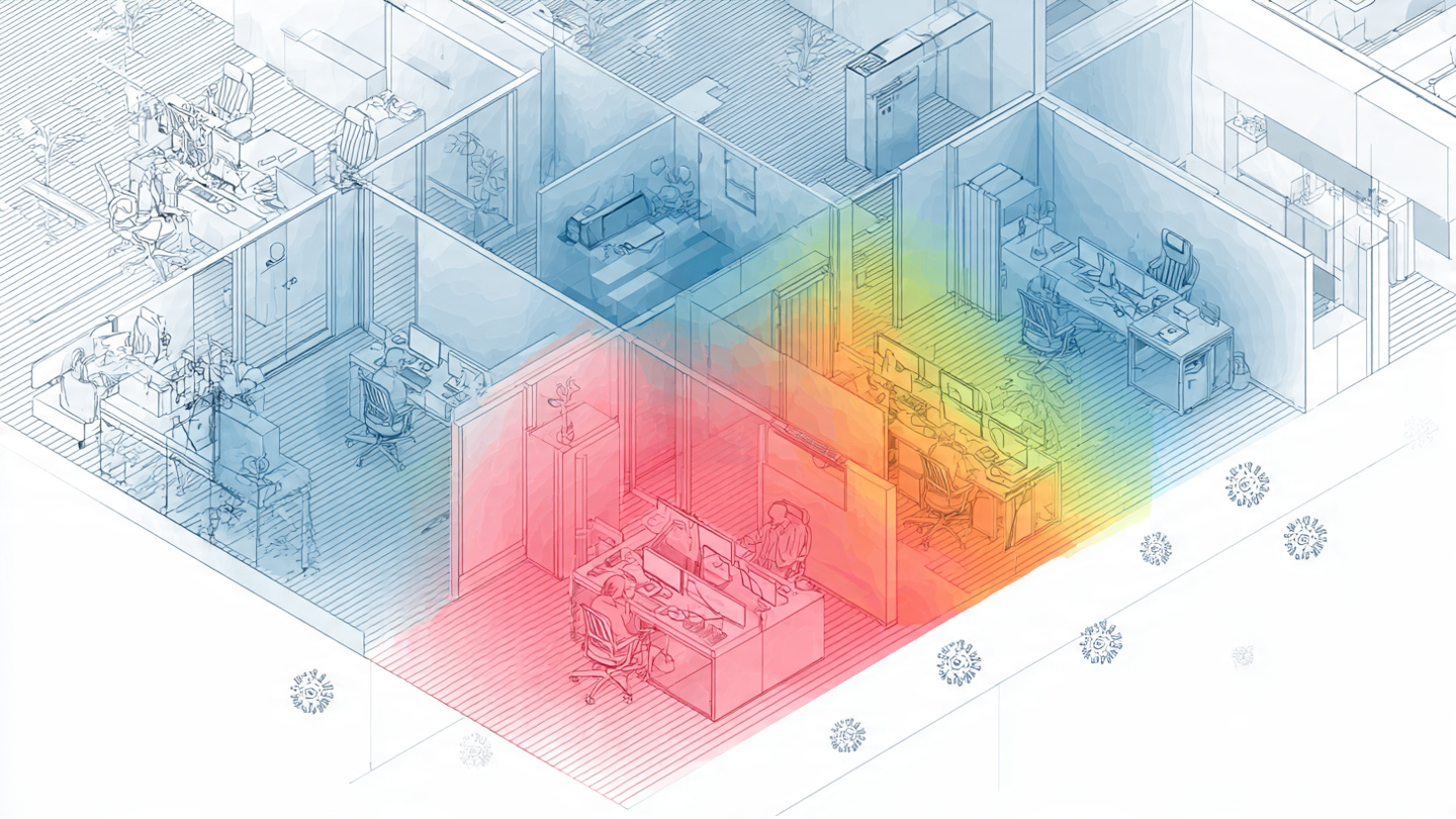
System and Method for Real-Time Indoor Airborne Infection Risk Estimation Using Consumer CO2 Sensor Concentration Decay Kinetics and Occupancy-Normalized Rebreathed Air Fraction Modeling
A system that converts consumer CO2 sensor time-series data into calibrated airborne infection transmission probabilities. Automatic ventilation rate estimation via exponential decay fitting on post-vacancy CO2 segments replaces tracer gas testing. The Rudnick-Milton reformulation of Wells-Riley computes the rebreathed air fraction in real time, while a pathogen-specific quanta engine covers SARS-CoV-2, influenza, measles, TB, and RSV. Runs on the sensor's existing microcontroller in under 100 KB firmware, outputting a continuously updated infection risk index, ventilation adequacy score, and time-to-threshold alerts with no hardware beyond a single $15-179 NDIR CO2 sensor.
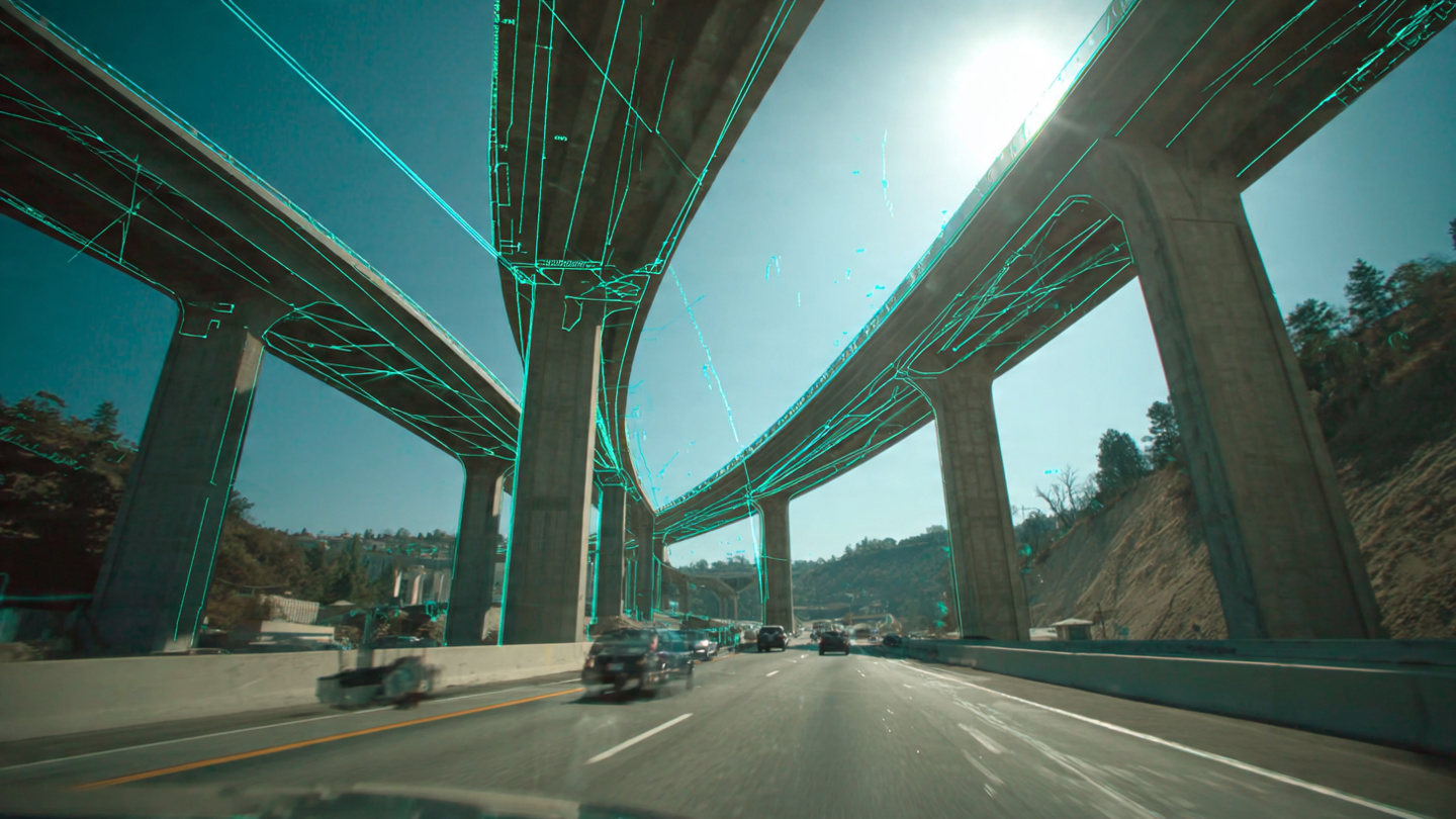
System and Method for Non-Invasive Bridge Structural Health Assessment Using Traffic-Induced Deflection Analysis from Consumer Dashcam Video with Edge-Deployed Physics-Informed Load Rating Estimation
A system that estimates bridge structural condition and load-carrying capacity by measuring traffic-induced deflection from consumer dashcam video. Sub-pixel phase-based optical flow resolves 0.05–0.25 mm vertical deck displacement from a moving vehicle, while ego-motion compensation using IMU data and fixed abutment reference features isolates the bridge response. A physics-informed Euler-Bernoulli beam model fits the measured deflection influence line to estimate effective flexural rigidity, which is compared against design values from the National Bridge Inventory. Crowdsourced across fleet vehicles, 200–500 crossings achieve ±5% EI precision per bridge at $0.02–0.05 per crossing — replacing $5,000–50,000 biennial visual inspections with continuous monitoring at zero sensor installation cost.
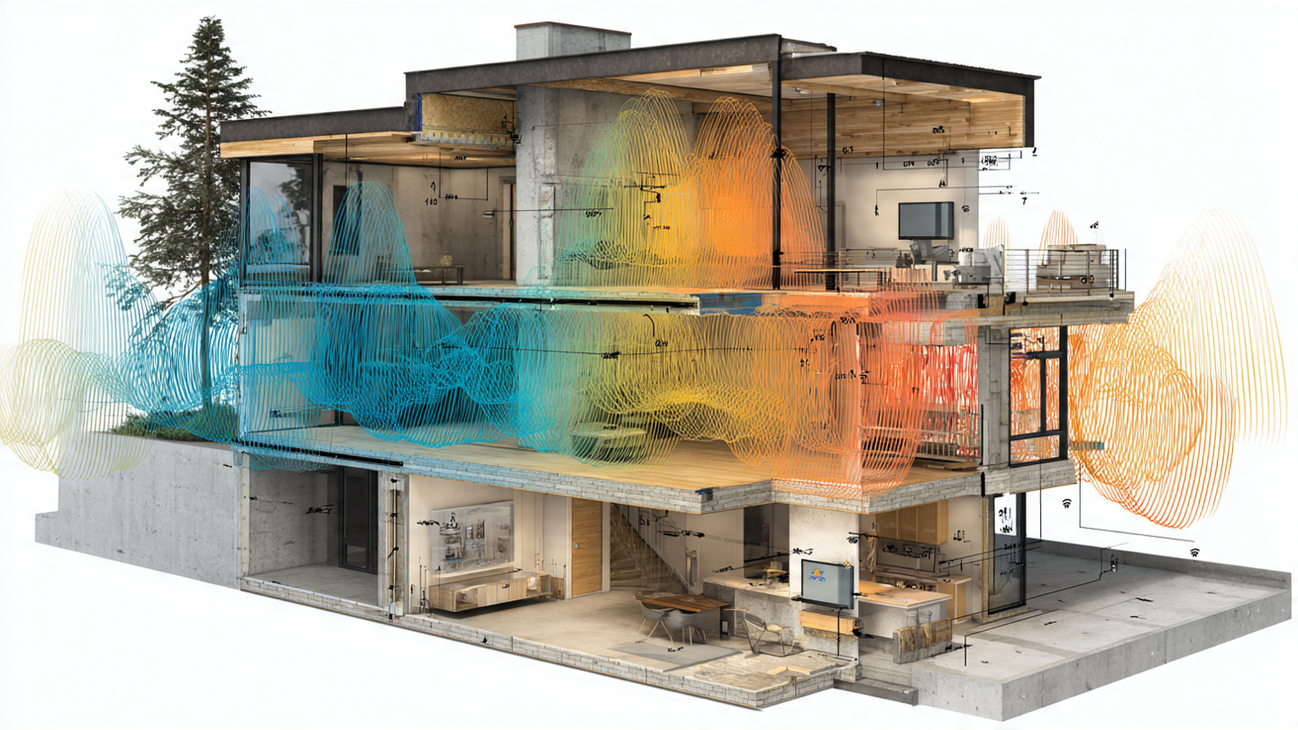
System and Method for Detecting and Localizing Concealed Moisture Intrusion in Building Envelopes Using WiFi Channel State Information from Existing Indoor Wireless Access Point Infrastructure with Temporal Deep Learning and Dielectric Anomaly Mapping
A system that detects concealed water intrusion in walls, floors, and ceilings by analyzing WiFi channel state information from existing mesh access points. Water's relative permittivity (~78 at 2.4 GHz) dwarfs dry building materials (2–8), producing measurable changes in subcarrier amplitude, frequency-selective fading, and group delay as moisture accumulates. A temporal convolutional network trained on multi-scale CSI features distinguishes slow moisture signatures from human activity and thermal cycling, while multi-link dielectric tomography localizes the intrusion to specific wall sections — all at zero incremental hardware cost.

System and Method for Continuous Non-Contact Assessment of Asphalt Pavement Structural Condition Using Traffic-Induced Vibration Transfer Function Analysis from Distributed Acoustic Sensing on Existing Telecommunications Fiber Optic Infrastructure with Recurrent Neural Network Degradation Modeling
A system that repurposes existing buried telecommunications fiber optic cables as distributed acoustic sensors to continuously monitor asphalt pavement structural condition. Traffic-induced vibrations propagate through pavement layers to the fiber, and the frequency-dependent vibration transfer function encodes layer stiffness, damping, bond condition, and moisture state. A CNN-LSTM model trained on paired DAS measurements and ground-truth pavement condition surveys (PCI, FWD, GPR) estimates current condition and predicts remaining useful life for every meter of road along the fiber route, enabling network-scale monitoring at zero incremental sensor cost.
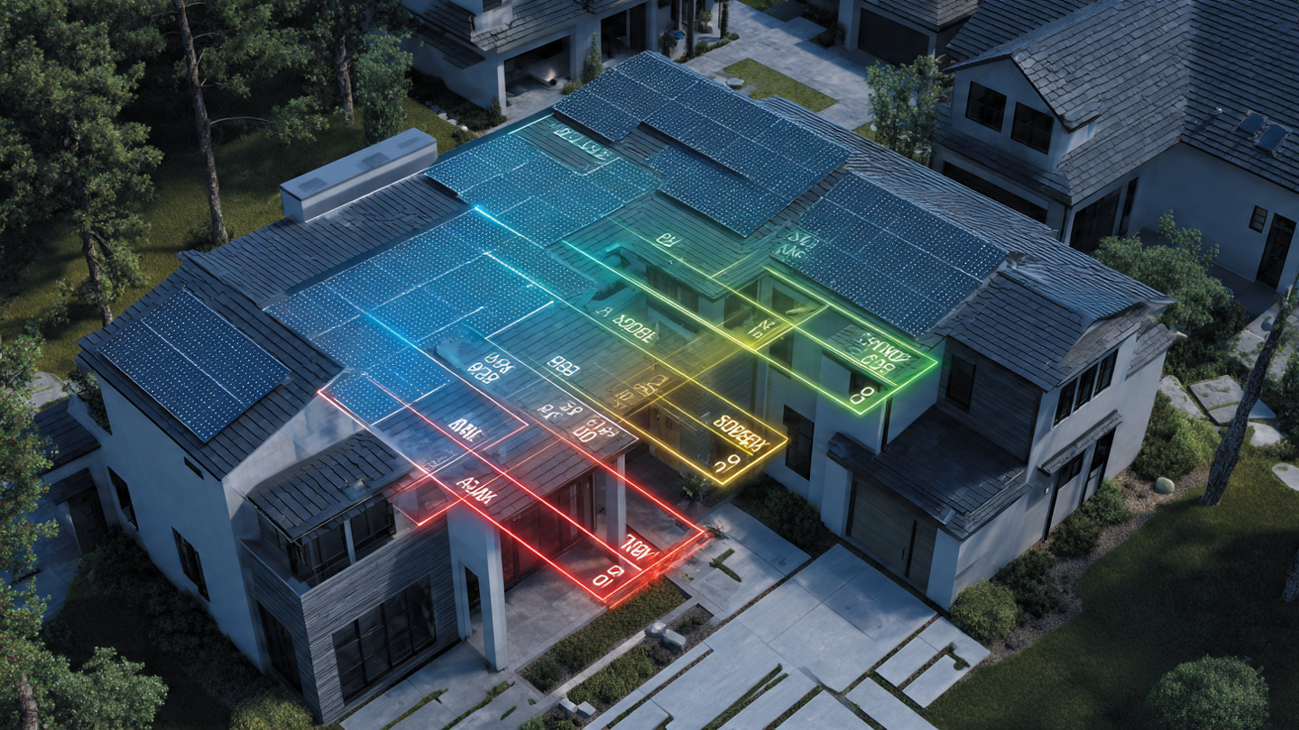
System and Method for Distributed Photovoltaic Array Fault Detection and Power Loss Attribution Using Inter-Inverter Production Correlation Analysis and Weather-Normalized Degradation Modeling
A system that detects, classifies, and quantifies faults in distributed photovoltaic installations by exploiting the statistical correlation structure of production telemetry across co-located microinverters. The system computes pairwise correlation coefficients and weather-normalized production ratios across all inverters within rolling time windows, classifying deviations into five fault categories (partial shading, soiling, cell degradation, connector resistance, inverter electronics degradation) based on each type's mathematically distinct signature in correlation-ratio feature space, then generates prioritized maintenance alerts with estimated energy loss and repair payback periods.

System and Method for Continuous Self-Calibration of Wearable Surface Electromyography Gesture Recognition Models Using Opportunistic Ground Truth Labels Derived from Concurrent Capacitive Touchscreen Input Events on Paired Devices
A system that continuously calibrates wearable sEMG gesture recognition models without explicit calibration sessions by exploiting concurrent touchscreen input events on Bluetooth-paired devices as opportunistic ground truth labels. Each touch event type (tap, swipe, pinch, keystroke) constrains the hand to a known biomechanical configuration, providing labeled sEMG training examples at a rate of 1,000–1,500 per day from natural phone usage. An on-device continual learning pipeline with elastic weight consolidation and experience replay incrementally adapts the gesture classifier to electrode shift, skin impedance drift, and cross-session variability, recovering to within 2% of peak accuracy within 45–90 minutes of natural use with zero user burden and no raw data leaving the device.
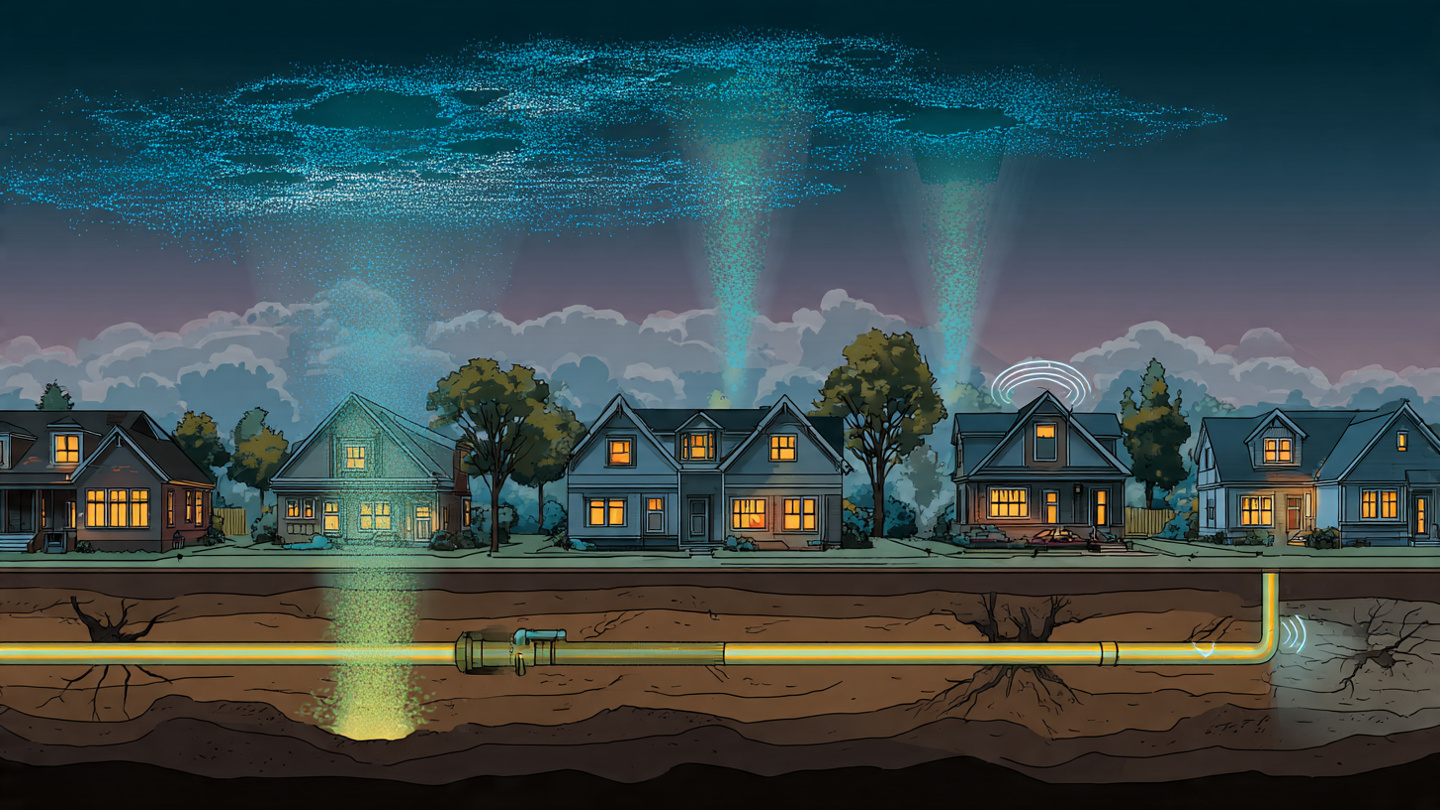
System and Method for Distributed Detection and Geolocation of Underground Natural Gas Distribution Pipeline Micro-Leaks Using Spatiotemporal Correlation of Metal-Oxide Semiconductor Gas Sensor Readings from Crowdsourced Consumer Indoor Air Quality Monitor Networks with Inverse Gaussian Plume Dispersion Modeling
A system that detects and geolocates underground natural gas pipeline micro-leaks by exploiting the metal-oxide semiconductor (MOX) gas sensors in 15–25 million deployed consumer indoor air quality monitors. MOX sensors (Sensirion SGP40, Bosch BME680, ScioSense ENS160) exhibit cross-sensitivity to methane, ethane, and mercaptan odorant at concentrations produced by nearby distribution leaks (1–1,000 ppm indoor enhancement). A cloud platform aggregates anonymized VOC readings, applies Gaussian process baseline estimation and DBSCAN spatial clustering to identify correlated anomalies, excludes indoor sources via wind direction, barometric, and stack effect correlation tests, then geolocates the subsurface leak source using MCMC-sampled inverse Gaussian plume dispersion modeling coupled with soil gas transport, achieving 30–80 meter accuracy from 5+ devices over 72 hours at zero incremental hardware cost.

System and Method for Autonomous Calibration and Drift Correction of Distributed Low-Cost Air Quality Sensor Networks Using Mobile Reference Platforms on Public Transit Vehicles with Graph Attention Network Calibration Transfer
A system deploying reference-grade air quality instruments (BAM, UV photometric O3, CAPS NO2) on municipal transit bus rooftops to provide intermittent colocation calibration events for distributed low-cost sensor networks as buses traverse fixed routes covering 60–85% of the urban street grid. Per-sensor drift models (Kalman-filtered linear → GBDT → conditional neural process) are fit from accumulated colocation data, then a graph attention network with multi-head attention over spatial, meteorological, and land-use edge features propagates calibration corrections to off-route sensors via learned atmospheric correlation structure, reducing network-wide PM2.5 RMSE from 8–12 µg/m³ to <3 µg/m³ at 5–15% the cost of equivalent stationary reference monitor coverage.
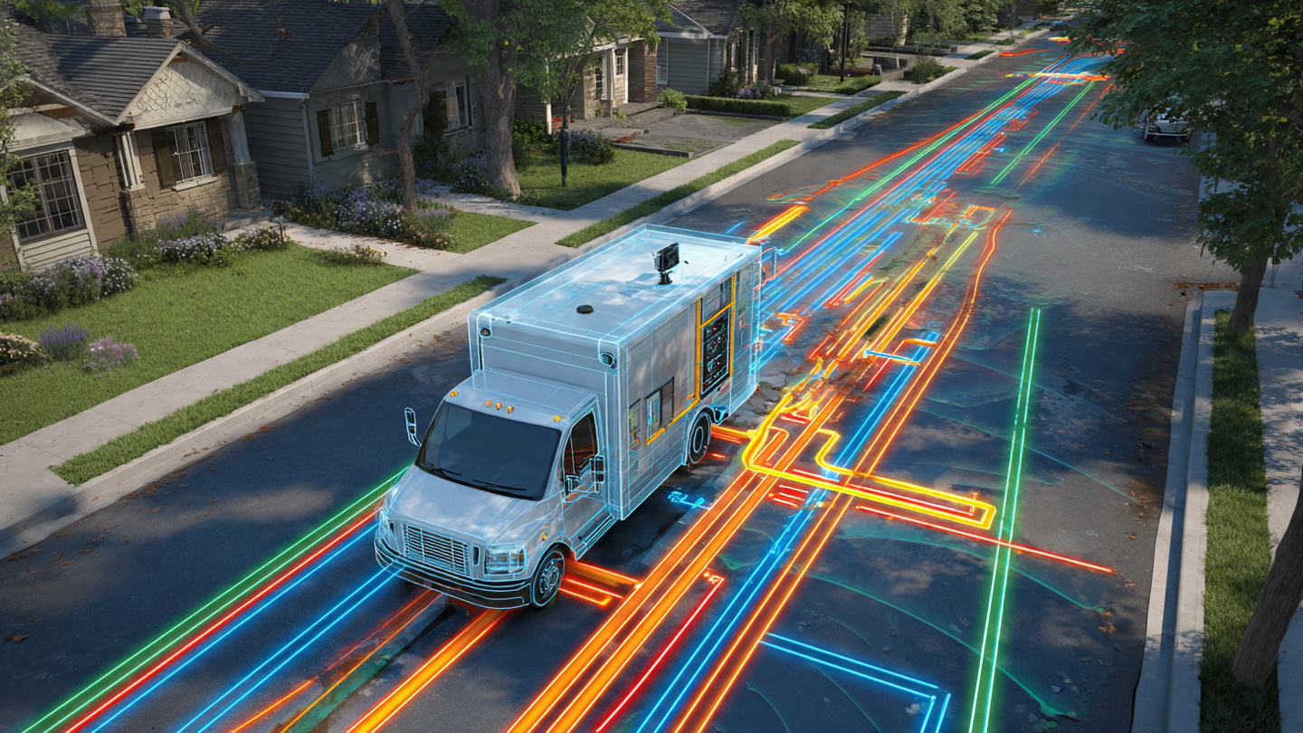
System and Method for Non-Invasive Classification of Buried Water Service Line Materials and Condition Assessment Using Vehicle-Mounted Multi-Frequency Electromagnetic Induction Arrays, Ground-Penetrating Radar, and Deep Learning Material Fingerprinting
A system deploying multi-frequency electromagnetic induction arrays (1 kHz–100 kHz, 24 data channels) and dual-frequency ground-penetrating radar on utility fleet vehicles to classify buried water service line materials (lead, copper, galvanized steel, ductile iron, PVC) by exploiting material-specific conductivity-permeability signatures: lead's low-frequency quadrature-to-in-phase crossover at 8–15 kHz, copper's higher conductivity shifting crossover below 5 kHz, ferromagnetic materials' permeability-dominated response, and plastic pipes' GPR-only dielectric reflection. A dual-branch CNN fuses EMI spectrograms and GPR radargrams for >92% material classification accuracy at driving speeds, enabling city-scale LCRR-compliant lead service line inventories at $12–18K per vehicle versus $500–3,000 per excavation.

System and Method for Autonomous Detection and Classification of Overhead Electrical Distribution Fault Events Using Infrasound and Acoustic Signatures Captured by Existing Municipal Gunshot Detection Sensor Networks with Deep Learning Spectral Fingerprinting
A system that repurposes existing municipal gunshot detection acoustic sensor networks (20–25 wideband microphones per square mile, deployed in 170+ cities) to autonomously detect, classify, and geolocate overhead electrical distribution fault events, exploiting the distinctive acoustic signatures of arc faults (120 Hz amplitude modulation), conductor clashing (0.3–2 Hz periodicity), transformer explosions (2–20 Hz infrasound), and insulator flashover (8.33 ms power-frequency-locked double pulses), applying a deep CNN classifier on MFCC spectrograms with infrasound features and TDOA multilateration for 10–25 meter geolocation, enabling sub-minute fault alerts to utility SCADA systems at zero incremental hardware cost.
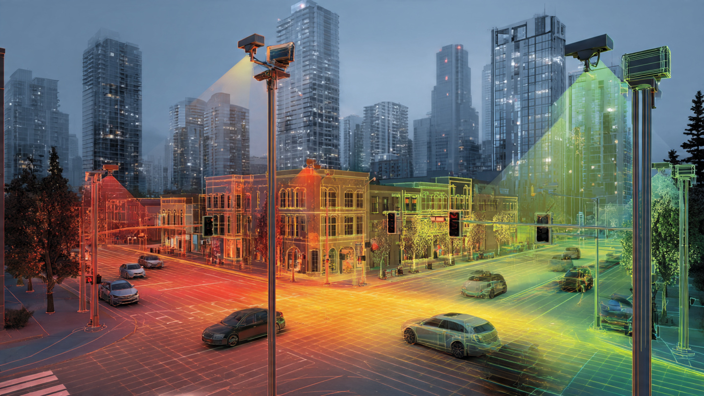
System and Method for Spatially-Resolved Atmospheric Particulate Matter Estimation Using Visible-Light Extinction Analysis from Existing Outdoor Camera Infrastructure with Neural Calibration Against Colocated Reference Monitors
A system that repurposes existing outdoor cameras (traffic, security, dashcam fleets) as hyperlocal PM2.5/PM10 sensors by analyzing visible-light extinction across reference targets at known distances, applying the Beer-Lambert-Bouguer law to compute spectral contrast attenuation, and calibrating via a CNN trained on synchronized imagery-monitor pairs, producing continuous 100-meter resolution urban air quality maps from the estimated 85 million outdoor cameras already deployed in the US at zero incremental hardware cost.

System and Method for Continuous Urban Heat Island Microclimate Mapping Using Fleet Vehicle External Temperature Sensor Telemetry, Spatiotemporal Kriging, and Land Use Regression Covariates
A system that harvests ambient air temperature from the NTC thermistors already installed in connected fleet vehicles, applies a vehicle-specific bias correction model compensating for engine heat soak, solar loading, and radiator effects, fuses corrected observations with land use regression covariates (impervious surface fraction, NDVI, sky view factor, building density), and interpolates via spatiotemporal kriging with anisotropic Matérn covariance to produce continuous street-level urban heat island maps at 50–100 m resolution, enabling heat vulnerability alerts, cool corridor routing, and urban greening ROI estimation using millions of already-connected fleet vehicles.
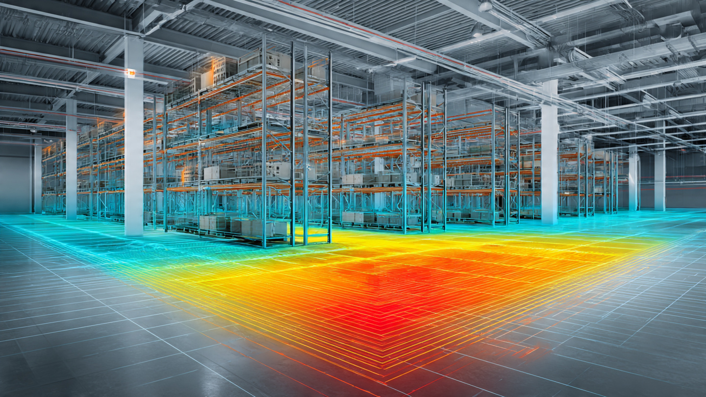
System and Method for Continuous Indoor Temperature Field Mapping Using Bluetooth Low Energy Beacon Battery Voltage Telemetry and Gaussian Process Spatial Interpolation
A system that infers ambient temperature from the battery voltage telemetry of existing BLE beacons, exploiting the electrochemical temperature coefficient of lithium coin cells (−0.3 to −0.5 mV/°C OCV, 200–400 mV IR-drop separation over 25°C under TX load) and applying Gaussian process regression with a Matérn 5/2 spatial kernel to produce continuous indoor thermal field maps with quantified uncertainty, enabling HVAC optimization, cold chain compliance, and building energy auditing at zero marginal hardware cost across billions of already-deployed beacons.
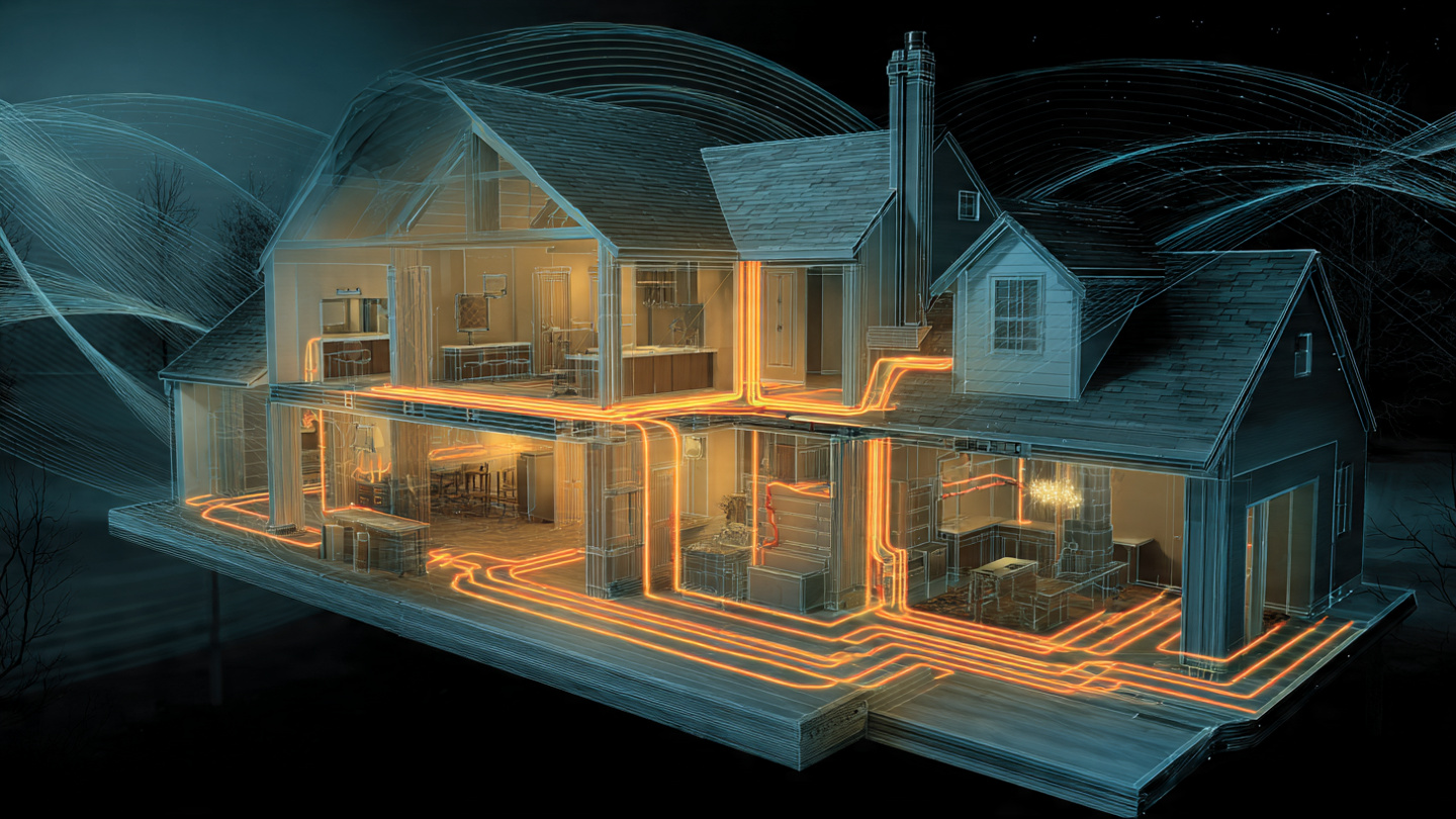
System and Method for Predictive Residential Electrical Wiring Degradation Detection Using Power Line Communication Channel State Information from Consumer Broadband-over-Powerline Adapters and On-Premises Edge Inference
A system repurposing OFDM channel estimation data from consumer broadband-over-powerline adapters to continuously monitor residential wiring health, detecting loose connections, insulation carbonization, moisture ingress, and thermal degradation through channel frequency response drift analysis, with multi-node fault localization via channel impulse response triangulation and on-premises temporal convolutional network inference.
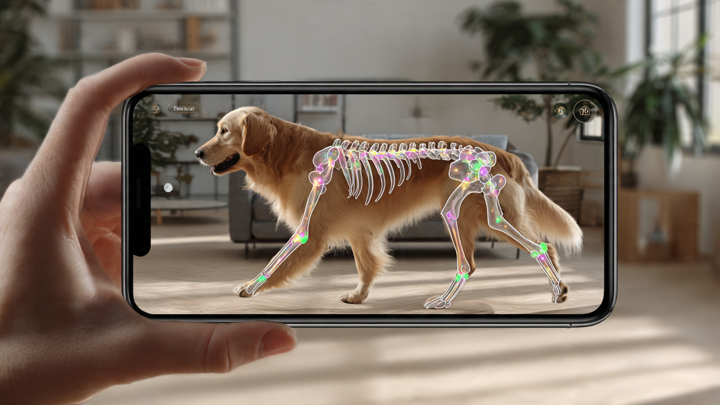
System and Method for Automated Companion Animal Health Screening Using Smartphone Video-Based Gait Kinematics Analysis, Respiratory Rate Estimation, and Longitudinal Behavioral Anomaly Detection
A system using consumer smartphone video to perform markerless pose estimation on companion animals, extracting gait kinematics, respiratory rate, and body condition score from a single capture, with breed-specific normalization and longitudinal behavioral anomaly detection for early disease identification, all running on-device with federated learning for continuous improvement.

System and Method for Non-Contact Rotating Machinery Health Assessment Using Consumer Mobile Device Acoustic Emission Analysis and Cross-Domain Transfer Learning
A system using consumer smartphone microphones to capture acoustic emissions from rotating machinery, running on-device spectral decomposition and cross-domain transfer learning from vibration datasets to classify bearing faults, gear wear, and imbalance conditions, with federated learning for continuous improvement without transmitting raw audio off-device, and Weibull survival models for remaining useful life estimation.

System and Method for Predictive Remaining Useful Life Estimation of Asphalt Pavement Using Fleet-Vehicle-Mounted Thermal Infrared Imaging and Physics-Informed Thermal Inertia Inverse Modeling
A system that estimates remaining useful life of asphalt pavement at city scale using thermal inertia measurements from low-cost LWIR cameras on fleet vehicles, computing apparent thermal inertia via Bayesian inversion of a 1-D heat conduction model against multi-pass surface temperature observations, and predicting segment-level remaining useful life through a spatiotemporal convolutional neural network that detects subsurface degradation 12 to 24 months before visible distresses appear.
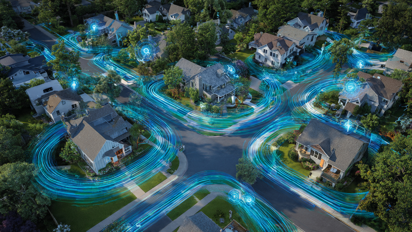
System and Method for Municipal Water Distribution Network Leak Detection and Localization Using Crowdsourced Pressure Telemetry from Consumer Smart Water Meters and Physics-Informed Graph Neural Networks
A system that detects and localizes leaks in municipal water distribution mains by aggregating high-frequency pressure telemetry from networks of consumer-grade smart water meters, using time-difference-of-arrival analysis of pressure transients propagating through the pipe network and a physics-informed graph neural network whose topology mirrors the utility pipe infrastructure, with privacy-preserving differential pressure reporting that prevents inference of household usage patterns.
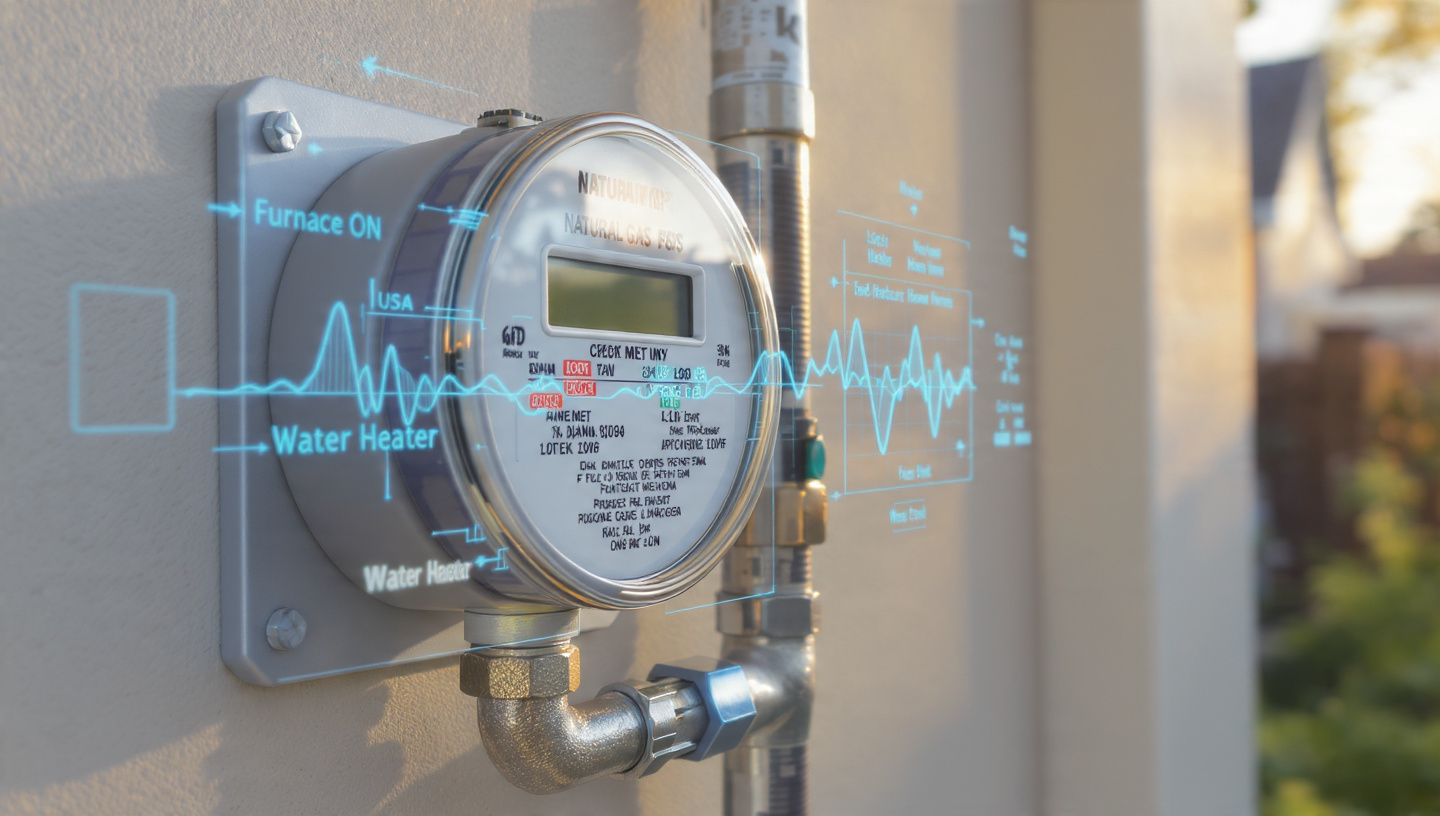
System and Method for Non-Intrusive Residential Natural Gas Appliance Load Disaggregation Using Meter-Point Pressure Waveform Transient Analysis and Edge-Deployed Source Separation Neural Networks
A system that identifies individual natural gas appliances and estimates per-appliance consumption from a single high-resolution pressure transducer at the gas meter, using valve-opening transient signatures including onset slope, ring-down reflection patterns, and steady-state pressure offsets processed through a convolutional source separation network that resolves overlapping multi-appliance activations and enforces global flow consistency against the total metered flow.

System and Method for Continuous Urban Tree Health Assessment and Predictive Mortality Mapping Using Opportunistic Multi-Pass Spectral Imaging from Municipal Fleet Vehicles and Spatiotemporal Graph Neural Networks
A system that continuously monitors the health of individual urban trees by mounting multispectral cameras (RGB + NIR) on municipal fleet vehicles such as refuse trucks and street sweepers, performing on-device canopy segmentation and spectral index computation, resolving tree identities across multiple vehicle passes, and predicting 6-month mortality risk via a spatiotemporal graph neural network that models spatial relationships between neighboring trees to detect correlated decline from pests, disease, or shared environmental stress.
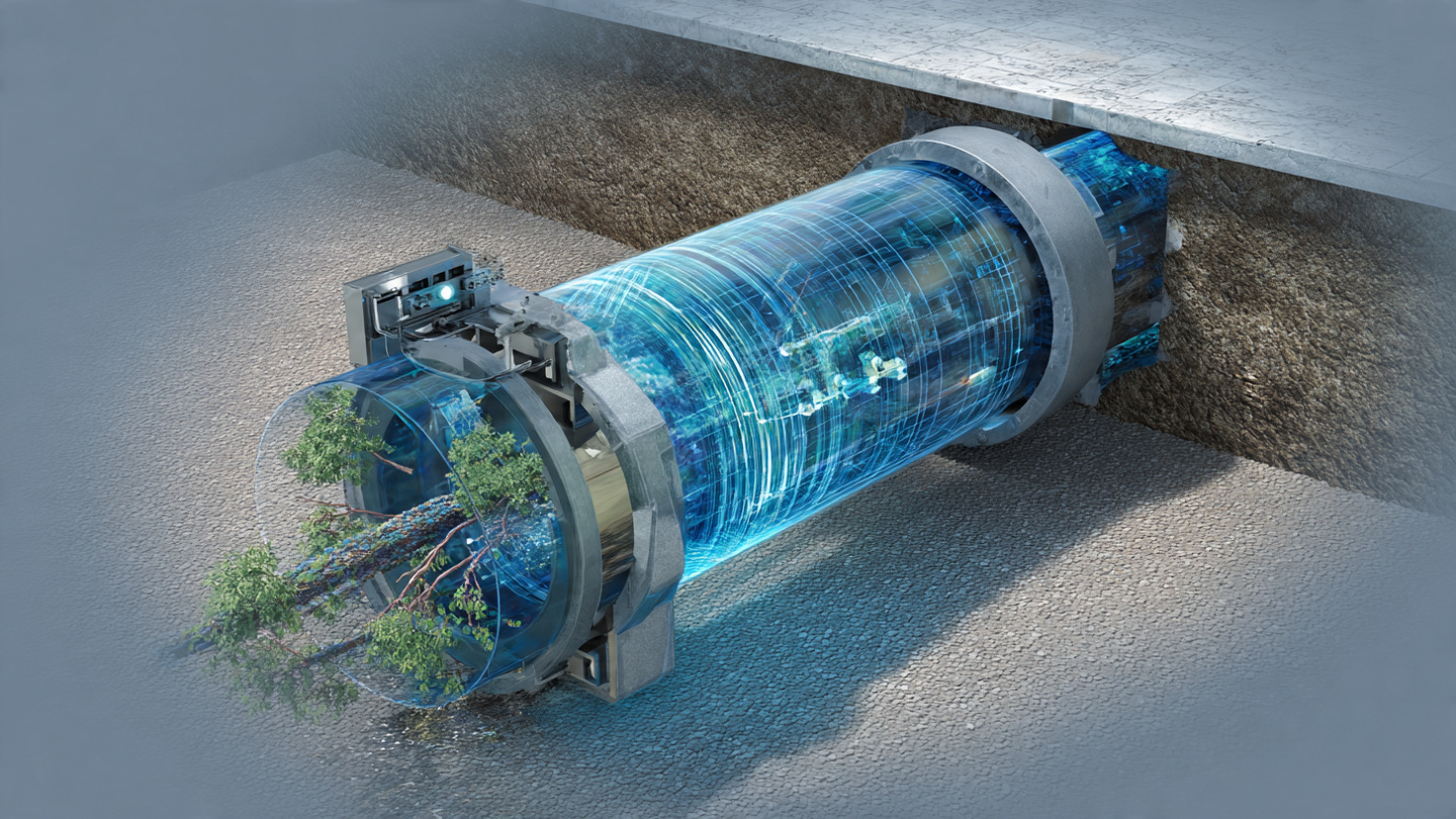
System and Method for Non-Invasive Sewer Lateral Condition Assessment and Predictive Blockage Detection Using Residential Fixture Drain Acoustic Emission Analysis and Edge-Deployed Spectral Neural Networks
A system that detects developing sewer line blockages and pipe deterioration by capturing acoustic emissions from ordinary residential drain events (toilet flushes, sink usage, shower flow) using a waterproof MEMS microphone at the building cleanout, extracting spectral features including pipe resonance splitting caused by partial obstructions, classifying seven condition states via an edge-deployed CNN, and tracking longitudinal spectral drift to predict time-to-blockage weeks before catastrophic failure.

System and Method for Continuous Indoor Radon Concentration Estimation Without Dedicated Radon Sensors Using Smart Home Barometric Pressure Differential Time-Series, Soil Permeability Transport Models, and Edge-Deployed Physics-Informed Neural Networks
A system that estimates indoor radon concentration without dedicated radon detectors by analyzing barometric pressure differential time-series from existing smart home sensors (thermostats, weather stations, smartphones), computing foundation-level indoor-outdoor pressure differentials accounting for stack effect, wind depressurization, and HVAC mechanical depressurization, and processing these through a physics-informed neural network embedding the Nazaroff advective soil-gas transport equation conditioned on USGS soil radon potential maps, generating continuous radon risk alerts and preemptive ventilation recommendations.
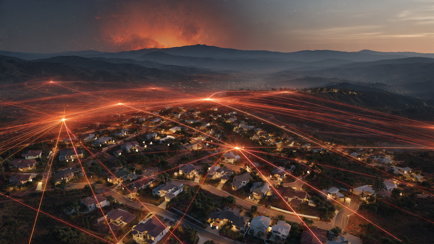
System and Method for Early Wildfire Detection and Ember Transport Corridor Prediction Using Distributed Consumer Weather Station Microclimate Anomaly Fusion and Physics-Informed Neural Networks
A system that fuses barometric pressure microvariations, wind vectors, temperature anomalies, humidity drops, and particulate matter data from the existing network of consumer weather stations to detect wildfire ignition events via spatiotemporal graph neural networks and predict ember transport corridors using physics-informed neural networks embedding Rothermel fire spread and Albini ember lofting models, issuing geofenced alerts to residents in predicted ember landing zones 15–45 minutes before ember arrival.

System and Method for Non-Invasive Continuous Building Envelope Thermal Performance Assessment Using Smart Thermostat Heating and Cooling Response Curve Analysis with Edge-Deployed Machine Learning
A system that continuously infers building envelope thermal resistance and infiltration parameters from heating and cooling response curves already recorded by commodity smart thermostats, cross-referenced with public weather API data, using a Bayesian state-space model to track degradation over months and years and generate actionable alerts for insulation failures, air seal defects, and moisture intrusion events without requiring any additional hardware, sensors, or site visits.

System and Method for Non-Intrusive Residential Water End-Use Disaggregation and Anomalous Flow Detection Using Smart Meter Hydraulic Transient Fingerprinting, Blind Source Separation, and Self-Supervised Contrastive Learning
A system that disaggregates whole-house water consumption into per-fixture end-use categories using hydraulic pressure transient signatures captured by existing smart water meters, applies non-negative tensor factorization for blind source separation of concurrent fixture events, and trains a temporal convolutional network via self-supervised contrastive learning across a utility service territory without labeled data, enabling per-fixture water accounting and real-time leak detection at less than $15 incremental hardware cost per meter.

System and Method for Continuous Road Surface Friction Coefficient Estimation Using Crowdsourced Vehicle Tire-Road Acoustic Emission, Wheel Speed Sensor Micro-Slip Analysis, and Self-Supervised Contrastive Learning for Real-Time Friction Mapping
A system that fuses tire-road acoustic emission captured by existing vehicle cabin microphones with wheel speed sensor micro-slip ratios during normal driving, trains a friction estimation model via self-supervised contrastive learning using cross-vehicle consistency on shared road segments, and aggregates per-vehicle estimates into real-time spatiotemporal friction maps served to navigation and autonomous driving systems, requiring no new hardware on vehicles manufactured after 2020.
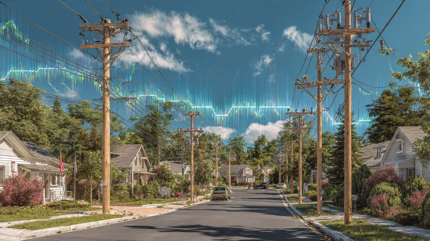
System and Method for Real-Time Distribution Transformer Incipient Fault Detection and Remaining Useful Life Estimation Using Smart Meter Voltage Harmonic Spectrum Analysis and Federated Graph Neural Networks
A system that detects incipient distribution transformer faults by analyzing voltage harmonic spectra from existing smart meters using a federated graph neural network that models the radial distribution network topology, distinguishing transformer-originated harmonics from load and feeder sources, enabling per-transformer remaining useful life estimation at zero marginal hardware cost via firmware updates to deployed AMI meters.
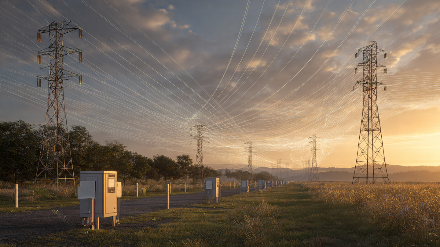
System and Method for Real-Time Power Transmission Line Conductor Sag Estimation and Dynamic Line Rating Using Ground-Level Triaxial Magnetometer Arrays and Physics-Informed Recurrent Neural Networks
A system that deploys low-cost triaxial magnetometer arrays at ground level within transmission line rights-of-way, measures the 60 Hz magnetic field gradient produced by overhead conductors, and solves the inverse problem of conductor height estimation using a physics-informed recurrent neural network encoding the Biot-Savart law and IEEE 738 thermal balance equations, enabling real-time dynamic line rating that safely increases transfer capacity by 15–40% at $85 per sensor node with no conductor contact required.

System and Method for Real-Time Urban Flash Flood Depth Prediction and Dynamic Pedestrian-Vehicle Routing Using Distributed Stormwater Level Sensor Networks, LiDAR-Derived Digital Elevation Models, and Physics-Constrained Graph Neural Networks
A system that deploys low-cost ultrasonic water level sensors inside storm drain manholes and catch basins, fuses real-time hydraulic observations with NEXRAD radar rainfall data and municipal pipe network GIS, and uses a physics-constrained graph neural network to predict street-level flood depths 15–60 minutes before overflow occurs, feeding a routing API that dynamically reroutes pedestrians and vehicles around predicted inundation zones.

System and Method for Continuous Crop Water Stress Detection and Precision Irrigation Scheduling via Contactless Monitoring of Plant Xylem Cavitation Acoustic Emissions Using Ultrasonic MEMS Microphone Arrays and Edge-Deployed Neural Networks
A system that detects crop water stress by listening to ultrasonic clicks produced by xylem cavitation events using contactless MEMS microphone arrays positioned near plant stems, classifying stress levels with an on-device temporal convolutional network, and triggering precision irrigation only when and where plants signal physiological need, targeting 20–40% water savings over timer-based or soil-moisture-only systems at $13 per monitored plant.

System and Method for Non-Invasive Refrigerant Charge Estimation in Vapor-Compression HVAC Systems via Compressor Motor Current Signature Analysis and Edge-Deployed Time-Frequency Neural Networks
A system that estimates refrigerant charge level by clamping a $3 split-core current transformer around the compressor power cable and analyzing the motor current waveform's time-frequency signature with an on-device CNN, detecting ±5% charge deviations and fault conditions (liquid slugging, active leaks, valve wear) without any refrigerant-side instrumentation, EPA certification, or system downtime.

System and Method for Continuous Subsurface Void Detection Beneath Roadway Surfaces Using Fleet-Vehicle-Mounted Acoustic Resonance Sensing and Edge-Deployed Spectral Convolutional Neural Networks
A system that repurposes ordinary municipal fleet vehicles (transit buses, refuse trucks, street sweepers) as mobile subsurface void detectors by mounting low-cost MEMS accelerometer arrays and contact microphones to vehicle undercarriages, analyzing the tire-road vibroacoustic coupling signature with an on-device spectral CNN, and aggregating multi-pass observations via Bayesian spatial fusion to build probabilistic city-scale void hazard maps without dedicated survey equipment.
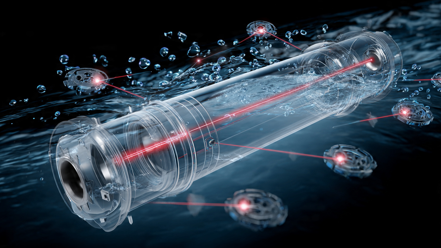
System and Method for Continuous Microplastic Detection and Polymer-Type Classification in Municipal Water Distribution Systems Using Inline Multi-Angle Light Scattering and On-Device Neural Network Particle Identification
An inline flow-through optical cell using a 635 nm laser and eight-angle photodetector array that produces Mie scattering profiles for each particle, classified by an on-device 1D-CNN into polymer type (PE, PP, PS, PET, nylon) and size bin, enabling continuous real-time microplastic monitoring across water distribution networks at under $120 per sensor node.
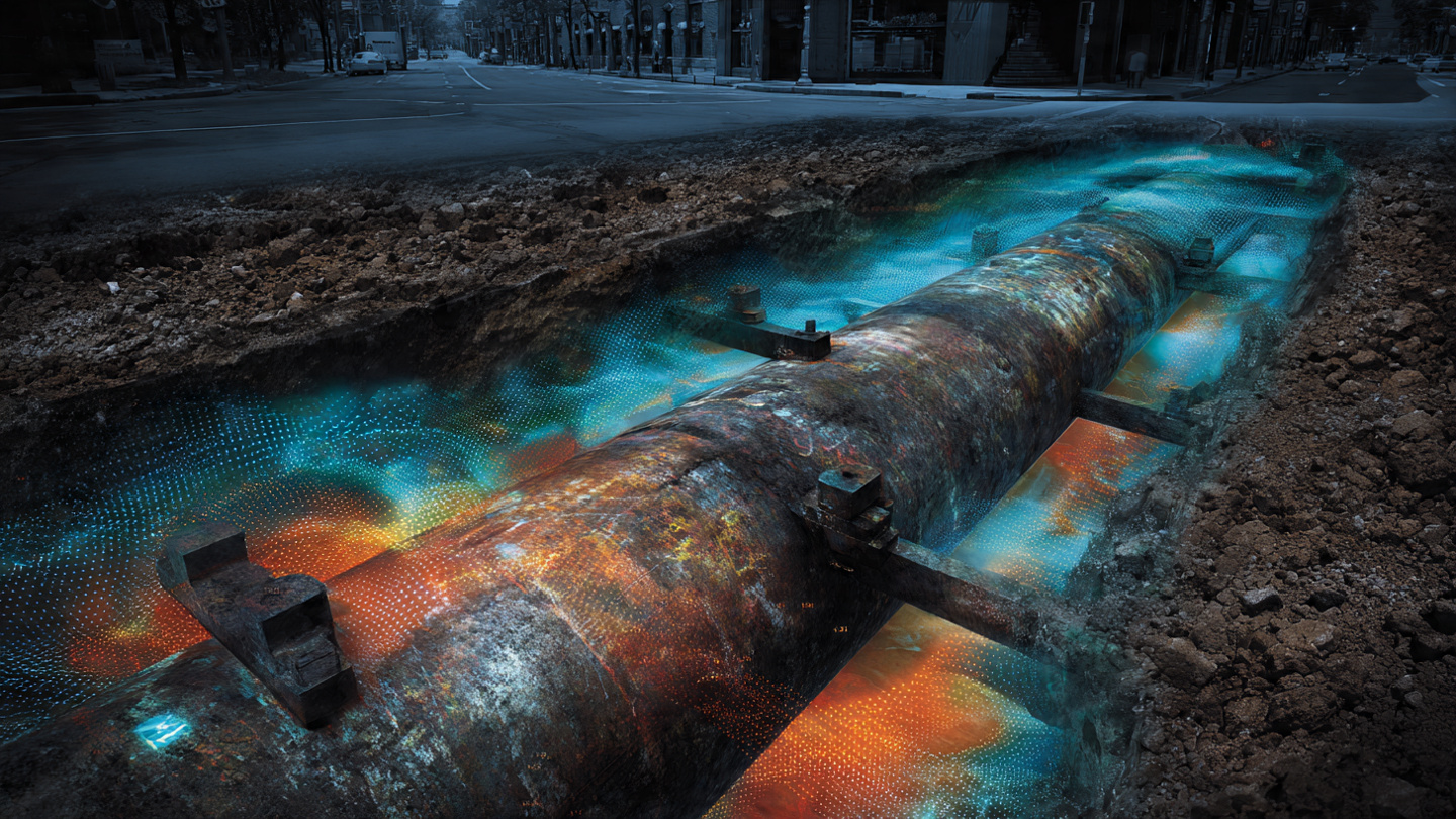
System and Method for Non-Invasive Buried Pipe Condition Assessment Using Surface-Mounted Vibro-Acoustic Sensor Arrays and Physics-Informed Graph Neural Networks
A non-invasive system that deploys piezoelectric accelerometers at fire hydrants and valve boxes, propagates guided elastic waves through buried pipe walls, and uses a physics-informed graph neural network encoding network topology to infer pipe material, wall thickness, corrosion grade, and remaining useful life without excavation.

System and Method for Continuous Neurodegeneration Screening via Consumer Wearable Gait Microanalysis
An on-device inference pipeline that detects sub-clinical gait asymmetries from consumer IMU data, generating a longitudinal neurodegeneration risk score without cloud connectivity or clinical hardware.

System and Method for Automated Detection of Contradictions in Municipal Code Using Large Language Models
An LLM-based pipeline that ingests complete municipal code corpora, identifies logical contradictions between ordinances, and generates structured conflict reports with citation chains for legislative review.
System and Method for Passive Structural Health Monitoring of Bridges Using Consumer Smartphone Accelerometers and Computer Vision
A crowdsourced system combining smartphone accelerometer data from vehicles crossing bridges with periodic computer-vision crack detection from dashcam footage, generating structural health scores without dedicated sensor installations.

System and Method for Real-Time Pollinator Census in Agricultural Fields Using Edge-Deployed Bioacoustic Classification
A distributed network of low-cost MEMS microphone nodes running on-device audio classification models to identify, count, and map pollinator species activity across agricultural parcels in real time, enabling precision pollination management.

System and Method for Synthetic Grid Inertia Generation Using Coordinated Electric Vehicle Battery Discharge with Predictive Frequency Deviation Modeling
A hierarchical control system that monitors grid frequency in real time and coordinates millisecond-scale power injection from distributed EV batteries to provide synthetic rotational inertia, replacing retiring synchronous generators without dedicated grid-scale storage.

System and Method for Real-Time Multilateral Settlement Netting Across Heterogeneous Payment Rails Using Graph-Based Obligation Compression
A settlement engine that ingests payment obligations from multiple rails (ACH, Fedwire, SWIFT, RTP, stablecoin ledgers), constructs a real-time obligation graph, and computes optimal multilateral netting sets that reduce gross settlement volume by 60-80%, lowering systemic liquidity requirements without requiring participants to share a single ledger.
About Publication and Prior Art
Publishing technical material online may create evidence relevant to a later patent analysis. It does not automatically make the material dispositive prior art or establish the date from which it can be used. Under 35 U.S.C. § 102, the analysis turns on the claimed invention, its effective filing date, and whether earlier material was sufficiently available to the public. For Internet material, public accessibility and the date of public posting depend on the evidence and surrounding facts.
A reference relied on for anticipation must describe the claimed invention and provide an enabling disclosure to a person of ordinary skill in the art, although non-enabling material may still be relevant to other patentability questions. Source-control history can help document versions, but a commit, SHA, or displayed timestamp does not by itself guarantee a legally effective publication date, public accessibility, permanence, or provenance. See MPEP § 2121 and MPEP § 2128.
CC0 addresses copyright and related rights in a work; it does not waive patent or trademark rights or clear third-party rights. Publication here does not establish novelty, patentability, invalidity of any claim, freedom to operate, or public-domain status.
This is general information, not legal advice. Consult qualified counsel about a specific disclosure, patent, or planned implementation.