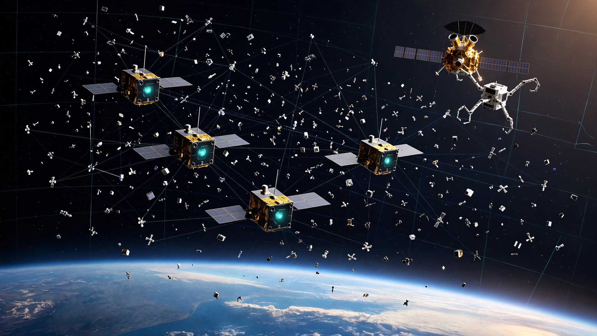
200 orbits corrected without a single call to Earth, using cameras that already existed on satellites launched for entirely different reasons.
On August 17, NASA announced that its Starling CubeSat swarm demonstrated FALCON, the Fast Autonomous Lost-in-space Catalog-based Optical Navigation system that lets spacecraft determine their position by observing other spacecraft. No GPS. No ground radar. Just star trackers, a catalog of 20,000 objects maintained by Space-Track.org, and flight software from Stanford spinout EraDrive. During three days in low Earth orbit, it located its host and refined paths for more than 200 other objects with better accuracy than ground stations provided, according to Roger Hunter at NASA Ames.
330 kilometers above the Pacific, a different demonstration is failing in real time.
Katalyst Space Technologies launched LINK on July 3, an 880-pound servicer built in nine months under a $30 million contract to rescue the $500 million Neil Gehrels Swift Observatory, a gamma-ray telescope watching bursts since 2004 that has no propulsion and has sunk from 600 kilometers to about 338 kilometers as solar activity swelled the atmosphere. LINK was supposed to grab Swift with three robotic arms and tow it back to 600 km. Three weeks after launch it began spinning when two of three reaction wheels died. By August 6 engineers had cut spin from 9 degrees per second to 1.47 using electric propulsion, but rendezvous slipped to late August while NASA uploads new controllers for a crippled spacecraft and Swift keeps falling toward an altitude where rescue becomes propellant-prohibitive.
One mission fails because hardware broke at the moment when centimeter-level control matters most. Another succeeds because it added no hardware and actually benefits when cameras tumble and sweep more sky, revealing a design principle that will decide which billion-dollar assets get saved this decade and which become fireballs, especially as low Earth orbit fills with 60,000 active satellites that all need to avoid each other without overwhelming ground tracking.
The $30 Million Math
Swift cannot be replaced. No successor is funded, planned, or on the drawing board.
Initial build was about $250 million in 2004 per The Times, lifecycle value $500 million per Reuters. Astronomy.com reported 50 percent chance of reentry by mid-2026 and 90 percent by year end. NASA ops was $6 million FY2024, proposed $4.5 million 2026 per SpaceNews. If LINK succeeds, a 100-mile boost extends life a decade per SatNews, preserving time-domain astronomy with no backup.
| Metric | Value | Math |
|---|---|---|
| Rescue contract | $30M | Firm-fixed-price |
| Asset at risk | $500M | Replacement |
| Leverage | 16.7x | 500 / 30 |
| Cost per extended year | $7.5M | 3M vehicle + 4.5M ops |
| New telescope per year | $50M | 500M / 10 |
| Cheaper to rescue | 6.7x | 50 / 7.5 |
| GRBs over decade | ~3,650 | 1/day × 10 yrs |
| Cost per burst | $20,548 | 7.5M / 365 |
You could fail 16 rescue missions at $30 million each and still spend less than building a new Swift, which means economics justify a second attempt even if LINK never recovers, especially since Swift triggers Hubble, Fermi, and JWST for follow-up observations that multiply its value far beyond its own detections and represent capability NASA cannot afford to lose without any backup in development.
Physics imposes a harder deadline. Swift hits roughly 300 kilometers in October per mlq.ai, with a hard floor near 185 miles per The Times where drag makes rescue propellant-prohibitive, meaning any retry must launch within months while solar maximum continues expanding the thermosphere beyond models that already underestimated decay by 25 miles in early 2026.
Why Software Worked While Hardware Wobbles
LINK failed the way first-time servicing missions usually fail, losing attitude control at the moment when centimeter-level precision matters most for capturing a non-cooperative target moving at 7.6 kilometers per second without standardized docking fixtures.
Reaction wheels are spinning flywheels that let satellites point without propellant. Lose two of three and you lose three-axis stability entirely, which LINK experienced as multi-axis spin with bus resets and sporadic comms per The Register, a failure mode electric thrusters can partially correct for despin but cannot fully replace when docking requires holding relative position while extending three robotic arms toward an aging telescope whose insulation has weathered space for two decades.
FALCON sidesteps precision pointing entirely by treating imperfect attitude as additional sky coverage rather than mission failure, repurposing hardware already onboard most satellites and turning each satellite into a mobile tracking station that contributes to space domain awareness rather than consuming it.
Star trackers are standard on most satellites, photographing star fields to determine orientation. EraDrive's Era-Core repurposes those cameras to photograph other satellites and debris, matching dots against an onboard catalog of about 20,000 objects from Space-Track.org, then solving for its own orbit by measuring angles to multiple known objects without GPS, ground contact, or range data, a technique that works even when tumbling because tumbling cameras sweep more sky.
NASA says two capabilities were demonstrated, each significant alone but powerful together for future servicing beyond Earth where GPS does not exist.
First, self-orbit determination using other space objects as references, which NASA called a first for optical cameras navigating by relative position, removing dependence on Global Navigation Satellite Systems that become unreliable beyond Earth where signal strength drops by 56 decibels per NASA SCaN studies.
Second, catalog refinement where FALCON correlated observations with the loaded catalog to estimate not just its own location but everyone else's, producing better predictions onboard than ground stations provided and improving 200-plus objects in three days without ground intervention.
Later this year Starling's four spacecraft will share tracking data and refine positions collectively per NASA Ames, creating a distributed sensor network where each node improves every other node's estimate through geometric diversity that fixed ground stations cannot replicate, a pattern that becomes exponentially more valuable as more nodes join because each additional observer reduces uncertainty for the entire catalog.
| Scenario | Objects/day | Annual | Hardware cost |
|---|---|---|---|
| 1 Starling (demonstrated) | 66.7 | 24,355 | Zero |
| 4 Starling swarm (late 2026) | 266.8 | 97,382 | Zero |
| 100 LEO sats with Era-Core | 6,670 | 2.43M | Near zero |
| Ground SSN | 47k tracked | Daily, hours latency | $1.8B/year |
At $1.8 billion divided by 47,000 objects, ground tracking costs about $38,297 per object per year, while FALCON's marginal cost approaches zero for satellites already carrying star trackers, creating an asymmetry that becomes critical when constellations exceed 60,000 satellites and conjunction alerts suffer 70 percent false positives due to stale catalogs that waste propellant and interrupt science for maneuvers that were never necessary.
Cislunar implications are sharper because GPS at lunar distance is essentially unusable, Deep Space Network time costs about $1,400 per hour and is oversubscribed with three complexes serving 40-plus missions, and Artemis plans 30-plus assets by 2030 per NASA OIG, requiring 30 hours of DSN time daily when lunar allocation is roughly 21.6 hours, a bottleneck FALCON eliminates for routine navigation while providing resilience during outages that currently leave missions blind.
The Strongest Case Against This
Optical navigation using catalogs risks circular reasoning that produces confidently wrong answers at scale, since you need an accurate catalog to determine position but need accurate position to update the catalog, and if initial Two-Line Elements have kilometer-level errors, which they routinely do, FALCON could lock onto wrong identifications and propagate errors while reporting improved accuracy relative to stale ground predictions that were already incorrect.
LINK's failure proves servicing is a control problem, not navigation, because knowing Swift's location to meters does not give you working reaction wheels or thrusters, LunaNet plus DSN already exists as a billion-dollar solution for lunar navigation, and angle-only navigation has fundamental limits on range observability that no filter can fully overcome from a single moving platform without absolute range measurements.
That critique deserves serious engagement, because circularity is real, angle-only systems have limits, and hardware failures cannot be fixed by software alone, especially when docking requires centimeter-level control that FALCON was never designed to provide and that LINK lost when its wheels failed in the first weeks after launch.
Counterpoints matter. NASA bootstrapped with the Department of War catalog but demonstrated divergence where onboard predictions outperformed ground values, indicating the filter improves estimates rather than parroting inputs, while range observability improves significantly when tracking multiple objects over time and when four satellites share observations to triangulate through geometric diversity impossible from fixed Earth locations.
While FALCON does not fix broken wheels, future servicing beyond Earth will fail if it depends entirely on GPS and ground tracking where GPS is 56 decibels weaker and DSN is oversubscribed, making FALCON prerequisite infrastructure rather than complete solution, and LunaNet remains centralized while a decentralized optical network continues functioning when central nodes go down because each satellite carries its own catalog and processing.
Limitations
This analysis relies on public Swift valuation figures that vary. Reuters cites $500 million lifecycle, The Times cites $250 million 2004 build, SpaceNews cites $6 million annual ops. Leverage holds under either figure at 16.7 times and 8.3 times respectively, both justifying retry, but precise replacement cost for a monitor with no successor remains uncertain because no equivalent capability exists to price, and downstream value for triggering Hubble and JWST is not quantified.
LINK status reflects last public update August 6 via The Register and mlq.ai, describing spin reduced from 9 to 1.47 degrees per second with two wheels dead and partial cold-gas, NASA developing new controllers targeting late August rendezvous. Current health August 31 unknown, could have recovered or been declared lost, and NASA continues describing same objective with no cancellation, but window remains narrow with Swift at 300 kilometers in October and floor near 185 miles where rescue becomes propellant-prohibitive.
FALCON better-than-ground claim comes from NASA August 17 blog stating onboard predictions exceeded catalog accuracy without peer-reviewed paper, independent laser ranging, or GPS truth data published as of writing. Sample is three days and 200 objects, not full 20,000 catalog, and performance in cislunar where object density is sparse and lighting harsh is unproven because Starling operates in low Earth orbit with abundant targets.
EraDrive is private with no public financials or pricing for Era-Core. We assume near-zero marginal for satellites already flying suitable star trackers, but integration and radiation testing cost real money. Ground tracking $38,297 per object per year derived from $1.8 billion SDA budget divided by 47,000 objects is rough order magnitude, not audited accounting. Collision avoidance 30 percent improvement is projection, not measured. DSN savings assumes one hour saved per asset per day, simplifying complex scheduling. Solar cycle drag non-linear, ten-year extension assumes maximum subsides per NOAA forecasts; if high activity persists, 100-mile boost provides less than decade.
No access to LINK telemetry, FALCON raw images, or Era-Core source was available. Analysis based entirely on press releases, news reports, and NASA blogs, not independent telemetry review that would allow verification beyond what NASA published, and we note where ground truth methodology was not detailed in public sources.
What You Can Do
If you operate a low Earth orbit constellation with satellites carrying star trackers, audit camera interfaces now for compatibility with catalog-matching software similar to Era-Core, because FALCON is software-only and needs no new hardware beyond edge computing many satellites already include, and early adopters gain autonomous navigation that improves with every satellite that joins while reducing ground dependence.
If you manage space domain awareness for DoD or Space Force, funding ten additional FALCON hosts creates 240,000 refinements per year at essentially zero hardware cost assuming 66 objects per day per host, cutting catalog latency from days to hours, reducing Space Surveillance Network load, and creating resilience when ground radars go offline due to weather or maintenance that currently leaves operators blind.
If you oversee NASA astrophysics watching LINK tumble, do not let this failure kill rapid-response servicing, because $90 million for three attempts is less than $500 million replacement for an observatory detecting 100 bursts per year that triggers the entire high-energy fleet with no backup, and alternative providers including Starfish Space SSPICY or second Katalyst build could be procured under similar SBIR Phase III rapid authorities that enabled nine-month timelines.
If you build lunar infrastructure for Artemis or commercial services, do not design navigation assuming continuous GPS or unlimited Deep Space Network time, because FALCON proves optical navigation using existing cameras works with demonstrated performance exceeding ground predictions, and while LunaNet matters, it remains centralized while a swarm where each member carries its own catalog continues functioning when central nodes are down.
If you invest in space, watch two dates. Late August 2026 shows whether LINK regains control to attempt capture before Swift falls below recoverable altitude. Late 2026 shows whether Starling's four-satellite swarm demonstrates collective tracking where satellites share observations collaboratively, proving distributed awareness scales geometrically with node count rather than linearly and validating EraDrive's commercial model for licensing Era-Core to constellations.
The Bottom Line
NASA tried to save a $500 million observatory operating 22 years with a $30 million spacecraft built in nine months by a startup that had never flown capture, and that spacecraft may fail because two reaction wheels failed, the oldest failure mode in spaceflight, while simultaneously proving zero-mass software lets tiny satellites navigate without GPS and correct 200 other orbits in three days better than ground stations costing $1.8 billion per year. One approach bets on perfect hardware performing a never-tried grapple at orbital velocity. Another bets on imperfect cameras getting smarter together, a bet that scales geometrically, costs nothing extra, and works beyond Earth where GPS does not exist and Deep Space Network time is oversubscribed.
Watch whether LINK docks before Swift falls below recoverable altitude, because that determines if $30 million rapid servicing is viable despite hardware fragility. But watch harder whether constellation operators copy FALCON's pattern of repurposing star trackers as navigation sensors, because that determines whether space traffic management evolves from centralized ground system with hours of latency into distributed orbital network that updates itself continuously, avoids collisions autonomously, and navigates to the Moon without asking Earth where it is.